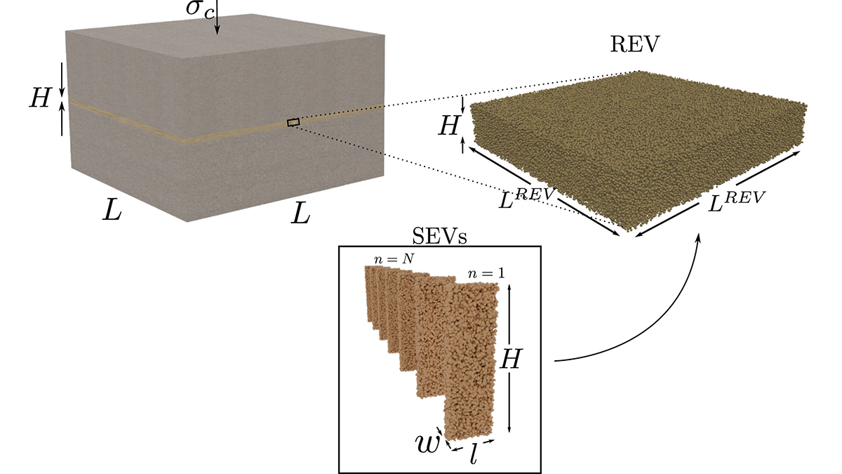
Numerical simulations demonstrate how averaging deformations at the grain scale may unravel the macroscopic friction and unstable slip behavior of a fault core.
earthquakes

Posted inResearch Spotlights
A New Measure of Roughness Could Advance Earthquake Geophysics
Scientists recently developed an alternative way to measure a rock’s roughness. It might help them understand the physics of faults.

Posted inENGAGE, News
Seaports Could Lose $67 Billion Yearly from Natural Disasters
Small islands and low-income nations face the largest relative monetary losses to their ports and maritime trade.

Posted inResearch Spotlights
Scientists Decipher the Seismic Dance of the Southern Alps
Most of the Alps are considered tectonically dead, but according to new research, the southeastern region—home to prosecco wine—is very much alive.


Posted inResearch Spotlights
New Tectonic Plate Model Could Improve Earthquake Risk Assessment
A new model of tectonic plates in New Zealand may identify areas of increased earthquake likelihood.

Posted inNews
Making Underwater Cables SMART with Sensors
Future cables that stretch across the ocean, transmitting cat videos and financial transactions, could also contain temperature, pressure, and seismic sensors that would allow scientists to spy on the seafloor.

Posted inEditors' Highlights
Coseismic Displacement of 1987 Earthquake from Aerial Images
Differencing digital surface topography models constructed from historical aerial photographs reveal the coseismic surface displacement field of the 1987 earthquake in northern New Zealand.

Posted inResearch Spotlights
Enhancing Earthquake Detection from Orbit
A new application of machine learning boosts scientists’ ability to use data from satellite navigation systems to detect and warn of earthquakes.
Posted inEditors' Highlights
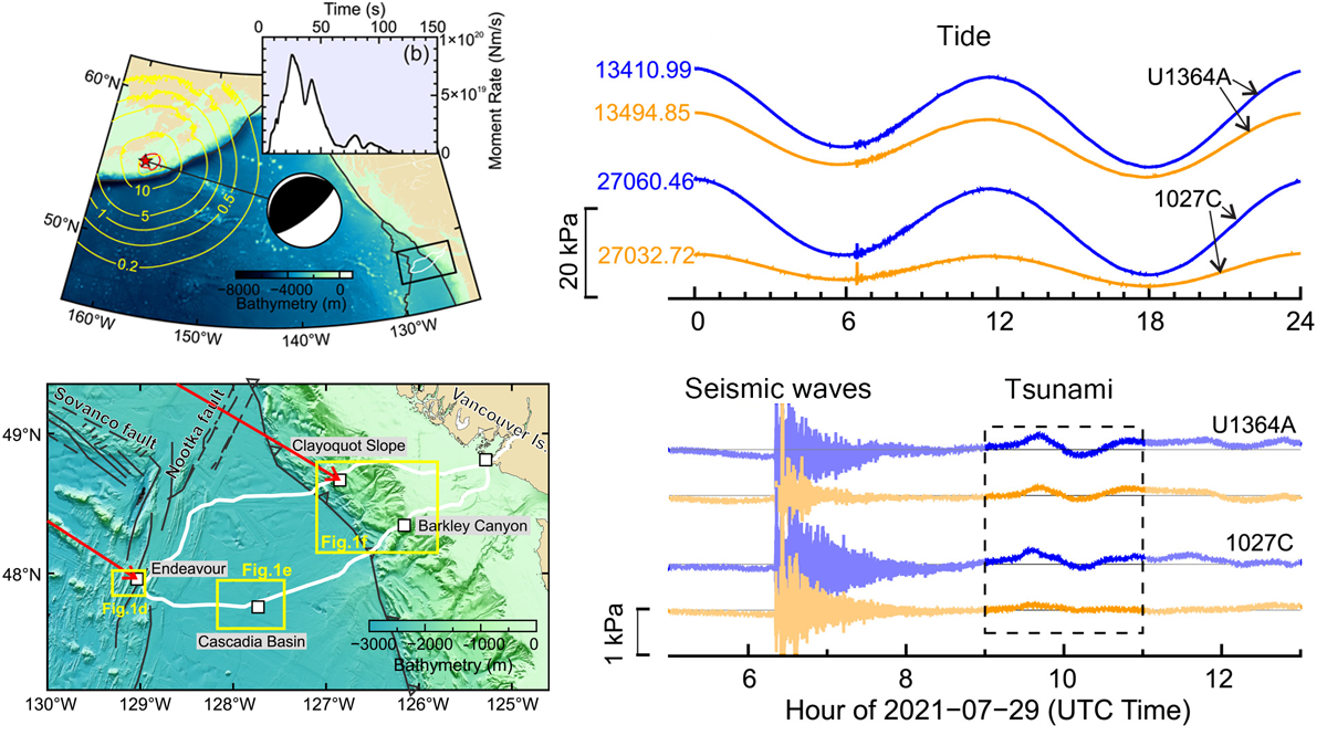
Under Pressure: Recording Earthquakes at and Below the Seafloor
Cabled ocean-floor observatories record ground shaking and pressure variations, which contribute to early warning systems and give us a unique view of the ocean–crust coupling.