
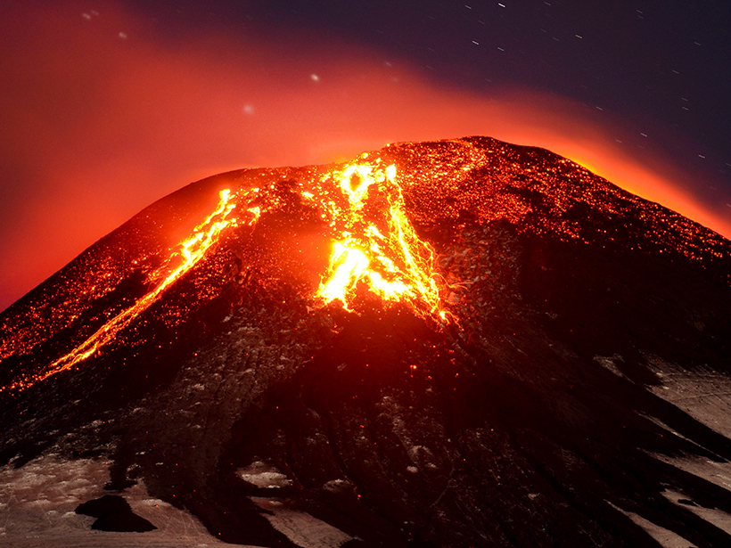
A widely used technique to monitor sulfur dioxide was tweaked to focus on water vapor at Peru’s Sabancaya Volcano. Results show that the volcano steamed up prior to its 2016 eruption.
forecasting
Posted inResearch Spotlights
Can Volcanic Gas Levels Predict an Eruption?
Researchers test whether the changing composition of volcanic gas can signal a coming eruption in Chile’s Villarrica volcano.

Posted inOpinions
Proposed Federal Budget Heightens Hurricane Risk
The health, welfare, and livelihood of millions depend upon our elected officials’ continued and robust support for hurricane research.
Posted inNews
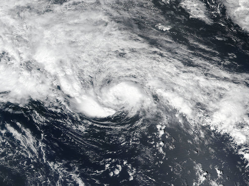
Scientists Predict Active Hurricane Season
A combination of warm sea surface temperatures and a weak or absent El Niño may create conditions conducive to tropical storm formation.
Posted inEditors' Vox
Reducing Uncertainty in Hazard Prediction
The editors of a new book describe how to characterize uncertainty in natural hazards, the incorporation of uncertainty into modeling, its contribution to better decision-making, and research needs.

Posted inNews
“Fingerprinting” Volcanic Tremors May Help Forecast Eruptions
Volcano seismic waves produce distinct tremor patterns, or "fingerprints," shared by different kinds of volcanoes.

Posted inScience Updates
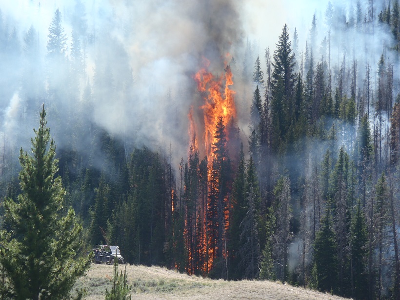
Meteorologists Track Wildfires Using Satellite Smoke Images
Enhancements to the National Oceanic and Atmospheric Administration's decision support system give forecasters new capabilities for tracking smoke from fires using satellite data.

Posted inScience Updates
New Data Buoys Watch Typhoons from Within the Storm
Advanced real-time data buoys have observed nine strong typhoons in the northwestern Pacific Ocean since 2015, providing high-resolution data and reducing the uncertainty of numerical model forecasts.
Posted inResearch Spotlights
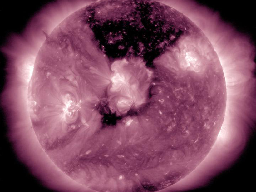
Scientists Probe the Calm After Solar Storms
In forecasting the effects of solar storms, understanding how they subside—and not just how they arrive—will be crucial.

Posted inResearch Spotlights
Sun Glitter Provides a Detailed Map of Ocean Waves
European scientists use satellite sensors to detect light reflected off waves at the ocean's surface, which could help improve wave forecasts.