• About
  • Special Reports
  • Topics
    • Climate
    • Earth Science
    • Oceans
    • Space & Planets
    • Health & Ecosystems
    • Culture & Policy
    • Education & Careers
    • Opinions
  • Projects
    • Postcards From the Field
    • ENGAGE
    • Editors’ Highlights
    • Editors’ Vox
    • Eos en Español
    • Eos 简体中文版
    • Print Archive: 2015–2025
  • Policy Tracker
  • Blogs
    • Research & Developments
    • The Landslide Blog
  • Newsletter
  • Submit to Eos
  • AGU.org
  • Career Center
  • Join AGU
  • Give to AGU
  • About
  • Special Reports
  • Topics
    • Climate
    • Earth Science
    • Oceans
    • Space & Planets
    • Health & Ecosystems
    • Culture & Policy
    • Education & Careers
    • Opinions
  • Projects
    • Postcards From the Field
    • ENGAGE
    • Editors’ Highlights
    • Editors’ Vox
    • Eos en Español
    • Eos 简体中文版
    • Print Archive: 2015–2025
  • Policy Tracker
  • Blogs
    • Research & Developments
    • The Landslide Blog
  • Newsletter
  • Submit to Eos
Skip to content
  • AGU.org
  • Career Center
  • Join AGU
  • Give to AGU
Eos

Eos

Science News by AGU

Support Eos
Sign Up for Newsletter
  • About
  • Special Reports
  • Topics
    • Climate
    • Earth Science
    • Oceans
    • Space & Planets
    • Health & Ecosystems
    • Culture & Policy
    • Education & Careers
    • Opinions
  • Projects
    • Postcards From the Field
    • ENGAGE
    • Editors’ Highlights
    • Editors’ Vox
    • Eos en Español
    • Eos 简体中文版
    • Print Archive: 2015–2025
  • Policy Tracker
  • Blogs
    • Research & Developments
    • The Landslide Blog
  • Newsletter
  • Submit to Eos

forecasting

Matt Lancaster sets up a GPS receiver.
Posted inScience Updates

Using Strain Rates to Forecast Seismic Hazards

by E. L. Evans 14 March 20175 October 2022

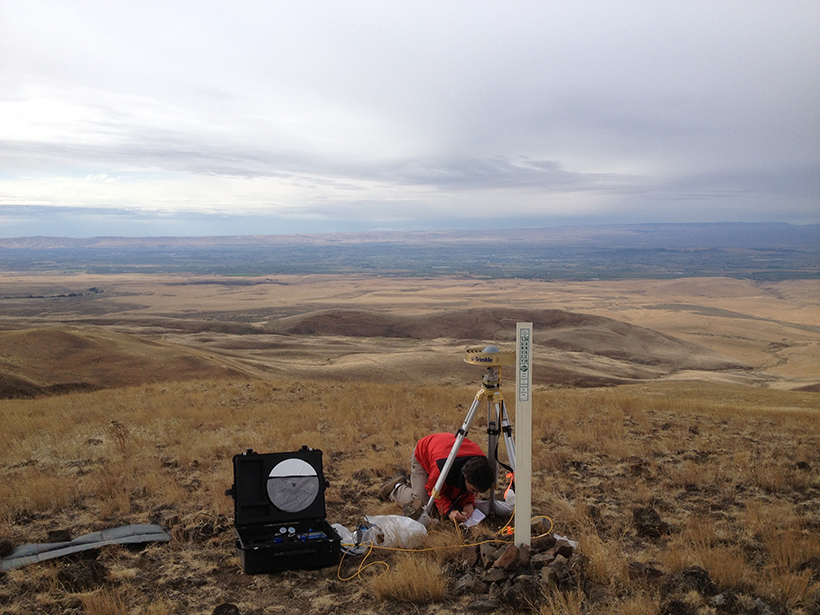
Workshop on Geodetic Modeling for Seismic Hazard; Menlo Park, California, 19 September 2016

Link between Atlantic sea surface temperatures and tropical cyclones in the eastern Pacific could improve future cyclone forecasts.
Posted inResearch Spotlights

A Two-Way Relationship Between the Atlantic and Pacific Oceans

by B. Bane 3 March 201715 February 2023

Researchers have uncovered a new connection between sea surface temperatures in the Atlantic and tropical cyclones in the eastern Pacific that could improve accuracies of future cyclone forecasts.
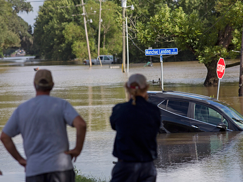
Storm image
Posted inNews

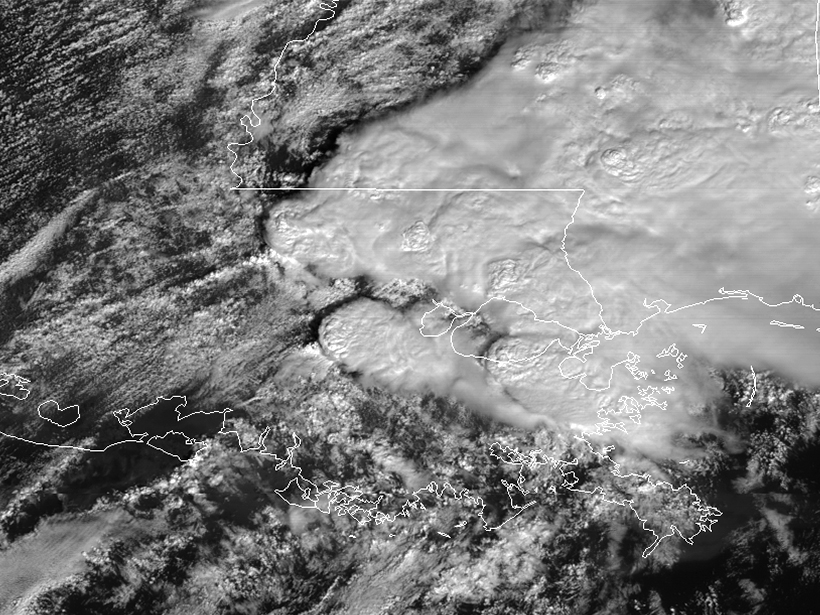
NOAA Video Shows Satellite Views of Louisiana Tornadoes

JoAnna Wendel, freelance science writer and illustrator by JoAnna Wendel 13 February 201730 August 2022

Real-time updates of storms will help forecasters track and predict where the most damage could occur.

Multispectral composite image allows weather forecasters to identify aviation hazards
Posted inScience Updates

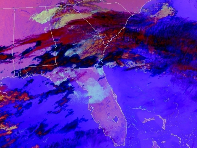
Transforming Satellite Data into Weather Forecasts

by E. Berndt, A. Molthan, W. W. Vaughan and K. Fuell 5 January 201727 July 2022

A NASA project spans the gap between research and operations, introducing new composites of satellite imagery to weather forecasters to prepare for the next generation of satellites.

Researchers hope to pinpoint timing of future eruptions in Italy’s Campi Flegrei caldera.
Posted inResearch Spotlights

When Might the Campi Flegrei Caldera Erupt Again?

Alexandra Branscombe by A. Branscombe 23 November 201630 September 2022

The clock may be ticking for Italy's Campi Flegrei caldera, a region with a pattern of numerous and sometimes large explosive eruptions. The next explosion could be less than 100 years away.

Environmental data buoy at Granite Island Light Station, a Great Lakes Evaporation Network site on Lake Superior.
Posted inScience Updates

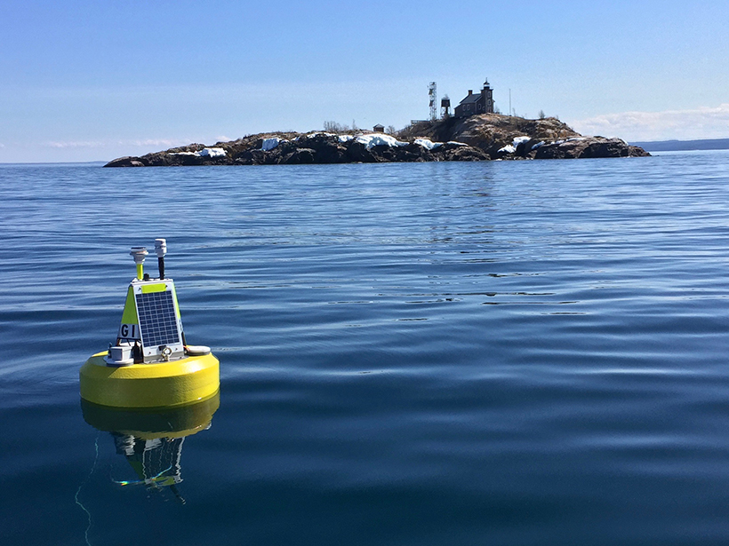
Predicting a Great Lake's Response to a Warm Winter

by J. D. Lenters, P. D. Blanken and B. Kerkez 11 November 201618 August 2025

The Superior Challenge Summit: Forecasting El Niño's Impact on the World's Largest Lake; Ann Arbor, Michigan, 17–19 May 2016

Low water levels in Uvas Reservoir in California, March 2014.
Posted inNews

U.S. Winter Outlook Sees No Drought Relief

by S. Lemonick 24 October 20166 February 2023

A weak La Niña is expected to further dry out southwestern and Gulf Coast states.

Flooding in Vienna after an ice dam failed on the Danube River in March 1830, captured here in a watercolor painting by Eduard Gurk
Posted inResearch Spotlights

How Vague Historical Writings Help Scientists Predict Floods

Leah Crane by L. Crane 13 September 20169 March 2023

By including imprecise historical written records in their calculations, researchers were able to decrease uncertainty in estimations of future flood frequency.

Residents in Louisiana survey a flooded road.
Posted inNews

New Flood Model Offers National Streamflow Coverage

JoAnna Wendel, freelance science writer and illustrator by JoAnna Wendel 19 August 201610 March 2023

The model, released by the National Weather Service, will provide neighborhood-level flood forecasting.

Posted inResearch Spotlights

Forecasting Space Weather Like Earth Weather

Leah Crane by L. Crane 19 August 201613 April 2022

Researchers find that as with terrestrial weather, ensemble forecasting—which uses several different models simultaneously—is the best way to produce accurate and precise forecasts of space weather.

Posts pagination

Newer posts 1 … 20 21 22 23 24 … 27 Older posts
Over a dark blue-green square appear the words Special Report: The State of the Science 1 Year On.

Features from AGU Publications

Research Spotlights

As Wildfires Increase in the West, So Does Suppression Spending

10 June 202610 June 2026
Editors' Highlights

Multi-Scale Fault Roughness Encapsulated in a Friction Law

11 June 202611 June 2026
Editors' Vox

Small-Scale Indian Ocean Dynamics Underpin Marine Ecology and Climate

4 June 20263 June 2026
Eos logo at left; AGU logo at right

About Eos
ENGAGE
Awards
Contact

Advertise
Submit
Career Center
Sitemap

© 2026 American Geophysical Union. All rights reserved Powered by Newspack