
Paleostress modeling shows how a region of the Andean Plateau was uplifted and formed beginning more than 20 million years ago.
geomorphology

Posted inNews
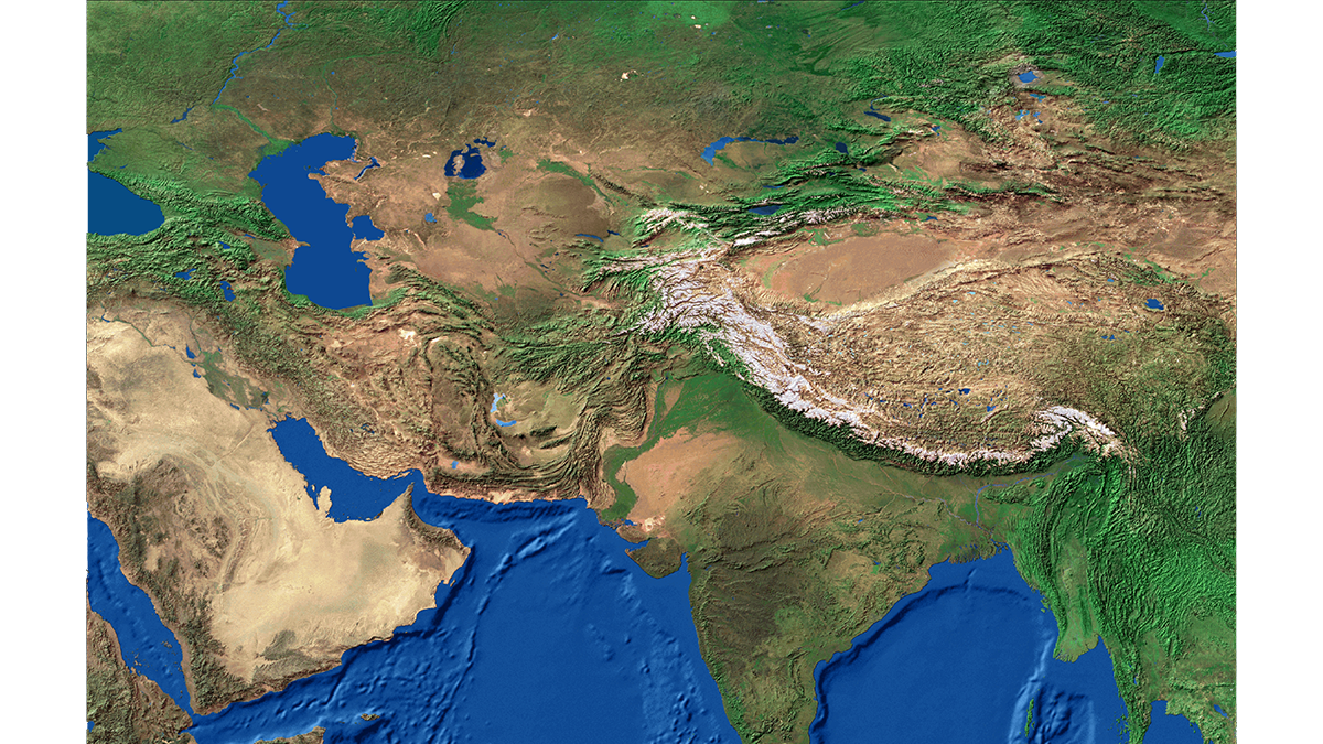
Sedimentary Basins Tell Zealandia’s Ancient Story
New interpretations and mapping of all New Zealand’s offshore sedimentary basins offer clues about the evolution of Earth’s eighth continent.

Posted inNews
Sand’s Role in Rerouting Meandering Rivers Is Bigger Than We Thought
Researchers delve into the dirt causing rivers to migrate.
Posted inEditors' Vox
Harmonizing Theory and Data with Land Data Assimilation
Land data assimilation advances scientific understanding and serves as an engineering tool for land surface process studies, reflecting the trend of harmonizing theory and data in the big data era.

Posted inENGAGE, News
Sea Otters’ Appetite for Crab Is Helping Strengthen Estuary Banks
Apex predators can have a powerful impact on coastal erosion rates by keeping grazer populations down, but their influence has been largely overlooked.

Posted inNews
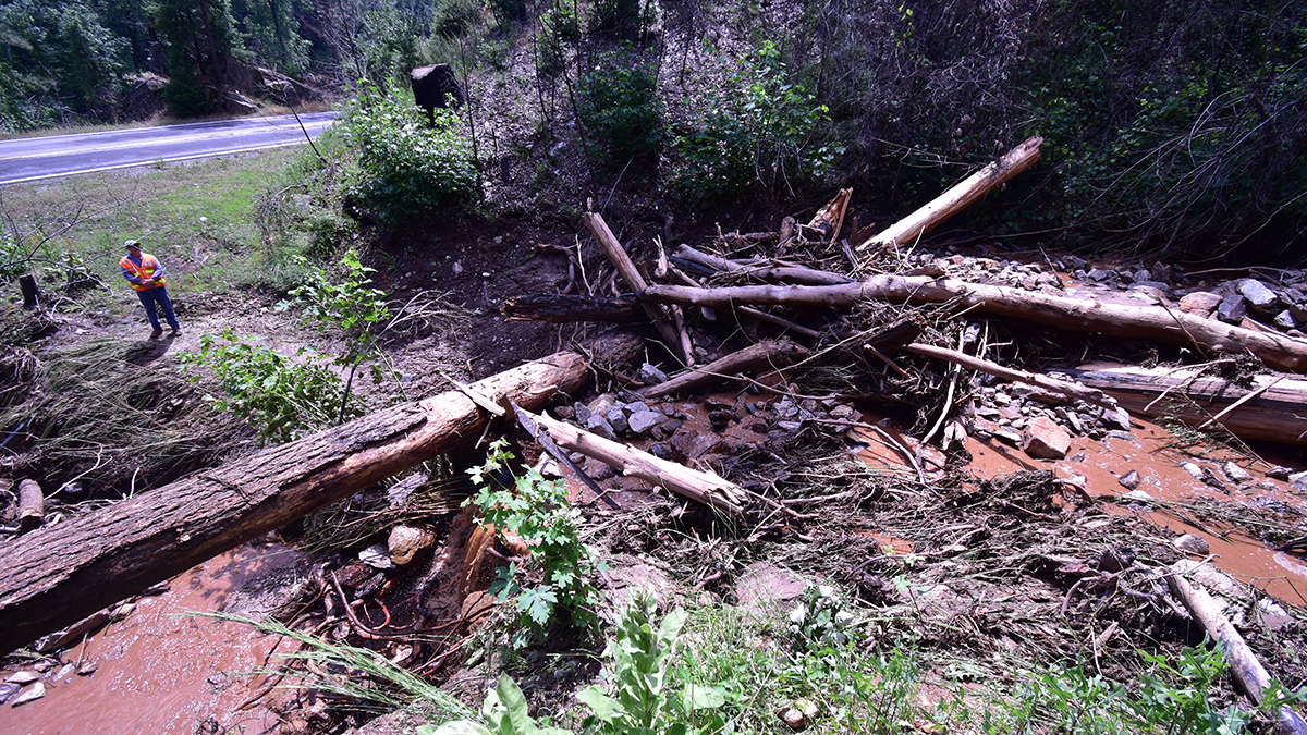
Postfire Debris Flows Strike in a Puzzling Pattern
California geologists are improving their understanding and forecasting of which slopes in wildfire-burned areas might fail during heavy rainstorms.

Posted inNews
A Philippine Island Detective Story
Researchers snorkeled, drilled, profiled, mapped, and interviewed to unlock clues to how an island was born.

Posted inENGAGE, News
Microbe Goo Could Help Guide the Search for Life on Mars
Sticky substances secreted by microbes may help create landforms on Earth. And new research shows that these substances are more preserved in iron-rich sediment. Mars is decidedly iron-rich (it’s the Red Planet, after all), so the new study adds to evidence that microbe goo could help researchers explain landform creation there. “I think this is […]

Posted inResearch Spotlights
Seafloor Shapes on the Flanks of Mid-Ocean Ridges Linked to Magma Supply
New research suggests the source of morphologic variation on mid-ocean ridges might be deeper than scientists thought.