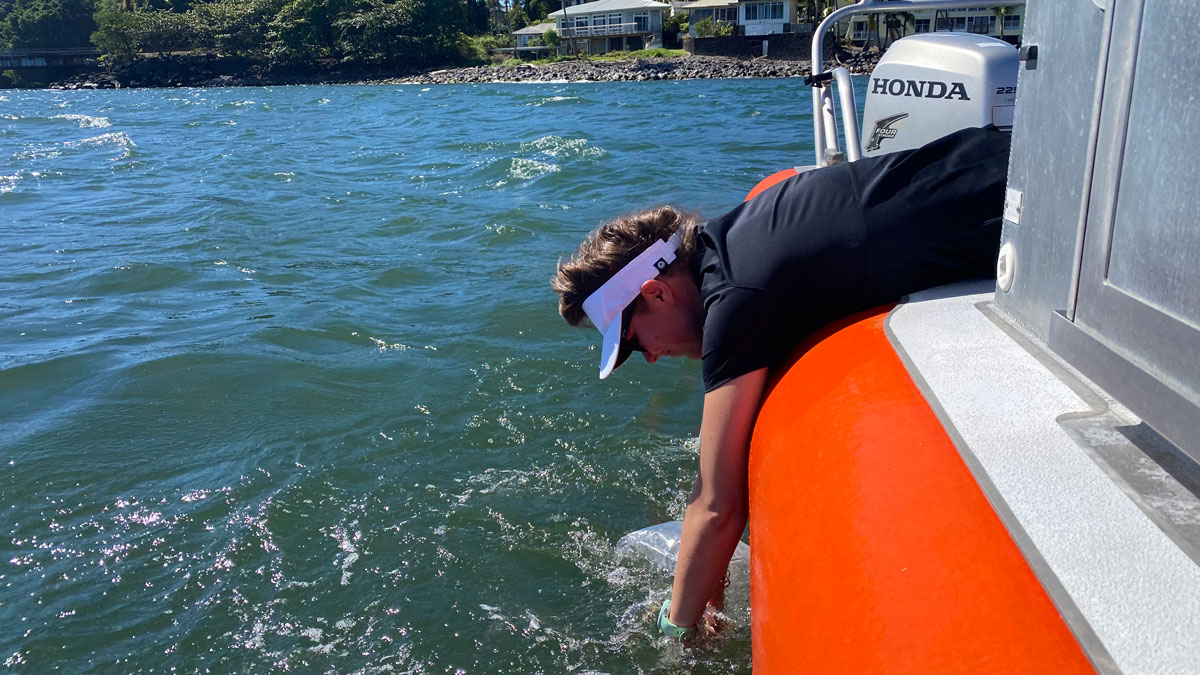
Cesspools and septic systems, as well as coastal development, put Hawaiian coastal waters at risk of contamination.
mapping
Posted inFeatures
New Maps of Natural Radioactivity Reveal Critical Minerals and More
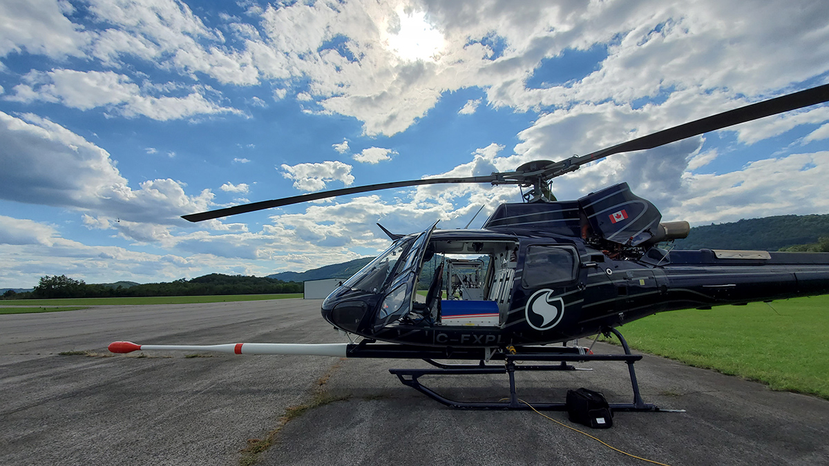
High-resolution airborne radiometric surveys are covering more ground than ever to provide insights into unseen geology, mineral resource potential, and possible health hazards.
Posted inNews
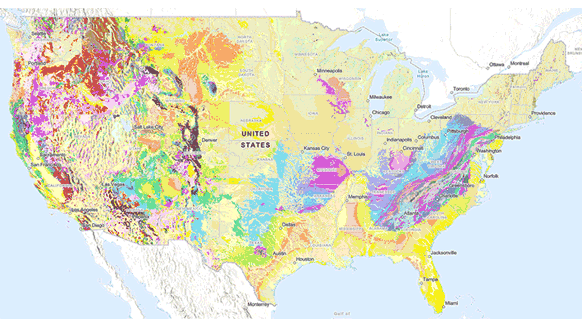
New USGS Map Offers an Interactive Look at the Rocks Beneath Our Feet
The Cooperative National Geologic Map is an interactive tool that builds on both cutting-edge technology and decades of mapping by geoscientists.
Posted inNews
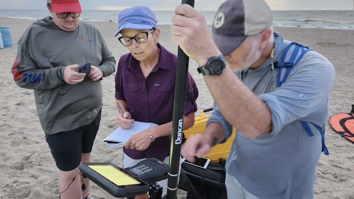
Inside a Georgia Beach’s High-Tech Fight Against Erosion
Armed with drones and lasers, scientists are creating detailed 3D maps of Tybee Island’s shifting shoreline.
Posted inNews
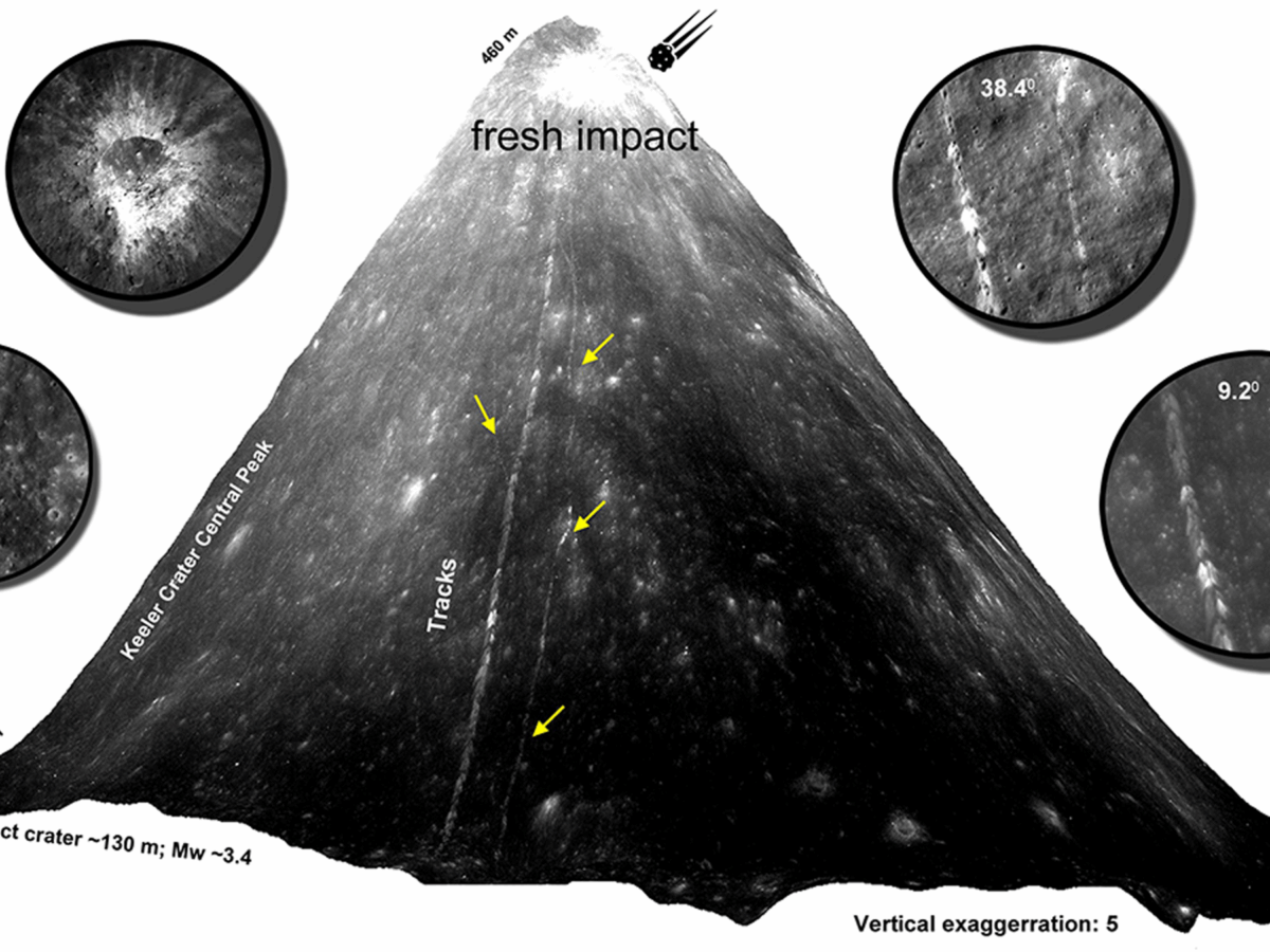
Scientists Track Down Fresh Boulder Falls on the Moon
By poring over thousands of satellite images, researchers geolocated 245 fresh boulder tracks, revealing signs of seismic activity or impact events within the last half-million years.
Posted inEditors' Highlights
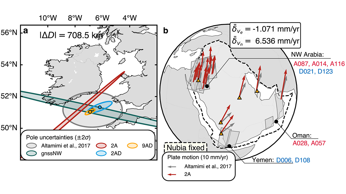
Mapping the Whereabouts of Continents
A new method integrates Interferometric Synthetic Aperture Radar (InSAR) with conventional ground geodetic networks, taking us closer to high-resolution mapping of plate motions.
Posted inNews
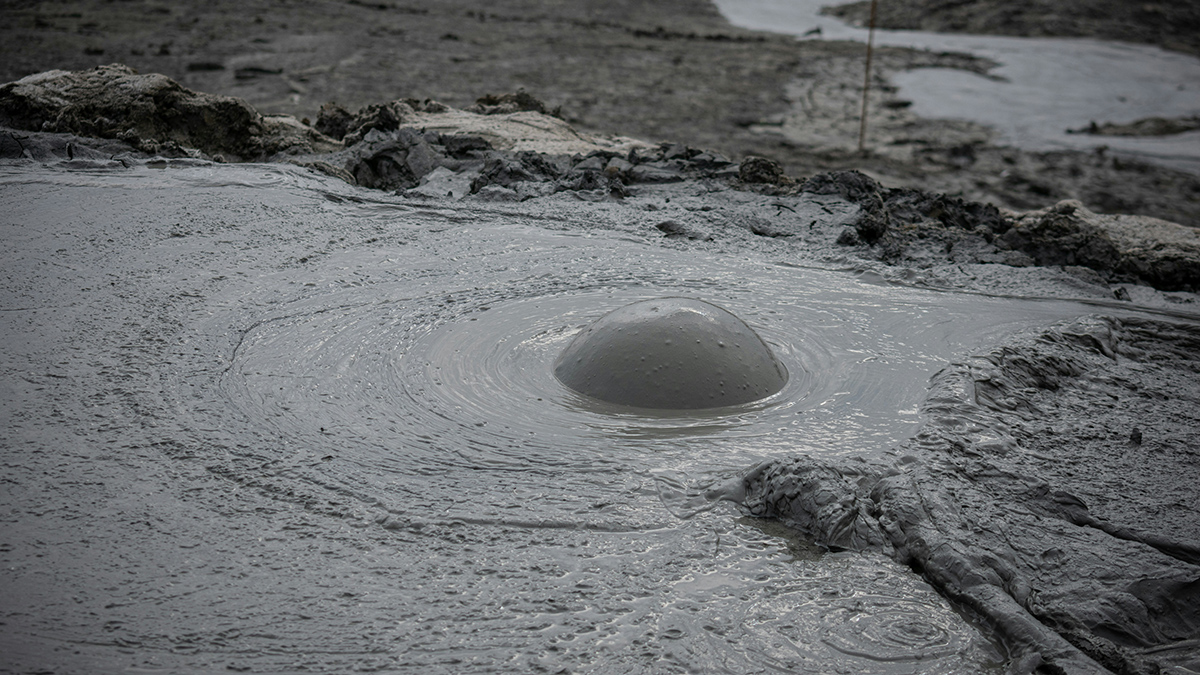
Mapping Mud Volcanoes in Shallow Seas
A team of scientists put together a global database of submarine mud volcanoes. Orders of magnitude more are still bubbling, undiscovered, in the deep ocean.
Posted inFeatures
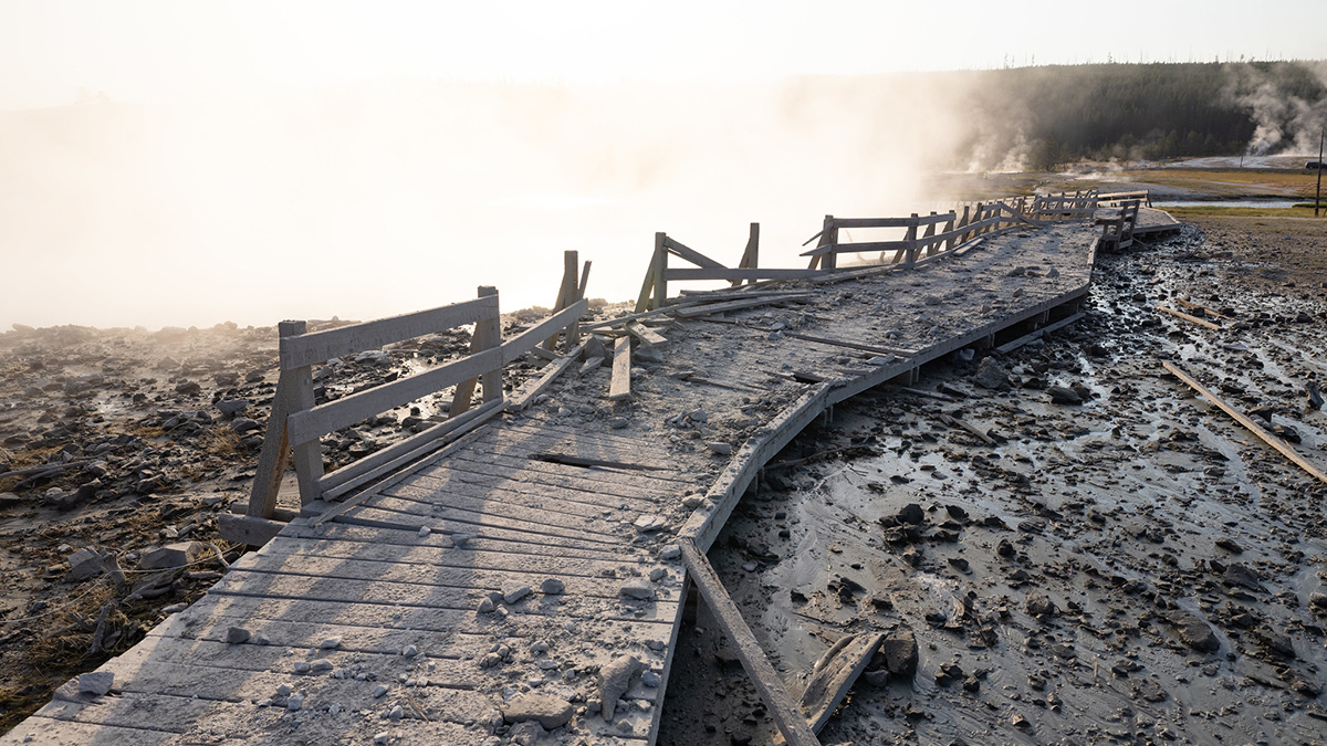
Hydrothermal Hazards on Display in Yellowstone National Park
Tourists and officials were startled by a hydrothermal explosion at Black Diamond Pool in July 2024. Geoscientists are working out how and why it occurred to better understand these hazardous events.

Posted inNews
As Climate Changes, So Do Gardens Across the United States
Warmer winter temperatures have altered frost patterns and growing seasons across the United States, forcing botanical gardens and arboretums to adapt.
Posted inResearch Spotlights
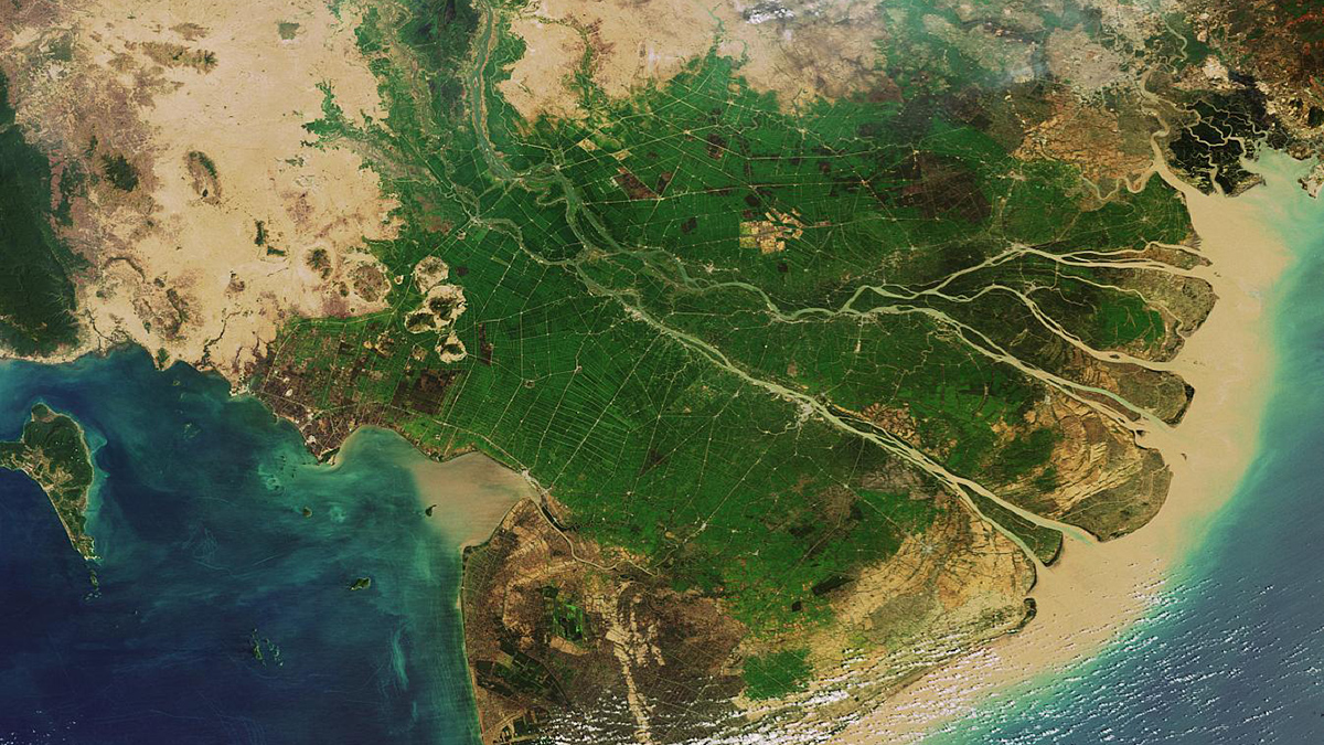
New Global River Map Is the First to Include River Bifurcations and Canals
GRIT provides a much more detailed look at how rivers merge and split, which could enhance hydrological modeling, flood forecasting, and water management efforts.