
The role the deep Earth plays in creating topography is hotly debated. A new study uses subtle elevation changes around the globe as evidence that the mantle plays a key role in building topography.
Modeling
Posted inEditors' Highlights
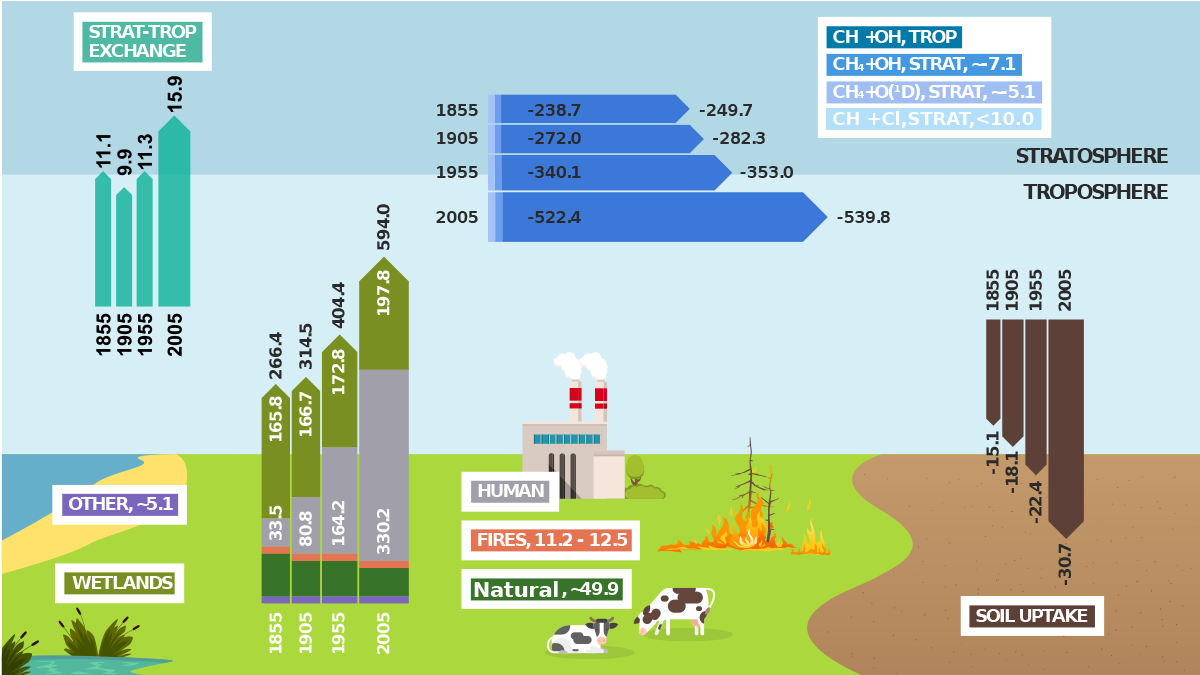
A Significant Advancement in Modeling the Global Methane Cycle
The capability to fully model the global methane cycle advances the international climate science community’s ability of providing essential evidence to underpin climate mitigation policy.
Posted inResearch Spotlights
Models Oversimplify How Melting Glaciers Deform Land
When glaciers melt, the land below deforms. Sea level data show that widely used models oversimplify the process.
Posted inNews
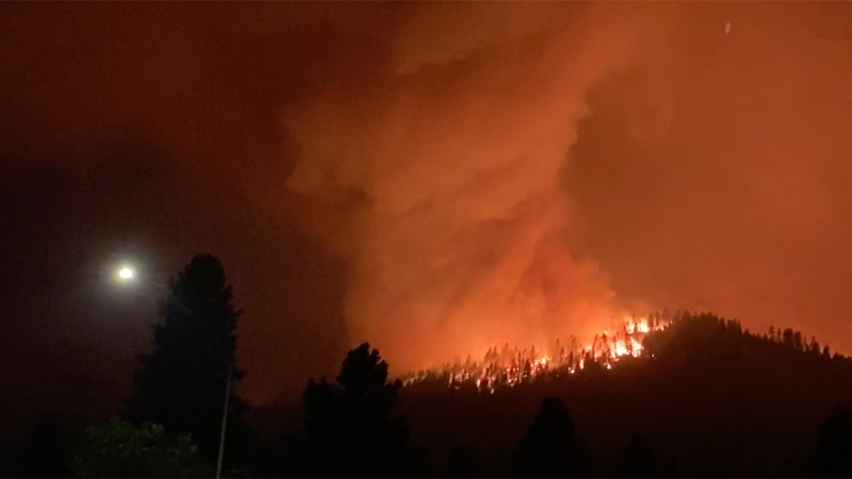
Chasing Fire Tornadoes for Science
Recent research suggests fire-generated vortices are always present during wildfires.
Posted inEditors' Vox
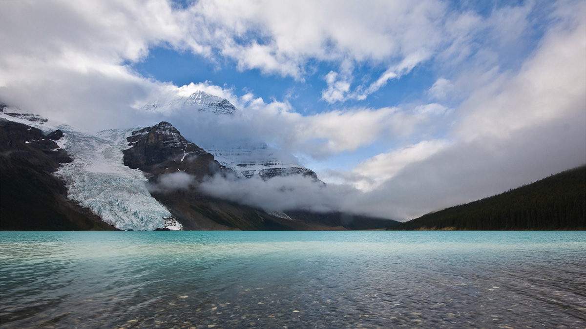
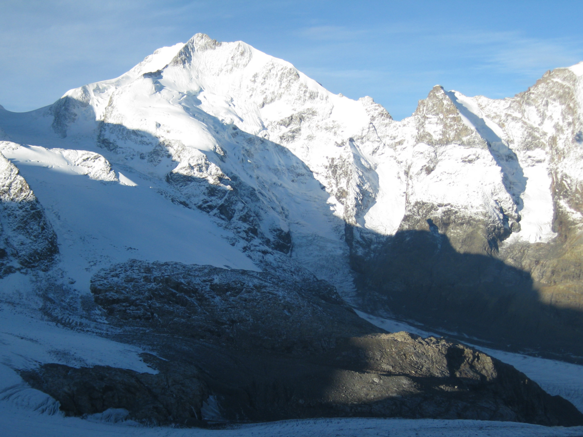
Modeling the Ice Flow and Evolution of Glaciers
Glaciers are crucial water resources and important sea level contributors. To accurately model glacier evolution, their mass balance and ice flow processes must be accounted for.

Posted inNews
Estimating Land Loss in River Deltas
Some deltas are susceptible to land loss during sea level rise, whereas others gain land because of changes in the courses of rivers.

Posted inNews
Irrigation in Indo-Gangetic Plain Has Little Impact on Heat Stress
Irrigation-related cooling during summer months is overestimated by roughly 5 times, highlighting the need for climate models to accurately reflect local agricultural practices.

Posted inResearch Spotlights
Los efectos del cambio climático en las tasas de suicidio en los EE.UU.
La incidencia del suicidio podría incrementarse hasta a 1660 casos anuales, dependiendo de qué tanto cambie el clima.

Posted inEditors' Vox
Eastern Mediterranean and Middle East Face Rapid Climate Change
Observational and modeling studies identify the Eastern Mediterranean and Middle East as a prominent climate change hotspot associated with weather extremes that have major impacts on society.

Posted inEditors' Highlights
The Shape of Pits on the Moon
Three-dimensional reconstructions enable virtual exploration of pits on the Moon.