
Gulf of Mexico and Caribbean sea surface temperatures could surpass coral bleaching thresholds in the region as soon as 2050, motivating the need for prompt mitigation, researchers say.
Modeling

Posted inEditors' Highlights
Variability of ENSO Forecast Skill Over the 20th Century
El Niño Southern Oscillation (ENSO) predictability is examined in a new global coupled retrospective forecast ensemble for the 20th Century.

Posted inResearch Spotlights
How We’re Reshaping Global Water Storage
Researchers modeled and mapped how eight key aspects of human societies affect hydrological cycles.
Posted inEditors' Highlights
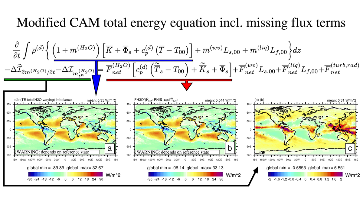
Consistently Closing the Energy Budget in Earth System Models
Researchers review the challenges and prospects of Earth System Models that incorporate a consistent closed energy budget.

Posted inNews
The Amazon Rain Forest Can’t Keep Up with Droughts
Droughts in one region of the Amazon can lead to less moisture elsewhere, and trees may not adapt quickly enough to survive.

Posted inFeatures
Simpler Presentations of Climate Change
The basics of climate change science have been known for a long time, and the predicted impact of a doubling of atmospheric carbon dioxide on global temperature hasn’t changed much in 100 years.
Posted inEditors' Highlights
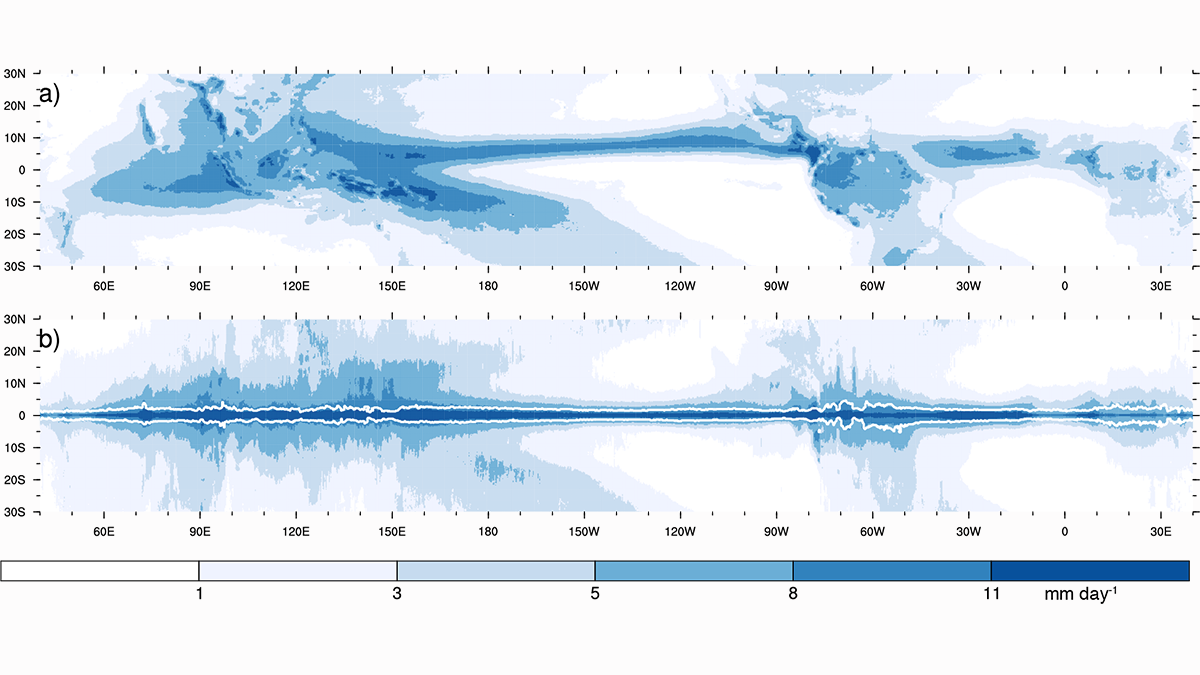
Why Does It Rain So Much Over Tropical Land?
Analyses of observations show that tropical land receives more rain than its fair share, owing to a proposed negative feedback that is not captured in current climate models.

Posted inEditors' Highlights
The Long-Lasting Impact of a Nuclear War on the Ocean
Model simulations of the impact of a large-scale nuclear war reveal long lasting effects with much of the ocean not returning to pre-war levels despite the cessation of the initial cooling.
Posted inEditors' Highlights
Quantifying Changes in Midlatitude Subseasonal Prediction Skill
The differences between future and present subseasonal predictability in the Northern Hemisphere provided by the tropics are evaluated using neural networks.

Posted inNews
Major Investment in Air-Conditioning Needed to Address Future Heat Waves
More than 80% of urban residents will need AC by the 2050s, but many of the world’s poorer countries may struggle to meet that demand.