The internal hydraulic properties of plants are difficult to measure but may be inferred from observable sap flow.
Modeling

Posted inResearch Spotlights
Missouri River Floodplain Expansion, Services, and Resiliency
Benefits might accrue for both wildlife and climate resiliency if more floodplains along the lower Missouri River were allowed to flood.
Posted inEditors' Highlights
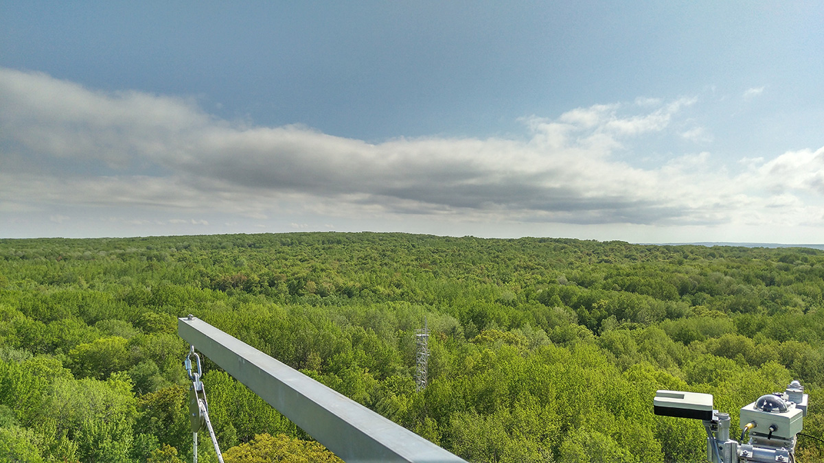
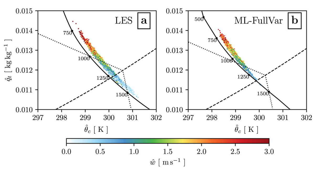
Modeling Entrainment with Machine Learning
Researchers present a new approach to modeling the stochastic mixing process of convection using a machine learning technique.

Posted inEditors' Highlights
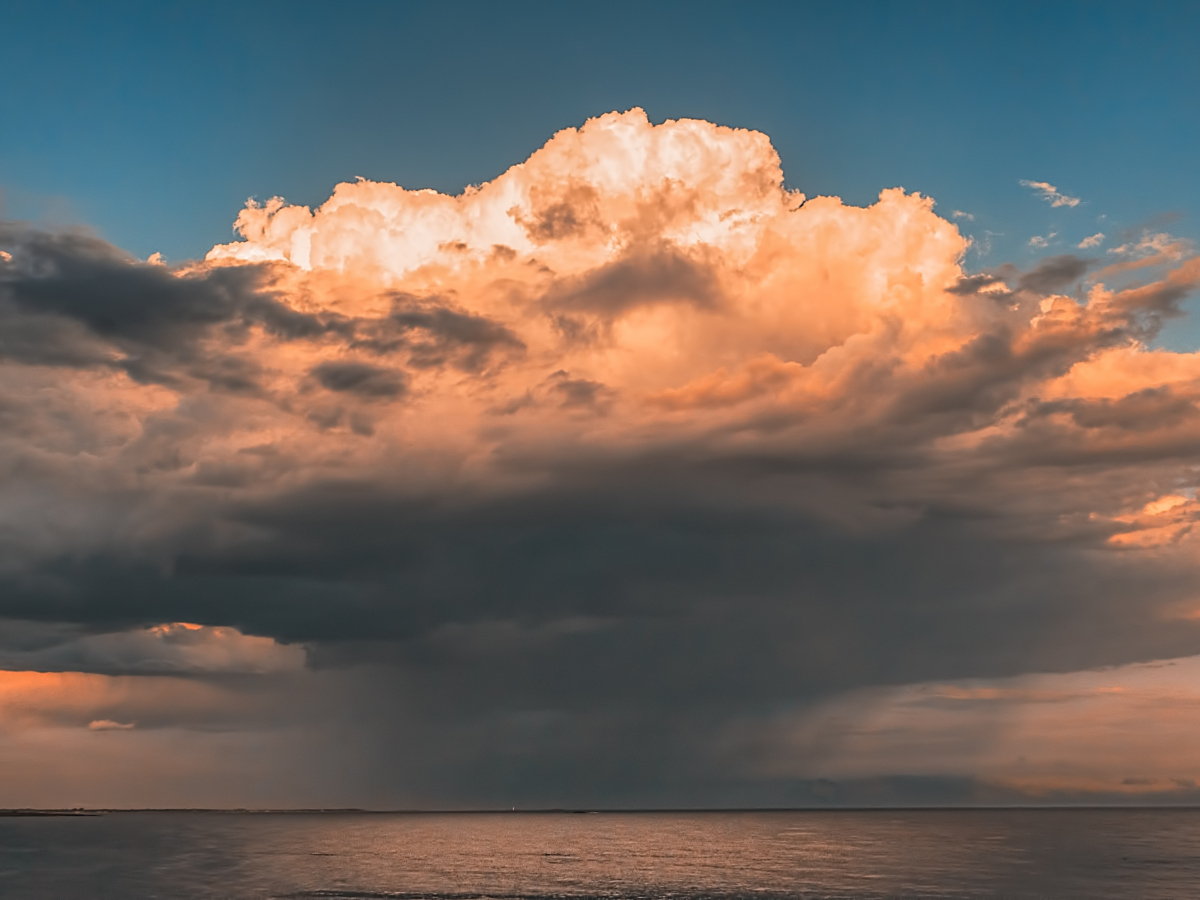
Landfalling Hurricanes Intensify Due to Coastal Downwelling
Hurricane winds can lead to coast downwelling, which brings warmer surface water near the coast and can contribute to the intensification of the landfalling hurricane.
Posted inResearch Spotlights
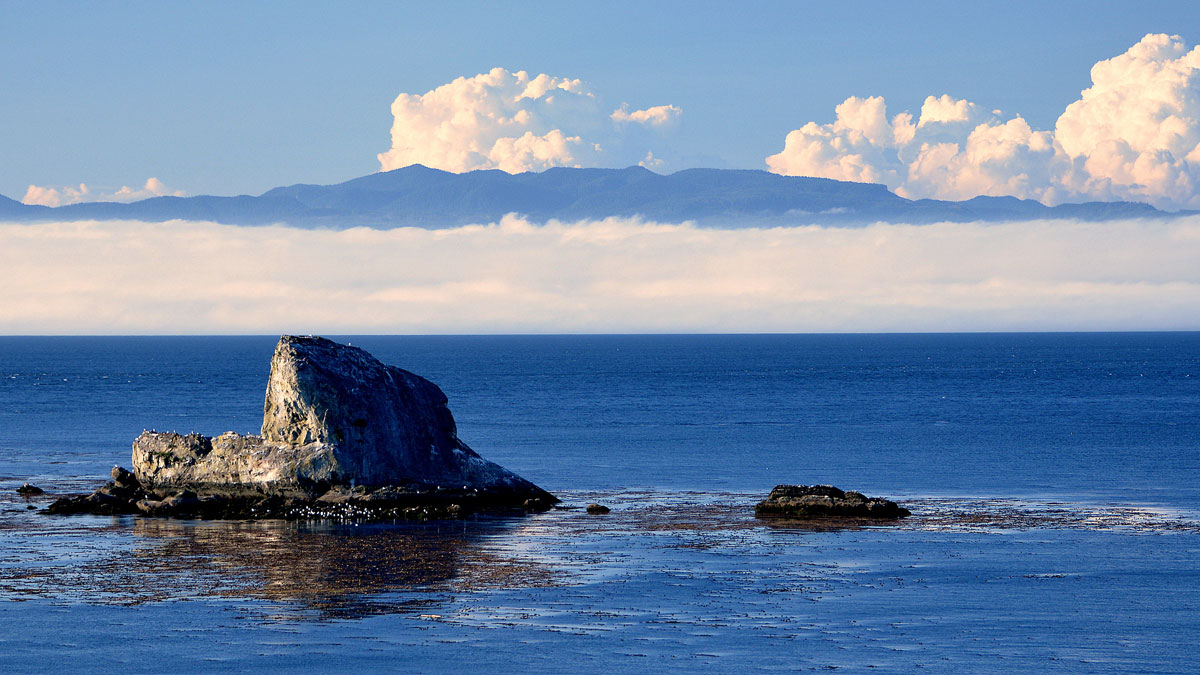
Tracing Water Particles Back in Time
Every summer, a low-oxygen pool settles off Canada’s western coast. A new study uses robust modeling to track the origins of the dense water.

Posted inEditors' Highlights
Western US Adjoint Tomography Reproduces Waveform Complexity
Adjoint tomography employing 3D wavefield simulations for 72 well recorded regional earthquakes in the western U.S. yields spectacular improvements to waveform fits.
Posted inOpinions
Nobel Recognition for the Roles of Complexity and Intermittency
The 2021 Nobel Prize in Physics was awarded to three scientists “for groundbreaking contributions to our understanding of complex physical systems.”
Posted inEditors' Highlights
More Accurately Modeling Rain Formation
Rain and cloud droplets are treated as distinct categories in most models yet lie on a continuous droplet size spectrum in nature. Representing them as part of a continuous spectrum improves models.
Posted inNews
The Domino Effect of Freshwater Suffocation
As lakes and reservoirs become anoxic, they can promote poor water quality downstream.
Posted inEditors' Highlights
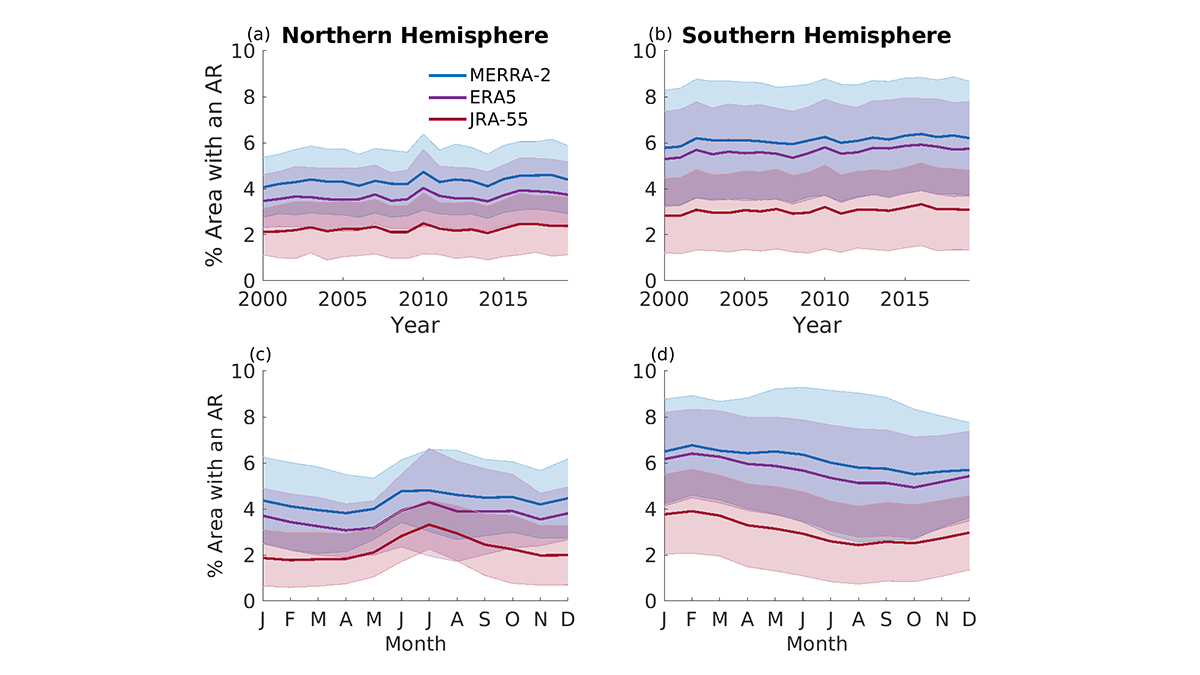
Comparing Methods for Analysis of Atmospheric Rivers
Results from the Atmospheric River Tracking Method Intercomparison Project (ARTMIP) describe the similarity and difference of using eleven detection algorithms and three reanalysis products.