
Satellites designed to observe ocean winds can also be used to map both forest structure and water content, allowing researchers to disentangle factors of carbon loss due to drought in the Amazon.
satellites
Posted inNews
Report Recommends Priorities for Earth Observations from Space
The new strategic plan, which builds on earlier road maps for observing the planet, identifies top targets for satellite scrutiny for the next decade.

Posted inResearch Spotlights
Tracing Electric Currents That Flow Along Earth’s Magnetic Field
A new study uses satellite data to examine a worldwide system of electric currents in greater detail than ever before.

Posted inNews
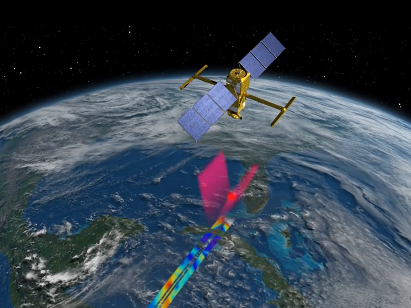
Advanced Satellite Tracks Air Pollution in Extraordinary Detail
The unparalleled resolution of the European Space Agency’s Sentinel-5P’s spectrometer will allow scientists to pinpoint pollution sources, the agency reports.

Posted inEditors' Vox
Examining our Eyes in the Sky
A recent paper in Reviews of Geophysics explored the challenges of validating data collected from Earth observation satellites.

Posted inResearch Spotlights
Reducing Errors in Satellite-Derived Arctic Sea Ice Thicknesses
Salty snow throws off satellite-based estimates of Arctic sea ice thickness by up to 25%. A new method seeks to fix that.

Posted inNews
Polar Satellite Launch Eases Concerns of Weather Data Gap
Joint Polar Satellite System-1 is the first in a series of planned polar-orbiting satellites to provide critical weather forecasting data. Two follow-on satellites, however, face uncertain funding.
Posted inResearch Spotlights
Satellites Accurately Capture Ocean Salinity in the Arctic
On-the-ground measurements are notoriously difficult in the harsh environment of the Arctic, but satellites could help close the gap in measuring sea surface salinity.
Posted inResearch Spotlights
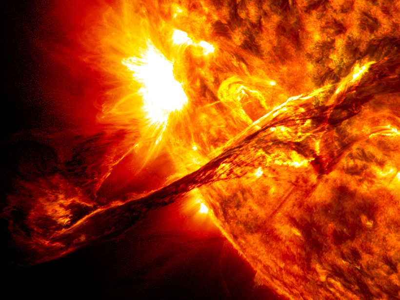
NASA Fleet Helps Predict Space Weather
Using 8 years of data collected via spacecraft, scientists produce hindcasts of plasma eruptions from the Sun. These will help improve forecasts.
Posted inScience Updates
Putting Satellite Maps of Surface Water to Practical Use
2nd SWOT Application User Workshop: Engaging the User Community for Advancing Societal Applications of the Surface Water Ocean Topography (SWOT) Mission, Reston, Virginia, 5–6 April 2017