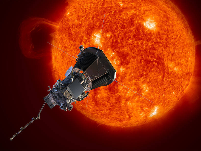
Technological improvements, including an advanced thermal protection system and innovative solar arrays, have helped to get this mission off the drawing board.
cool tools

Posted inScience Updates
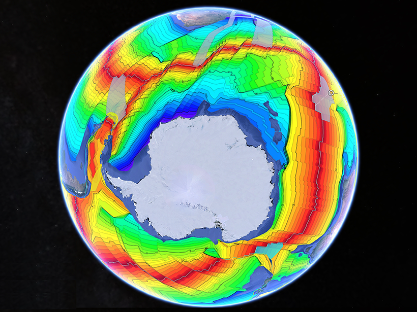
Airborne Platforms Help Answer Questions in Polar Geosciences
International Workshop on Airborne Geodesy and Geophysics with Focus on Polar Applications; Dresden, Germany, 19–21 April 2017

Posted inEditors' Vox
Annotation Tool Facilitates Peer Review
AGU journals will incorporate open source software to facilitate dialog among reviewers, editors and authors during peer review.

Posted inResearch Spotlights
When Ice and Lightning Align
A new technique can remotely sense strong electrical fields within storm clouds.
Posted inScience Updates
A Grand Tour of the Ocean Basins
A new teaching resource facilitates plate tectonic studies using a Google Earth virtual guided tour of ocean basins around the world.

Posted inResearch Spotlights
Detecting Gas Leaks with Autonomous Underwater Vehicles
A Norwegian team develops an improved, cost-effective method to detect chemical discharges under the sea.
Posted inNews
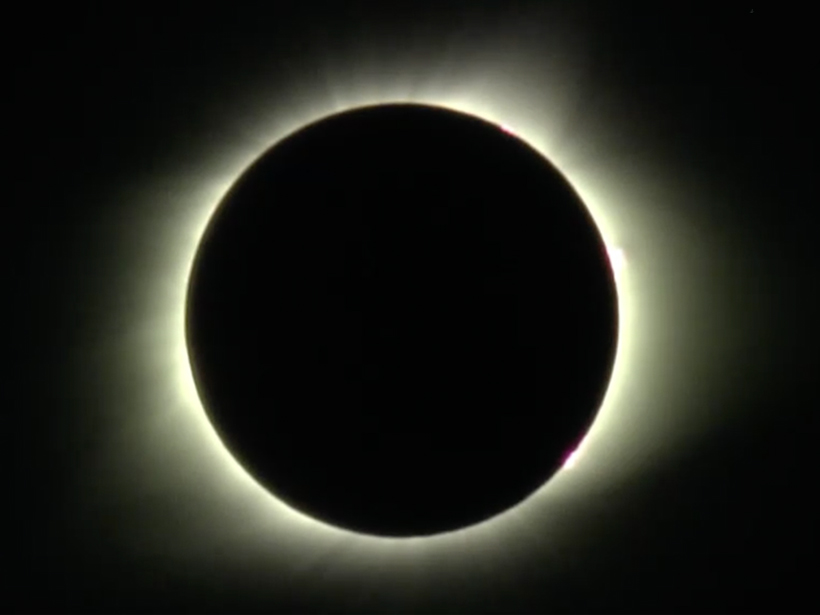
Sixteen Eclipse Studies That Illuminate Science from the Shadow
From jets that will chase the Moon’s shadow to a telescope designed to mimic the eyes of a mantis shrimp, projects across the United States will pack science into mere minutes when day turns to dark.
Posted inScience Updates
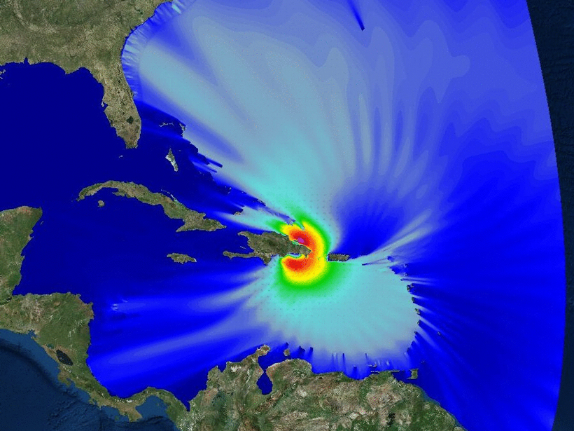
A Test Bed for Coastal and Ocean Modeling
An ocean modeling program is improving our ability to predict circulation along the U.S. West Coast, dead zones and other coastal ecosystem responses, and storm surges in island environments.
Posted inNews
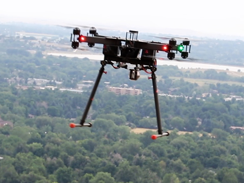
Airborne Laser Spectroscopy System Can Map Atmospheric Gases
A new versatile spectroscopy system could create ultraprecise maps of Earth’s atmosphere, detect methane emission sources, and scan for chemical weapons.
Posted inScience Updates
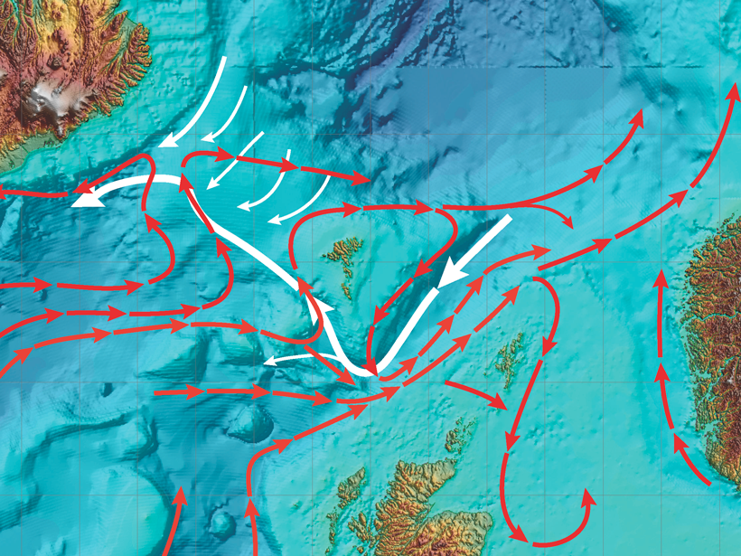
Tracking Water Through the North Atlantic Ocean
Workshop on Currents and Transports Across the Iceland-Faroe-Scotland Ridge; Tórshavn, Faroe Islands, 9–10 January 2017