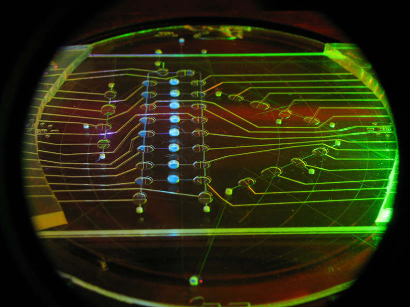
Third International Workshop on Instrumentation for Planetary Missions; Pasadena, California, 24–27 October 2016
cool tools
Posted inNews
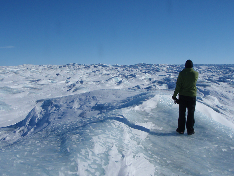
New Instrument May Aid Search for Extraterrestrial Life
For 2 weeks on the Greenland ice cap, scientists tested an instrument that might help us find life on icy moons with oceans beneath their crusts.

Posted inScience Updates
Optical Sensors Can Shed Light on Particle Dynamics in the Ocean
First TOMCAT Workshop; Southampton, UK, 12–14 September 2016
Posted inResearch Spotlights
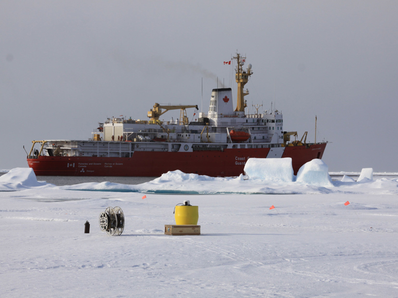
How Arctic Ice Affects Gas Exchange Between Air and Sea
Scientists begin to fill a major data gap by investigating carbon dioxide dynamics in a remote region of the Arctic Ocean.
Posted inResearch Spotlights
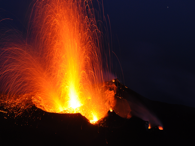
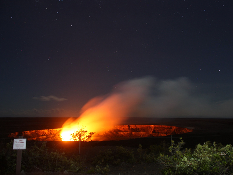
Tracking Volcanic Bombs in Three Dimensions
A new method allows researchers to precisely track in three dimensions bits of fragmented magma as they are expelled in explosive volcanic eruptions.
Posted inResearch Spotlights
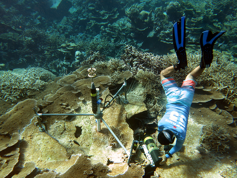
Scientists Develop New Tool to Monitor Reef Health
A first-of-its-kind system could reveal short-term changes in threatened reefs worldwide.
Posted inScience Updates
Synthesizing Our Understanding of Earth's Deep Carbon
The Deep Carbon Observatory is entering a new phase, in which it will integrate 10 years of discoveries into an overarching model to benefit the scientific community and a wider public.
Posted inScience Updates
Measuring Earth’s Gravity Field from the Air
2016 Airborne Gravimetry for Geodesy Summer School; Silver Spring, Maryland, 23–27 May 2016
Posted inScience Updates
Developments in the Study of Rock Physics
AGU/SEG Joint Workshop on Upper Crust Physics of Rocks; Hilo, Hawaii, 11–14 July 2016

Posted inOpinions
Why We Must Tie Satellite Positioning to Tide Gauge Data
Accurate measurements of changes in sea and land levels with location and time require making precise, repeated geodetic ties between tide gauges and satellite positioning system equipment.