
An alpine lake holds traces of how Spanish conquistadors kicked up dust as they colonized the Southwest.
culture & policy

Posted inResearch & Developments
NSF Cuts Hundreds of Science Program Budgets by Up to 30%
The National Science Foundation (NSF) has slashed budgets for hundreds of its basic science programs for the remainder of this fiscal year, according to an 18 June memo obtained by Science.

Posted inResearch Spotlights
As Wildfires Increase in the West, So Does Suppression Spending
A new study projects the intertwined relationship between fires and the money spent fighting them.

Posted inResearch & Developments
Trump Administration to Remove Hundreds of Deep-Ocean Observation Instruments, Dismantling $368 Million Program
The Trump administration’s National Science Foundation (NSF) has begun dismantling the infrastructure of a $368 million deep-ocean observing program critical to monitoring marine ecosystems, global currents, marine heat waves, and more, according to a 21 May announcement.
Posted inNews
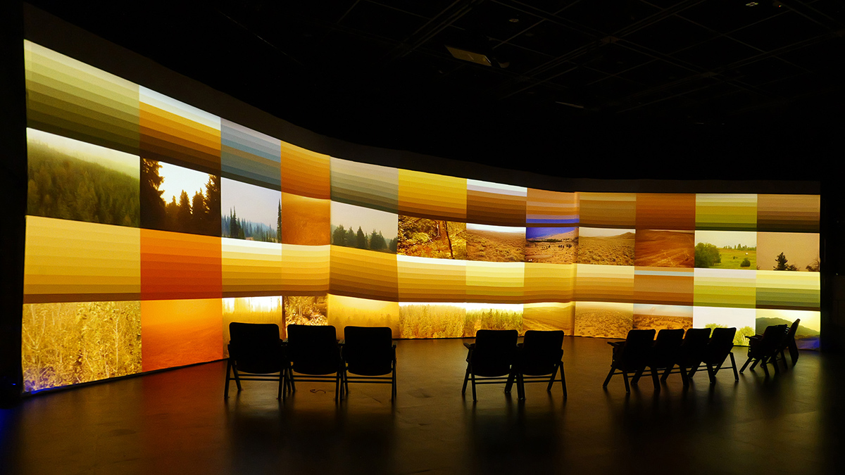
Artists and Scientists Partner to Bring Atmospheric Data to Life
In the fluxART project, scientists using eddy covariance to study atmospheric flux partnered with artists to help communicate the “breath of the biosphere.”
Posted inResearch & Developments
Judge Blocks NSF From Dismantling NCAR
“NSF’s failure to provide any explanation for its decision—let alone a reasonable one—thwarts meaningful judicial review and renders the challenged action arbitrary and capricious,” the judge wrote.

Posted inResearch & Developments
White House Proposes Sweeping Changes to Grantmaking Process
The Office of Management and Budget (OMB) proposed a new rule on 28 May that, if finalized, would give political appointees approval power over scientific grants, reduce support for international collaboration, limit funding for publication fees, and make other extensive alterations to the federal government’s funding review process.
Posted inResearch & Developments
The 50-Hour Livestream That Aims to #SaveAmericasForecasts
This week, a parade of scientists will spend 50 hours straight speaking about the importance of weather and climate research in the United States.
Posted inResearch & Developments
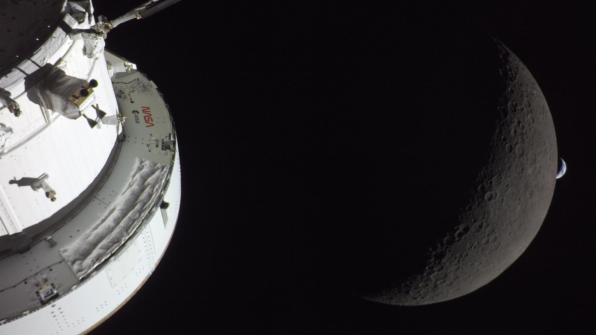
NASA Announces “Realignment” Toward Human Spaceflight
NASA announced an agencywide realignment that includes combining related mission directorates to sharpen the agency’s focus on human spaceflight.
Posted inNews
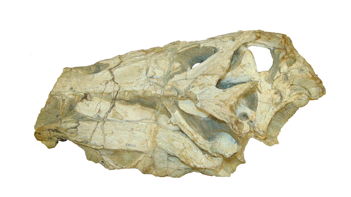
Germany to Return Contested Dinosaur Fossil to Brazil
Following a long restitution campaign, both countries announced their willingness to repatriate the 110-million-year-old spinosaurid Irritator challengeri.