The first study to examine the ability of a suite of general circulation models to predict sudden warmings in Earth’s stratosphere highlights the potential for improving Northern Hemisphere forecasts.
forecasting
Posted inNews
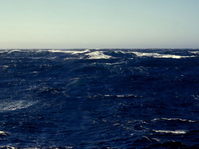
Take Weather Prediction with a Grain of Salt and It Gets Better
Sea surface salinity is starting to rival other methods for seasonal rain forecasting.

Posted inNews
Ice Drove Past Indo-Pacific Climate Variance
Researchers used both terrestrial and marine proxy data to reconstruct the dramatic and dynamic climatic changes.

Posted inResearch Spotlights
Ocean Warming Resumes in the Tropical Pacific
The discovery of a decadal El Niño–like state associated with shifts in the Pacific trade winds could have important implications for predicting sea level in future decades.
Posted inResearch Spotlights
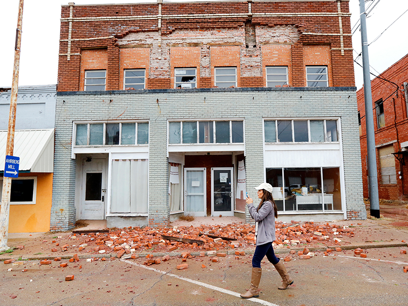
Forecasting Seismicity from Wastewater Disposal in Oklahoma
Mandated wastewater injection reductions in effect since 2016 are inadequate for preventing future, large-magnitude earthquakes in the state, according to a new induced seismicity model.
Posted inNews
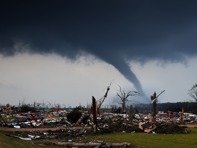
Westward Expansion, Technology, and Tornado Fatalities
By mining records from 1808 to 2017, researchers can now show just how many lives have likely been saved by technology like radar.
Posted inEditors' Highlights
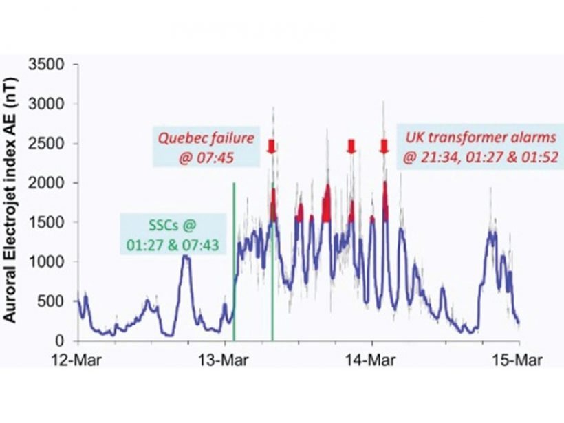
Assessing the Benefits of Improved Space Weather Forecasting
A new framework assesses the economic impact of space weather on power distribution networks and the supply of electricity.
Posted inScience Updates
Bridging the Weather-to-Climate Prediction Gap
A task force of researchers set out to bridge the gap between the 2-week weather forecast and long-term climate predictions; their findings could help in forecasting the likelihood of extreme events.

Posted inScience Updates
Subseasonal to Decadal Predictions: Successes and Challenges
International Conferences on Subseasonal to Decadal Prediction; Boulder, Colorado, 17–21 September 2018

Posted inScience Updates
Challenges and Opportunities in Coastal Prediction
Mooers Coastal Ocean and Atmosphere Prediction Workshop; Mount Hood, Oregon, 15 September 2018