
Scientists have little understanding of where magma is stored along the Cascade Volcanic Arc or how its volcanoes could affect population centers.
forecasting

Posted inResearch Spotlights
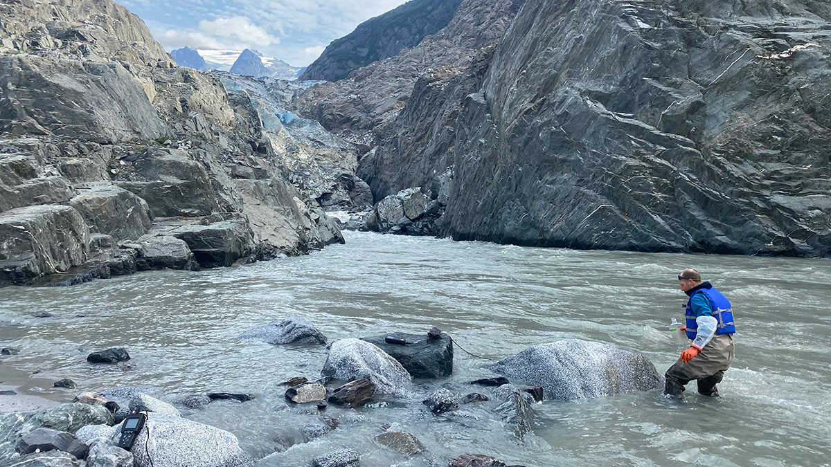
Measuring Carbon’s Flow from Land to Sea
A new study catalogs how dissolved inorganic carbon moves through southeast Alaska’s waterways.
Posted inResearch Spotlights
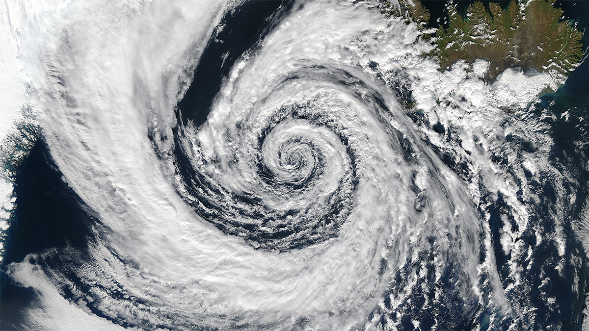
AI Meets Its Match: The Butterfly Effect
Artificial intelligence algorithms fail to account for a key limitation in weather prediction.

Posted inResearch Spotlights
Exploring Just How Extreme Future Storms Could Get
A novel approach to storm simulations could help prepare for increasingly heavy precipitation events.
Posted inNews
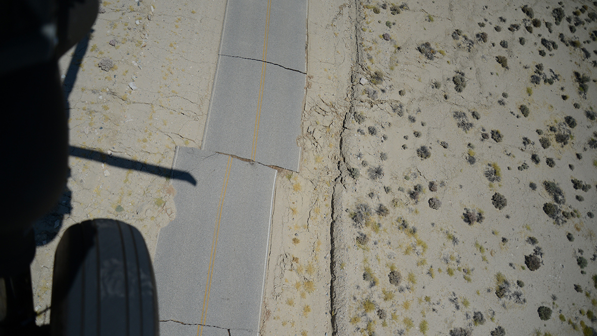
Global Earthquake Analysis Seeks Elusive Foreshock Signal
Spotting foreshocks for what they are could help seismologists forecast large earthquakes.

Posted inNews
La ciudad colombiana que está abriendo el camino para las “Alertas Tempranas para Todos”
Medellín alerta a sus habitantes sobre inundaciones, deslizamientos, incendios, rayos y mala calidad del aire.
Posted inFeatures
WMO Weathered the Cold War, but Can It Survive Capitalism?
After 150 years of international cooperation, meteorology’s “vast machine” is adapting to private weather forecasting.
Posted inNews
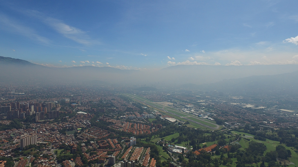
Colombian City Pioneers Path to “Early Warnings for All”
Medellín alerts citizens to floods, landslides, fires, lightning, and poor air quality.
Posted inNews
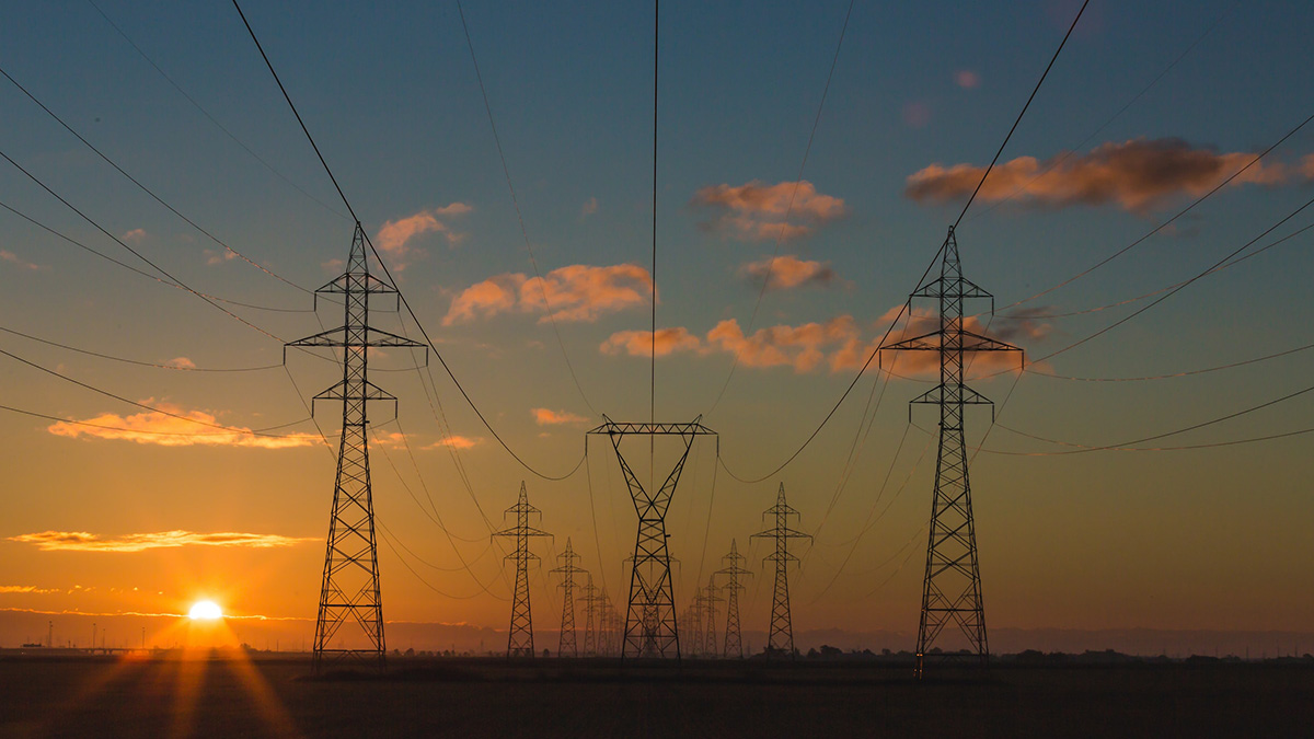
Summer Heat Waves Could Cause Blackouts Across the Country
Higher than normal temps could strain grids that are not used to unprecedented heat waves.