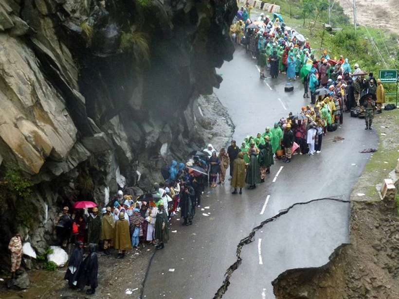
A new study finds that including Himalayan topography and land-atmosphere interactions improves climate models.
Geophysical Research Letters

Posted inResearch Spotlights
Tailoring Aerosol Injections to Achieve Desired Climate Effects
Two-dimensional simulations of sulfate aerosol injections suggest that solar geoengineering projects can be customized to maximize solar reflection and help achieve potential climate objectives.

Posted inResearch Spotlights
Scientists Discover New Ocean Current off Madagascar
The warm and salty Southwest Madagascar Coastal Current influences upwelling that supports rich marine ecosystems along the southern coast.
Posted inEditors' Highlights
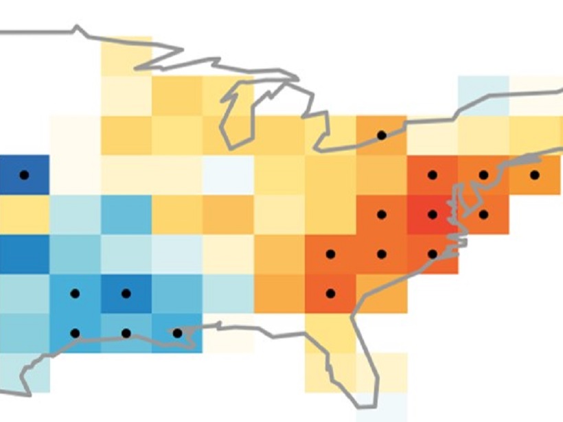
The Long Reach of El Niño’s Broom
Both the El Niño Southern Oscillation and natural variations in tropical Pacific weather conditions impact surface air quality in the Eastern United States.
Posted inResearch Spotlights
Next-Generation Climate Models Could Learn, Improve on the Fly
Scientists propose development of new models that use machine learning techniques to reduce uncertainties in climate predictions.

Posted inResearch Spotlights
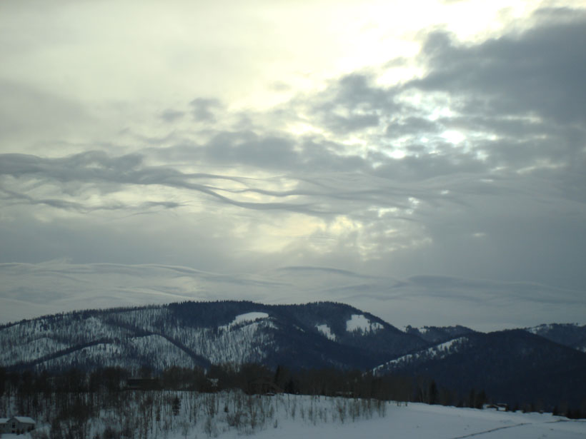
Sea Ice Loss Suppresses Some Effects of Climate Change
Polar amplification could counteract weather patterns shifting toward the poles.

Posted inResearch Spotlights
Modeling Storm Evolution
A “moist shell” makes all the difference in how some storms evolve.
Posted inResearch Spotlights
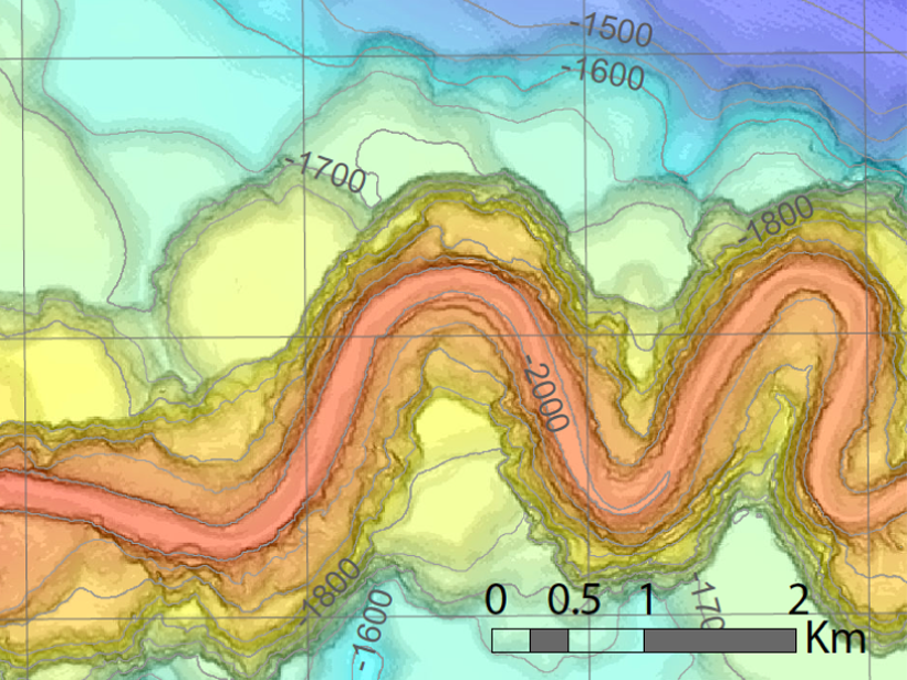
How Do Deep-Sea Gravity Currents Transport Sediment So Far?
The first field measurements of turbidity currents flowing around submarine channel bends indicate spiral flow plays a key role in keeping sediment suspended for hundreds of kilometers.

Posted inResearch Spotlights
Measuring Hurricane Wind Speed from Space
A new technique based on GPS signals could provide better wind speed measurements during hurricanes and cyclones.
Posted inResearch Spotlights
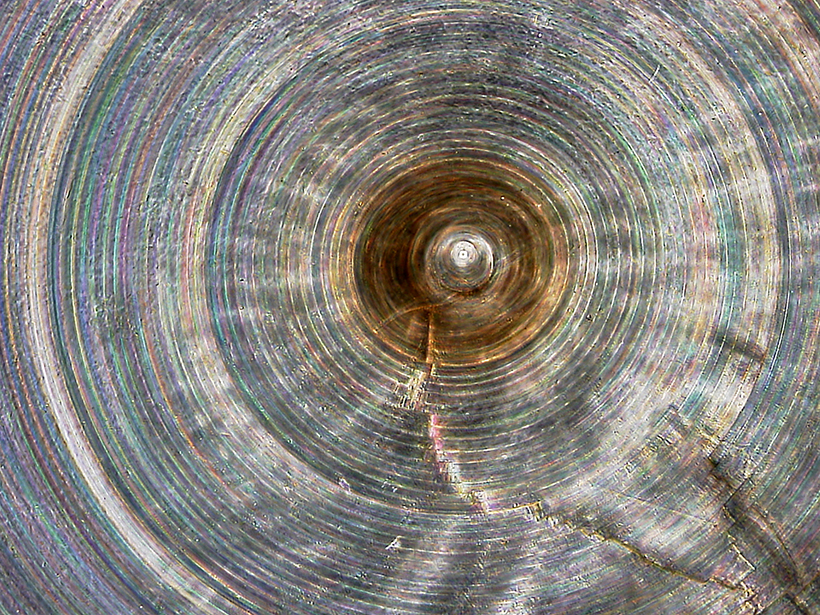
One of World’s Oldest Animals Records Ocean Climate Change
Researchers probe millennia-old deep-ocean sponges for links between ocean nutrients and climate.