
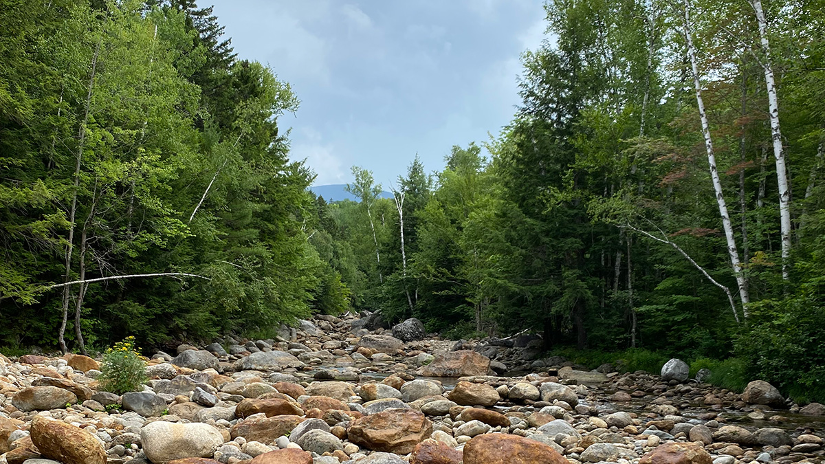
A new study reports that streamflow drought is getting more intense in some parts of the United States, a phenomenon that is stressing the nation’s water policy and infrastructure.
Hazards & Disasters
Posted inEditors' Highlights
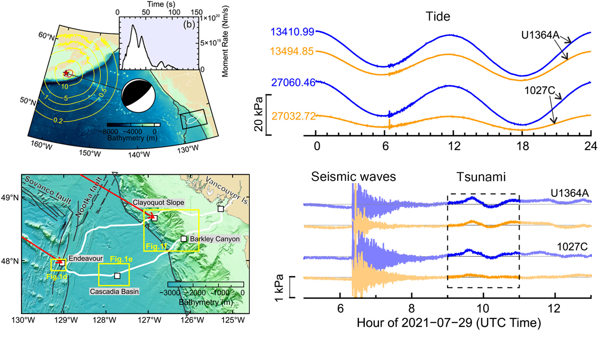
Under Pressure: Recording Earthquakes at and Below the Seafloor
Cabled ocean-floor observatories record ground shaking and pressure variations, which contribute to early warning systems and give us a unique view of the ocean–crust coupling.

Posted inResearch Spotlights
A Better Operational Lava Flow Model
By segmenting the vertical structure of a lava flow, the Lava2d model provides more realism to operational lava forecasts.
Posted inEditors' Highlights
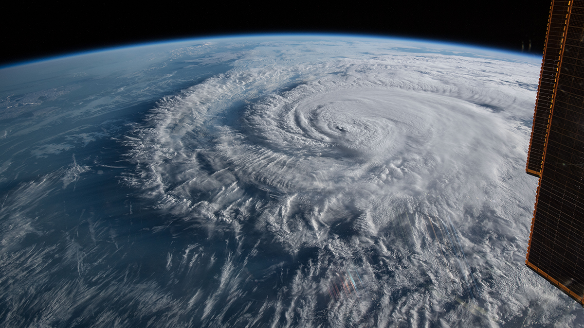
What is the Best Predictor of Landfalling Hurricane Damage?
A new study finds that the minimum sea level pressure, as another measure of hurricane strength, is a better predictor of hurricane damage in the United States than the maximum sustained wind speed.
Posted inResearch Spotlights
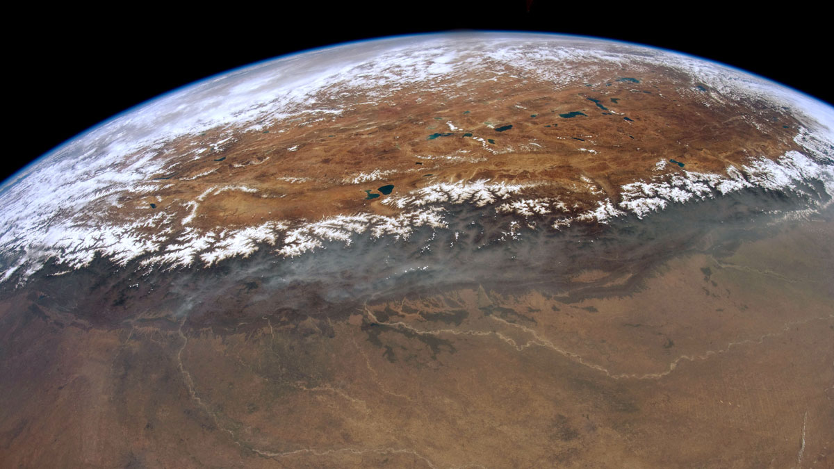
研究揭示尼泊尔西部喜马拉雅港湾状地形的形成

研究人员通过热运动学研究发现,沿着板块汇聚界面大型逆冲断层在中下部地壳深处的地壳物质堆叠塑造了高原的生长和区域水系的发育。
Posted inNews
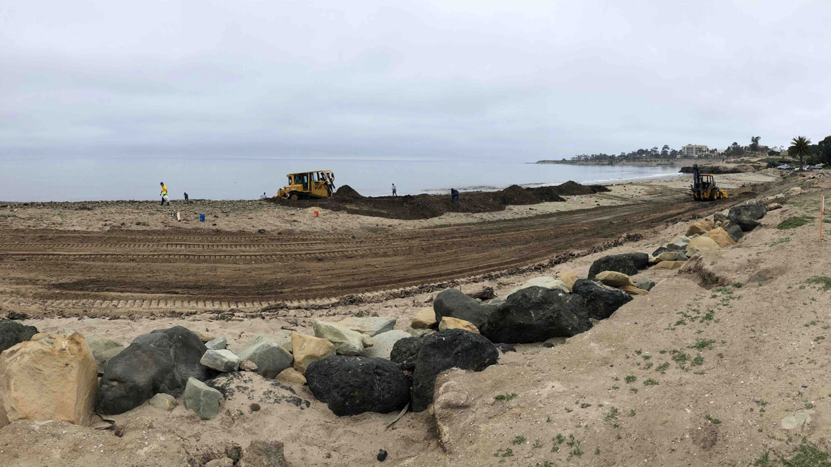
Managing Mudslide Debris After Fires
California officials faced a conundrum in dealing with mudslides after the Thomas Fire.
Posted inEditors' Highlights
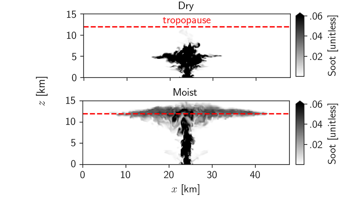
How Can Nuclear Plumes Reach the Stratosphere?
A new study shows how moist convection can lift sooty air from firestorms to the stratosphere, potentially leading to a nuclear winter.
Posted inENGAGE, News
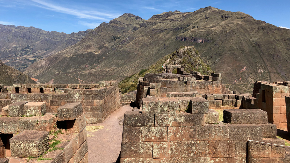
Grabado en piedra: edificios incas guardan el registro de terremotos antiguos
Daños a los edificios incas en Cusco revelan una historia de terremotos olvidada que podría ayudar a científicos a entender riesgos sísmicos modernos.

Posted inEditors' Highlights
A Really Big (Global) Splash at Chicxulub
What caused a tsunami 30,000 times more powerful than the December 26, 2004 Indian Ocean tsunami? A new modeling study says this was one of the results from the Cretaceous Chicxulub asteroid impact.
Posted inFeatures
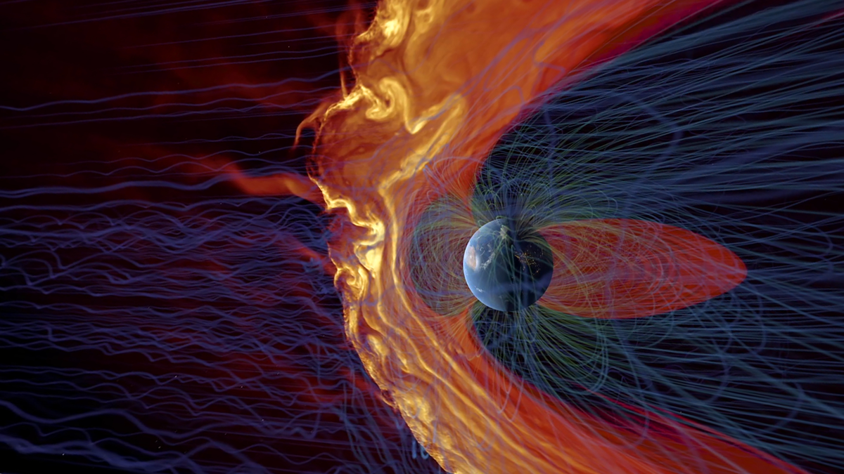
Space Raindrops Splashing on Earth’s Magnetic Umbrella
Though not as damaging as extreme space weather events, showers of plasma jets hit Earth’s magnetic shield every day—yet we’re only beginning to understand their effects.