
Researchers developed a new timeline for the rise, fall, and rise again of a puzzling island in the Azores.
islands
Posted inScience Updates
Closing the Pacific Rainfall Data Void
A new climatology tool uses satellite data to map precipitation in a data-sparse region of the Pacific Ocean.
Posted inResearch Spotlights
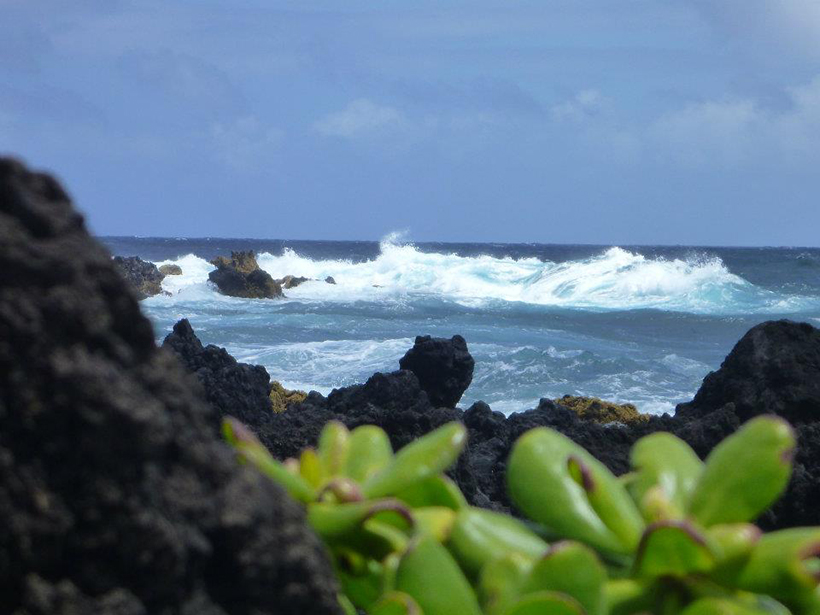
A Hole in Earth’s Surface
Research shows that a broken lithosphere underneath the island of Hawai'i could explain the island's patterns of seismic activity.

Posted inScience Updates
Investigations of Shallow Slow Slip Offshore of New Zealand
Recent and upcoming studies of the Hikurangi margin east of New Zealand shed light on previously undetectable tectonic movements.
Posted inScience Updates
Focusing Attention on Climate Change and Pacific Island Nations
The 2014 Pan Pacific Partnership on Climate Change Adaptation; Taipei, Taiwan, 29 September to 2 October 2014

Posted inScience Updates
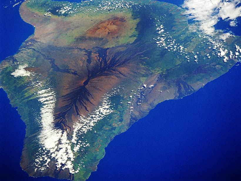
New Insights from Seafloor Mapping of a Hawaiian Marine Monument
New surveys help untangle the complex geologic history of the Hawaiian Archipelago and provide hints about where to seek marine life.

Posted inResearch Spotlights
Ancient Earthquakes Made an Island Rise and Fall
Observations track elevation changes of an island in the Kodiak Archipelago to past ruptures of the Alaska-Aleutian megathrust fault.