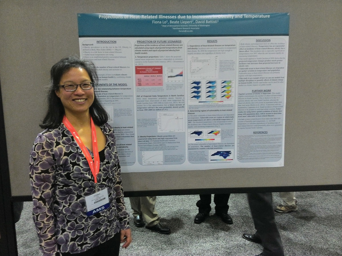
Lo uses her background in atmospheric sciences to forecast pollen concentrations.
machine learning & AI
Posted inScience Updates
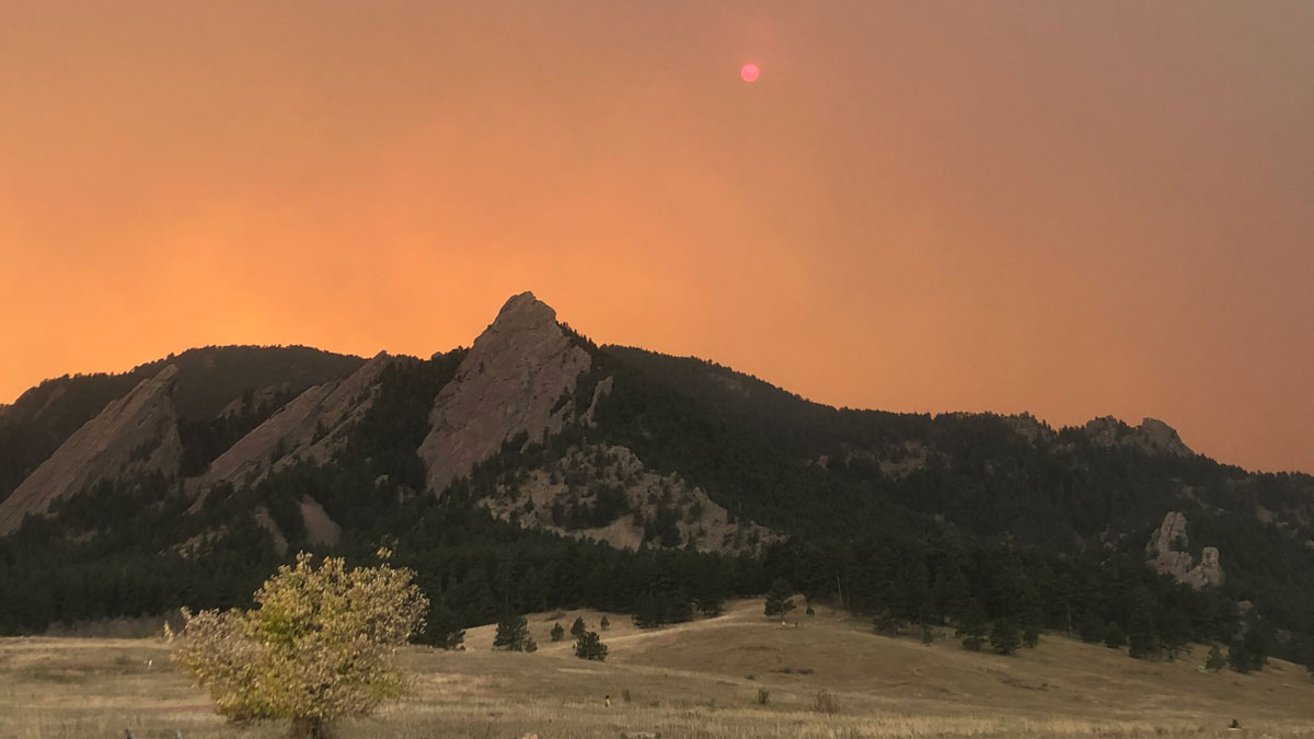
For Western Wildfires, the Immediate Past Is Prologue
A new machine learning approach trained on winter and spring climate conditions offers improved forecasts of summer fire activity across the western United States.
Posted inEditors' Vox
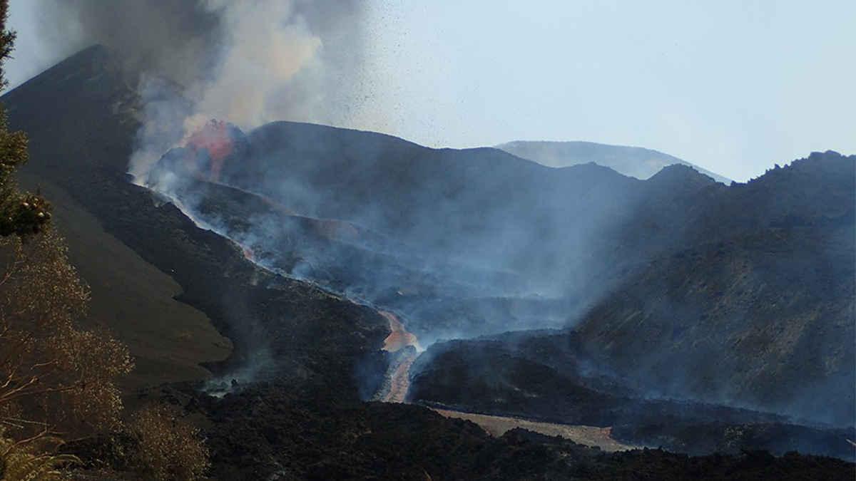
Dynamics of Volcanic Processes
A new cross-journal special collection invites contributions on modern approaches used to investigate dynamics of volcanic processes.
Posted inNews
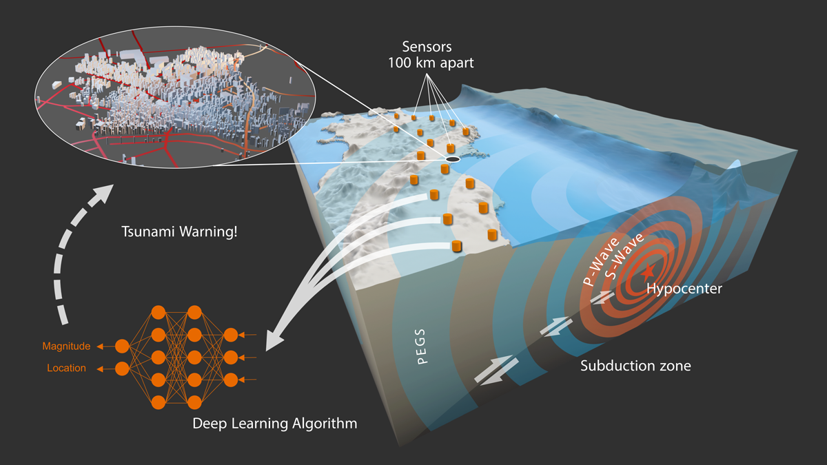
Monitoreando terremotos a la velocidad de la luz
Nueva investigación utiliza la gravedad y un modelo de aprendizaje automático para estimar instantáneamente la magnitud y ubicación de grandes terremotos.

Posted inResearch Spotlights
Despite Improvements, China’s Air Remains Unsafe
Toxic particulate matter has decreased by about a third over the past decade, but levels are still above what’s considered healthy.

Posted inEditors' Highlights
Learning from Climate Simulations for Global Seasonal Forecast
A probabilistic deep learning methodology that learns from climate simulation big data offers advantageous seasonal forecasting skill and crucial climate model diagnosis information at a global scale.

Posted inResearch Spotlights
Algorithm Detects Thousands of Missing Levees from U.S. Database
An existing levee database accounts for just one fifth of the country’s actual total levee count, limiting the study of how these embankments affect riparian ecosystem health in the United States.

Posted inEditors' Vox
The Big Data Revolution Unlocks New Opportunities for Seismology
The field of seismology is entering a new era where our understanding of earthquakes and the solid earth is increasingly driven by new Big Data experiments and algorithms.
Posted inEditors' Highlights
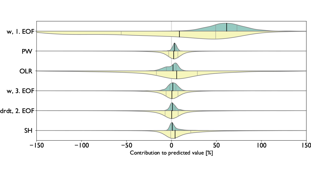
Using Artificial Intelligence to Study Convection
Machine learning techniques are used to examine relationships between the large-scale state of the atmosphere, the convection total area, and the degree of organization in northern Australia.

Posted inNews
Monitoring Earthquakes at the Speed of Light
New research uses gravity and a machine learning model to instantaneously estimate the magnitude and location of large earthquakes.