
From 1992 to 2019, 600,000 square kilometers of natural floodplains were lost globally due to land conversion.
mapping

Posted inNews
Where the Ground Gives Way
Sinkholes are a significant hazard, but where are they most likely to happen? A new study identifies hot spots in the contiguous United States.
Posted inENGAGE, News
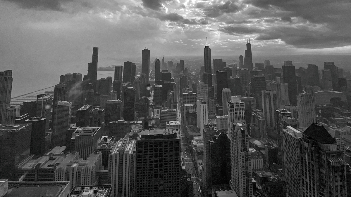
Underground Heat Could Be a Problem, or a Perk, for Chicago Buildings
Heat released by old and inefficient Chicago buildings could, if harnessed, be an energy solution.
Posted inNews
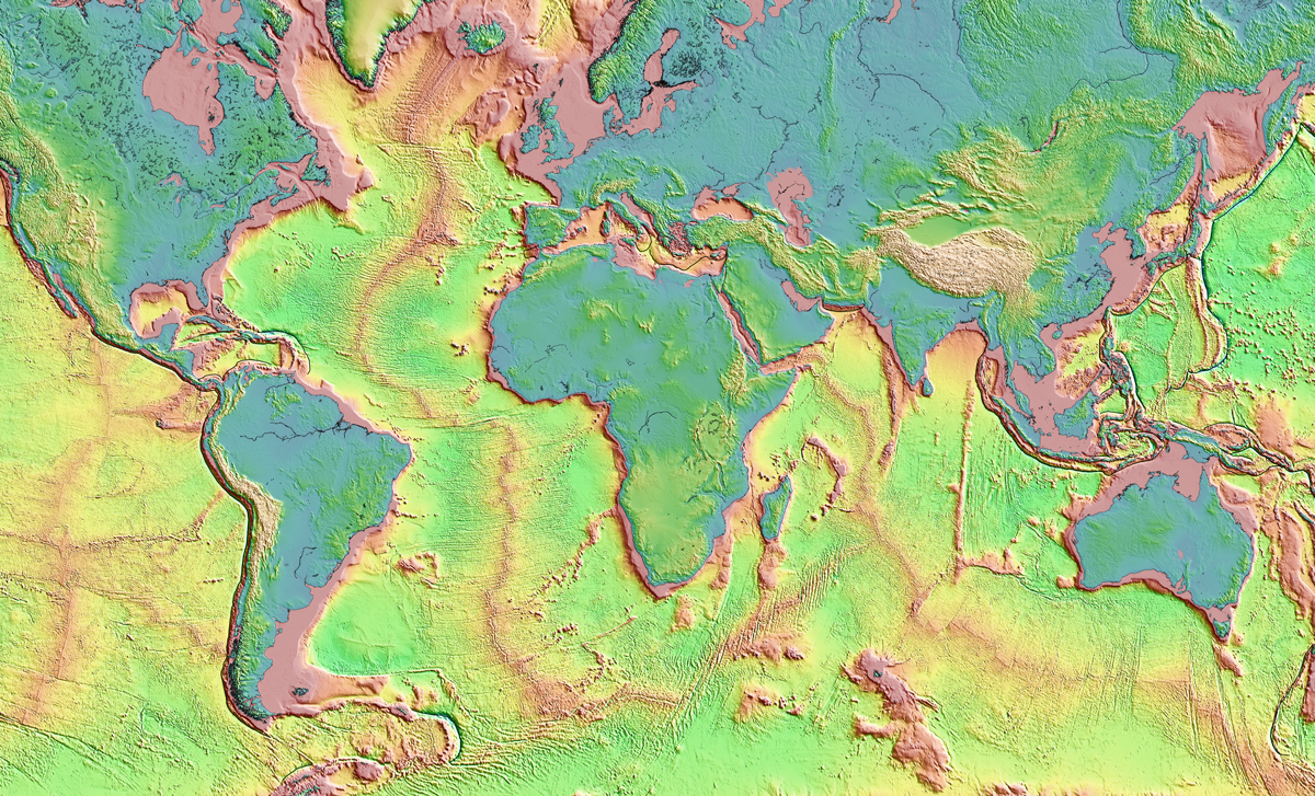
A New, Underground Atlas of Subduction Zones
Submap merges graphic design with geodynamics, providing a fast, free, and user-friendly resource to map subduction zones.

Posted inFeatures
Cee Nell: Making Data Visual
Nell turns vast columns of data into beautiful and understandable graphics.
Posted inNews
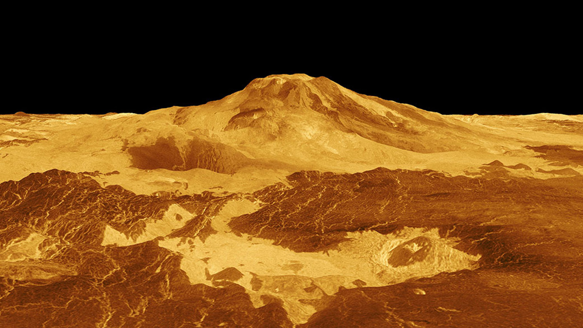
Active Volcanoes on Venus?
With a new look at old imagery, scientists may have found evidence of volcanic activity on Venus.

Posted inNews
Mapping Wetland Loss Across Three Centuries
Millions of square kilometers of wetlands have been drained or converted to make room for crops, pastures, or development. In some places, up to 80% are gone.
Posted inResearch Spotlights
Mapping the Fizzy Brines and Fluid-Filled Fractures Below a Volcano
Seismic tools reveal where hydrothermal fluids lie beneath the Uturuncu volcano in Bolivia and hint at their composition.

Posted inResearch Spotlights
Lagos longevos cuentan una historia sobre el agua en Marte
Imágenes de alta resolución de paleolagos recientemente descubiertos en Marte demuestran un período de su historia con flujo de agua constante.

Posted inResearch Spotlights
Scientists Can Now Map Lightning in 3D
A new approach enables meter-scale localization of lightning strikes. And it’s already illuminating the basic physics of the phenomenon.