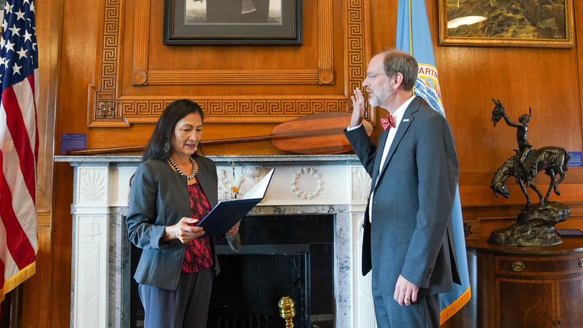
The new director hopes to strengthen existing partnerships, build and retain a more diverse and inclusive workforce, and deliver the agency’s science to those who need it most.
mapping
Posted inNews
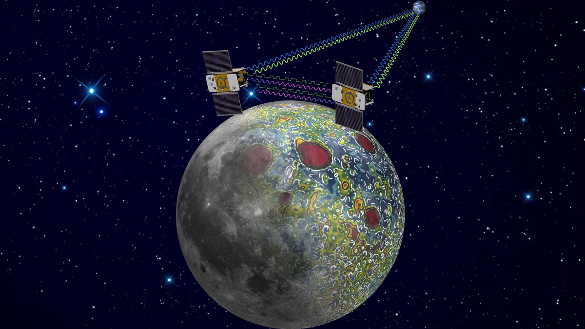
Moon’s Porosity Changes Cratering History, Study Says
Gravity field measurements from decade-old lunar orbiter provide a proxy for counting craters.

Posted inNews
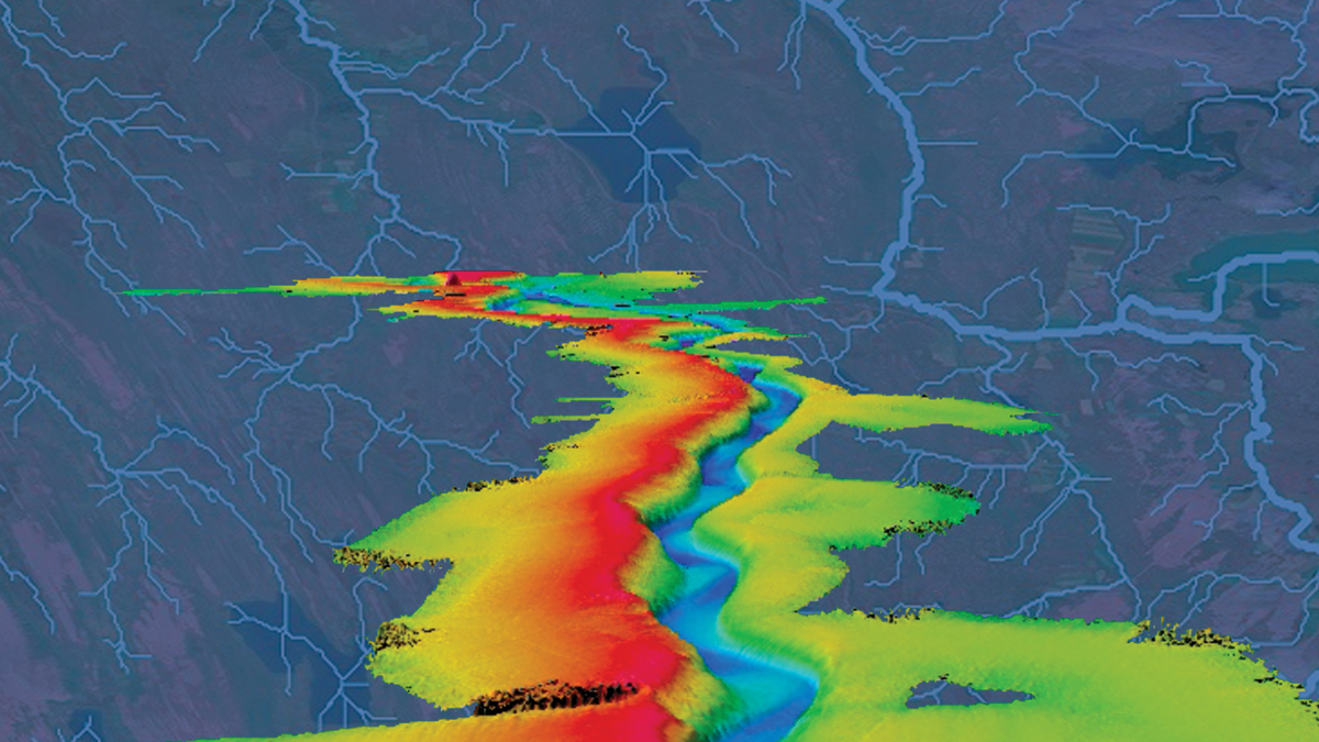
Satellite Images Reveal a New View of Ancient Earth’s Rivers
A new method shows a key relationship between the width and makeup of Earth’s river channels over time. The technique could be applied to other terrestrial bodies, such as Mars.

Posted inEditors' Highlights
Community Scientists Help to Beat the Heat
As cities face health threats from heat and air pollution—both expected to worsen from climate change—researchers pilot a community scientist effort to map air quality and improve urban health.
Posted inNews
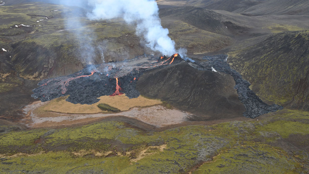
Mapping a Volcanic Eruption in the Backyard of Iceland’s Capital
Researchers used satellites and aerial data to create regularly updated maps of the Fagradalsfjall eruption for both the public and disaster response agencies.
Posted inAGU News
Charting Paths to New Knowledge
In our June issue of Eos, we home in on the unique ways researchers are using maps to better understand Earth and beyond.
Posted inEditors' Highlights
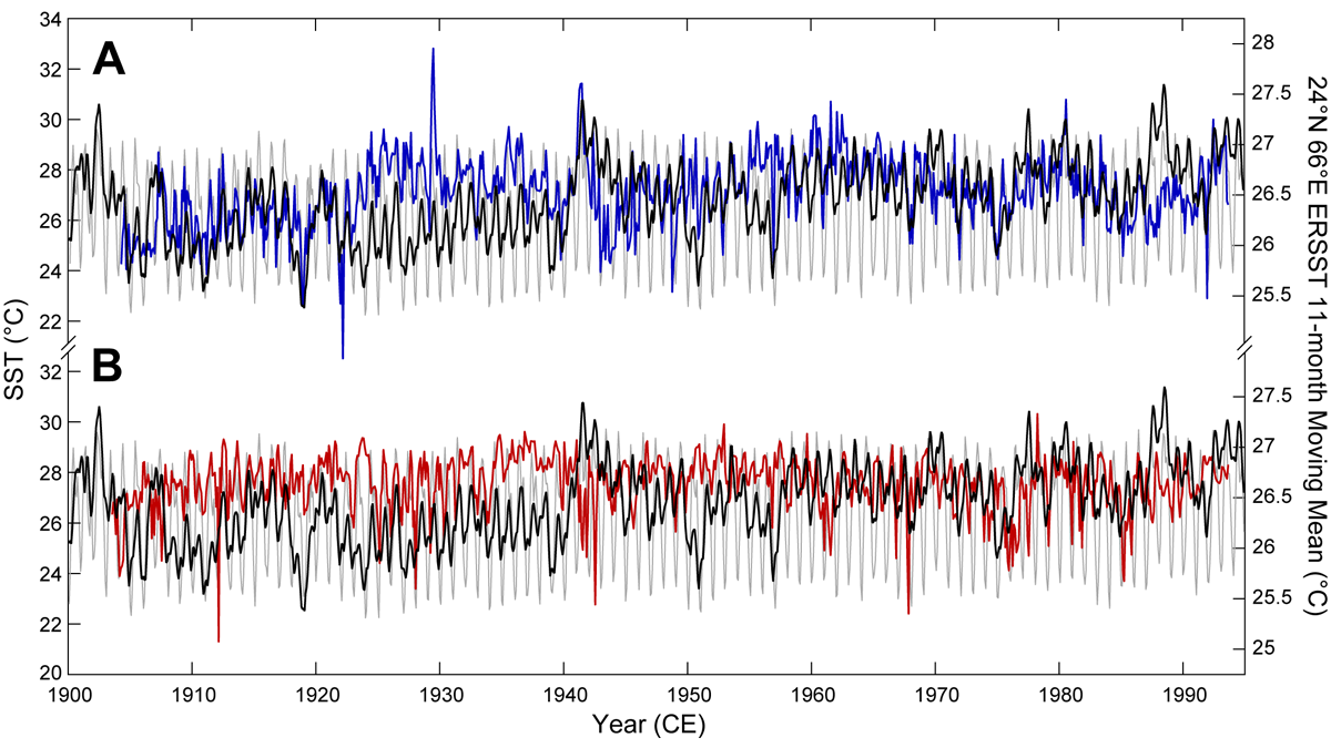
Unlocking Ultra-High-Resolution Paleothermometry from Sediments
Mass spectrometric imaging techniques used to extract micron-scale organic paleothermometry signatures from Arabian Sea sediments show that they skillfully reflect observations.

Posted inNews
Groundwater Flow May Contribute to Submarine Permafrost Thaw
New, detailed surveys from the Beaufort Sea reveal a seafloor depression the size of a city block associated with permafrost thaw and likely influenced by the movement of groundwater below.
Posted inNews
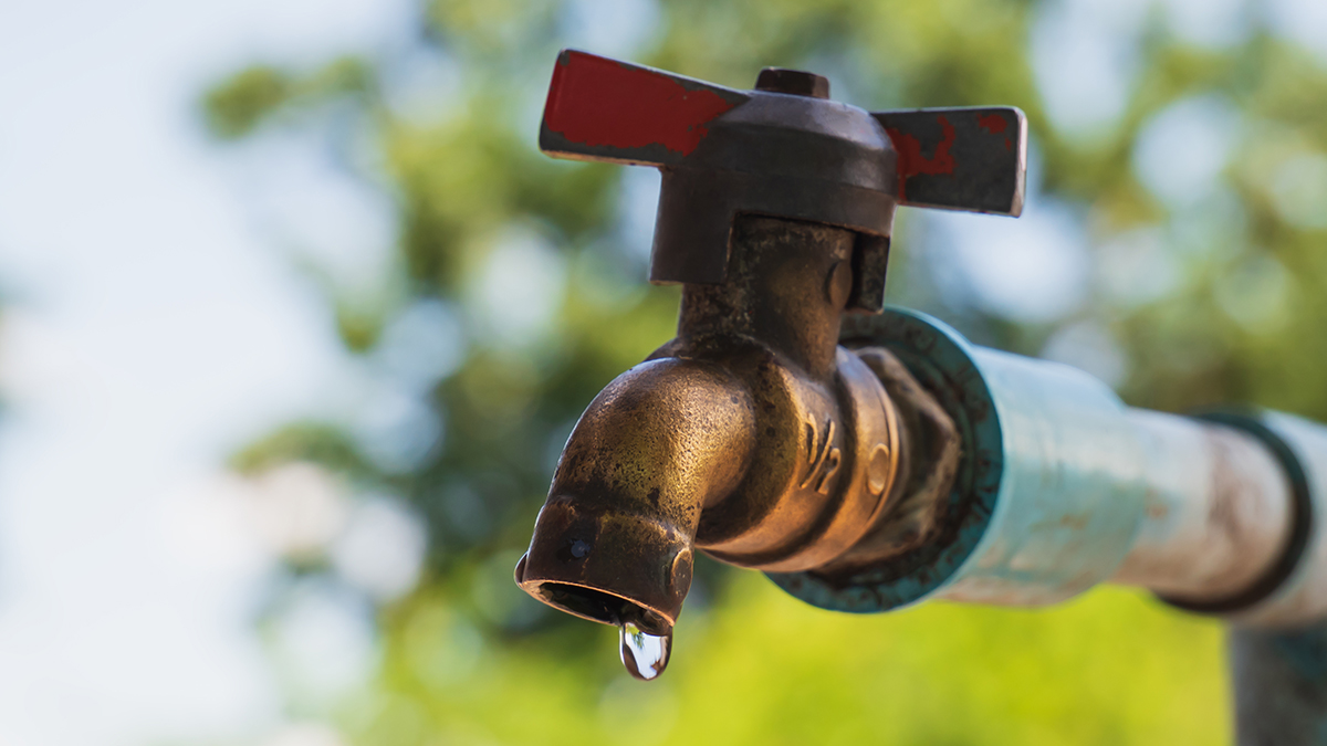
Uranium Detected in Latinx Communities’ Water Systems
The unsafe contaminant levels could not be attributed to differences in regional geology, water source, or community size. Researchers suggest they are due to a failure of regulatory policy.

Posted inScience Updates
A Sharper Look at the World’s Rivers and Catchments
Digital hydrographic maps have transformed global environmental studies and resource management. A major database update will provide even clearer and more complete views of Earth’s waterways.