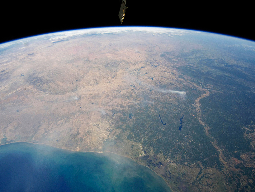
• About
  • Special Reports
  • Topics
    • Climate
    • Earth Science
    • Oceans
    • Space & Planets
    • Health & Ecosystems
    • Culture & Policy
    • Education & Careers
    • Opinions
  • Projects
    • Postcards From the Field
    • ENGAGE
    • Editors’ Highlights
    • Editors’ Vox
    • Eos en Español
    • Eos 简体中文版
    • Print Archive: 2015–2025
  • Policy Tracker
  • Blogs
    • Research & Developments
    • The Landslide Blog
  • Newsletter
  • Submit to Eos
  • AGU.org
  • Career Center
  • Join AGU
  • Give to AGU
  • About
  • Special Reports
  • Topics
    • Climate
    • Earth Science
    • Oceans
    • Space & Planets
    • Health & Ecosystems
    • Culture & Policy
    • Education & Careers
    • Opinions
  • Projects
    • Postcards From the Field
    • ENGAGE
    • Editors’ Highlights
    • Editors’ Vox
    • Eos en Español
    • Eos 简体中文版
    • Print Archive: 2015–2025
  • Policy Tracker
  • Blogs
    • Research & Developments
    • The Landslide Blog
  • Newsletter
  • Submit to Eos
Skip to content
  • AGU.org
  • Career Center
  • Join AGU
  • Give to AGU
Eos

Eos

Science News by AGU

Support Eos
Sign Up for Newsletter
  • About
  • Special Reports
  • Topics
    • Climate
    • Earth Science
    • Oceans
    • Space & Planets
    • Health & Ecosystems
    • Culture & Policy
    • Education & Careers
    • Opinions
  • Projects
    • Postcards From the Field
    • ENGAGE
    • Editors’ Highlights
    • Editors’ Vox
    • Eos en Español
    • Eos 简体中文版
    • Print Archive: 2015–2025
  • Policy Tracker
  • Blogs
    • Research & Developments
    • The Landslide Blog
  • Newsletter
  • Submit to Eos

mapping

Posted inScience Updates

Teaching the Integration of Geography and Atmospheric Sciences

by J. Boehnert, J. G. Dobson and O. Wilhelmi 25 February 20167 March 2023

Atmospheric scientists spent a decade incorporating geographic information systems into their research and operations. Now it is time to incorporate GIS into atmospheric science education.

Posted inNews

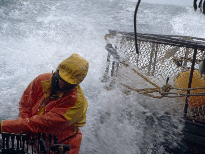
USGS Budget Plan to Advance Earth Observations, Hazards Measures

by Randy Showstack 24 February 201625 April 2023

The request for across-the-board increases in fiscal year 2017 also seeks to improve water monitoring and terrain mapping, downsize infrastructure, and grow operations in support of scientific work.

Posted inResearch Spotlights

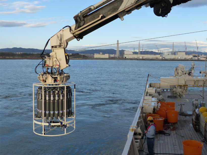
Tracking Radioactive Cesium Released During Fukushima Disaster

by David Shultz 23 February 201621 February 2023

Scientists probe the Pacific to determine how far the damage from one of the largest nuclear meltdowns in history extends.

Posted inScience Updates

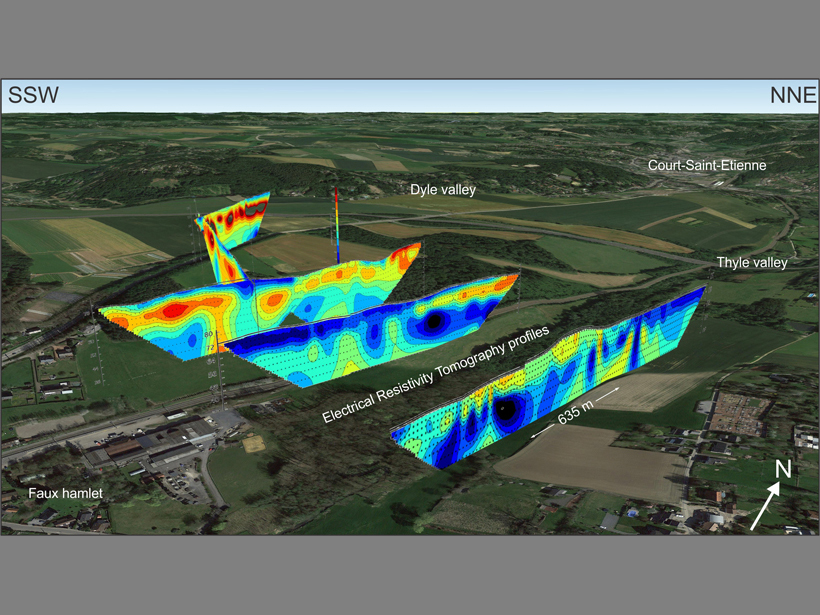
Visualizing Cross-Sectional Data in a Real-World Context

by K. Van Noten 2 February 201622 August 2022

Combining the capabilities of an open-source drawing tool with Google Earth maps allows researchers to visualize real-world cross-sectional data in three dimensions.

Posted inScience Updates

Sounding the Northern Seas

by S. L. Danielson, E. L. Dobbins, M. Jakobsson, M. A. Johnson, T. J. Weingartner, W. J. Williams and Y. Zarayskaya 29 December 201514 January 2022

A new compilation of underwater terrain provides the most up-to-date mapping of portions of the western Arctic and North Pacific.

Posted inNews

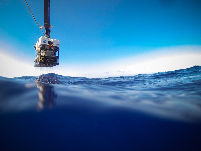
Autonomous Undersea Technologies to Vie for New XPRIZE

JoAnna Wendel, freelance science writer and illustrator by JoAnna Wendel 14 December 201531 March 2022

The competition aims at improved health and understanding of Earth's oceans by spurring teams to devise better robotic technologies for seafloor mapping and exploration.

Posted inNews

Laser Beams Brighten Prospects for Cave Science

JoAnna Wendel, freelance science writer and illustrator by JoAnna Wendel 7 December 201511 February 2022

Armed with laser technology, scientists now plot and study vivid maps of underground spaces with stunning accuracy. But the equipment is costly, fragile, and hard to maneuver through tight passages.

Posted inResearch Spotlights

Hydraulic Fracturing Water Use Is Tied to Environmental Impact

by L. Strelich 4 November 20159 February 2023

New map identifies varying water usage in hydraulic drilling operations across the United States and what this means for potential environmental impacts.

Posted inScience Updates

A Weather Eye on Coastal Winds

by F. M. Monaldo, C. R. Jackson, W. G. Pichel and X. Li 1 September 201514 January 2022

New satellite radar image-processing system provides wind speed maps with an unprecedented degree of precision. Such maps will help coastal communities prepare for wind-related hazards.

Posted inScience Updates

New Insights from Seafloor Mapping of a Hawaiian Marine Monument

by C. Kelley, J. R. Smith, J. Miller, J. Tree, B. Boston, M. Garcia, G. Ito, J. Taylor, F. Lichowski, D. Wagner, J. Leonard, B. Dechnik and D. Leurs 28 May 201512 January 2023

New surveys help untangle the complex geologic history of the Hawaiian Archipelago and provide hints about where to seek marine life.

Posts pagination

Newer posts 1 … 21 22 23 24 Older posts
Over a dark blue-green square appear the words Special Report: The State of the Science 1 Year On.

Features from AGU Publications

Research Spotlights

As Wildfires Increase in the West, So Does Suppression Spending

10 June 202610 June 2026
Editors' Highlights

A Snapshot of Continental Crust in the Making

17 June 202616 June 2026
Editors' Vox

Small-Scale Indian Ocean Dynamics Underpin Marine Ecology and Climate

4 June 20263 June 2026
Eos logo at left; AGU logo at right

About Eos
ENGAGE
Awards
Contact

Advertise
Submit
Career Center
Sitemap

© 2026 American Geophysical Union. All rights reserved Powered by Newspack