Variations in Earth’s magnetic field can induce electric fields in the ground, driving damaging currents through our power grids.
mapping
Posted inNews
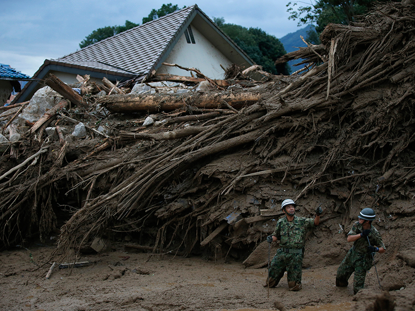
Tracking Landslide Hazards Around the World, Pixel by Pixel
Combining satellite precipitation measurements and remotely sensed environmental data, a new system aims to improve landslide awareness and preparedness in all corners of the globe.
Posted inNews
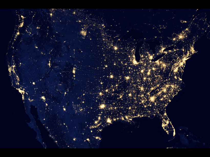
New Digital Maps Depict Alaska in Unprecedented Detail
The Obama administration plans to release high-resolution terrain models in 2017 for the entire Arctic.

Posted inResearch Spotlights
Mapping the Movement of Energy Under Japan
New research on the energy waves caused by earthquakes provides the most detailed map to date of the subduction zone beneath Japan.

Posted inScience Updates
Charting Ice Sheet Contributions to Global Sea Level Rise
An international team produced an integrated assessment of polar ice mass losses in 2012. Now efforts to provide an up-to-date assessment are under way, with an open invitation for participation.

Posted inScience Updates
Closing the Pacific Rainfall Data Void
A new climatology tool uses satellite data to map precipitation in a data-sparse region of the Pacific Ocean.

Posted inScience Updates
Making a Better Magnetic Map
A new version of the World Digital Magnetic Anomaly Map, released last summer, gives greater insight into the structure and history of Earth's crust and upper mantle.
Posted inScience Updates
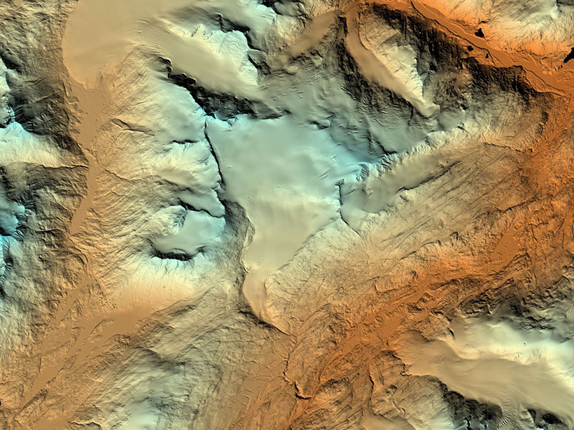
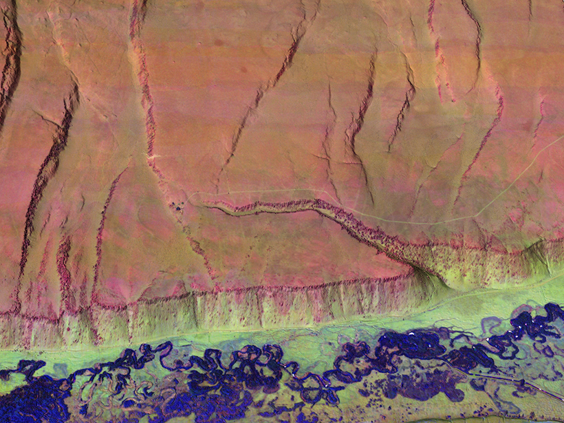
Multicolor Terrain Mapping Documents Critical Environments
The Titan airborne topographic laser system takes spatial and spectral data at three wavelengths at once, mapping threats from climate change and ecological disasters in regions with complex terrain.
Posted inResearch Spotlights
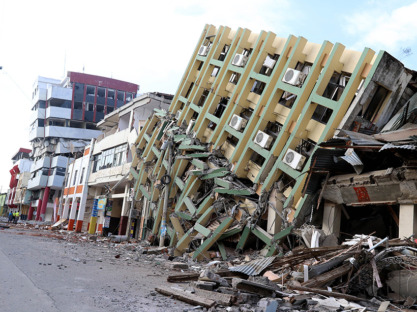
A New View of the Plate Dynamics Behind Earthquakes in Ecuador
Scientists get one step closer to an updated seismic hazard map that could help Ecuador prepare for future tremors.

Posted inNews
Space Telescope Findings Suggest Molten Planetary Surface
Researchers studying the super-Earth 55 Cancri e spotted some puzzling features that provide a new vision of the orb's surface.