Source: Journal of Advances in Modeling Earth Systems
Aerosols are small particles suspended in our atmosphere. They come in many flavors: Wildfire smoke, pollen, desert dust, sea salt lofted by powerful storms, volcanic sulfates, and emissions from engines and industrial processes are all examples.
Aerosols affect visibility and human health, and they play a key role in weather and climate forecasting. They can reflect or absorb sunlight—with heating or cooling effects—and act as collection points for water molecules to form clouds. They can travel long distances through different layers of the atmosphere and across continents and oceans.
However, the wide-ranging and complex properties and effects of aerosols make it difficult to simulate their distribution and movement, contributing to uncertainty in weather and climate modeling. Zhang et al. now present a novel, computationally efficient method for incorporating satellite observations of radiance directly into aerosol simulations, thereby improving their accuracy.
Satellites can track aerosols by detecting sunlight reflected by the particles, and these observations have long been used to power aerosol simulations. However, directly incorporating raw, visible-wavelength and infrared satellite observations into aerosol simulations has historically required too much computational power to be practical. Instead, simulations typically use preprocessed satellite data that indirectly capture aerosol properties. Though this standard approach is efficient, it results in less accurate predictions.
With the new method, satellite data can be directly incorporated into aerosol simulations far more efficiently. Key to this approach is a novel artificial intelligence (AI) component that has been pretrained on a large dataset and can quickly parse how satellite observations are influenced by the combined effects of aerosols and sunlight reflected from Earth’s surface.
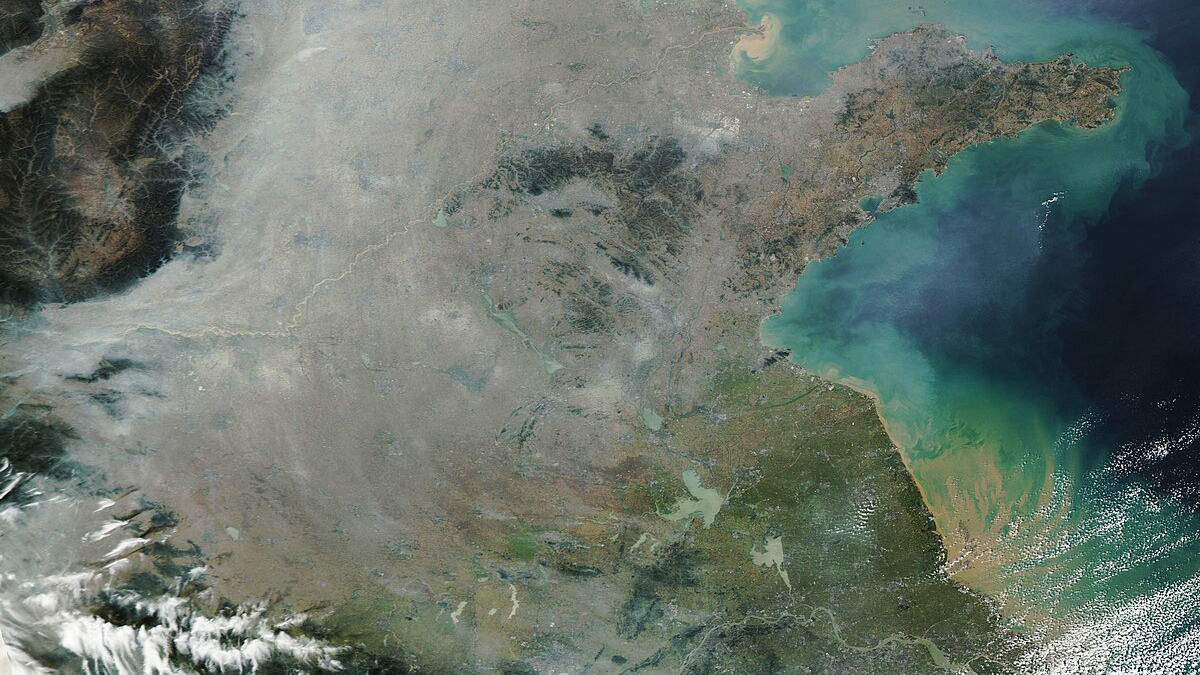
When the researchers tested aerosol predictions generated by the new method against real-world satellite observations in China, the new approach reduced prediction errors by about 50% compared to aerosol simulations. The findings suggest the technique may serve as a computationally feasible way to improve aerosol simulations and, in turn, boost the accuracy of weather and climate predictions. (Journal of Advances in Modeling Earth Systems, https://doi.org/10.1029/2026MS005846, 2026)
—Sarah Stanley, Science Writer