
With higher education increasingly moving online, a 3-year-old interinstitutional graduate student training program offers a model for universities to pool resources and expand course offerings.
Science Updates

Posted inScience Updates
A Pandemic Pivot in Earth Science Outreach and Education
For some educators, restrictions imposed by COVID-19 created space for innovation and affirmed the value of online tools and learning environments for increasing access to and engagement with science.
Posted inScience Updates
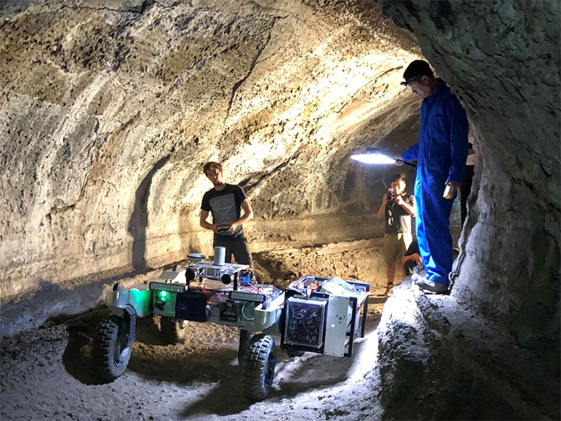
Planetary Cave Exploration Progresses
Terrestrial caves offer scientific and engineering insights and serve as testing grounds for future forays by humans and robots into caves on other worlds.

Posted inScience Updates
By Land or Sea: How Did Mammals Get to the Caribbean Islands?
A multidisciplinary team is jointly investigating mammal evolution and subduction dynamics to unravel how flightless land mammals migrated to the Greater Antilles and other Caribbean islands.

Posted inScience Updates
Reimagining the Colorado River by Exploring Extreme Events
Workshops exploring environmental, social, and political scenarios to prepare for negotiating new Colorado River water management guidelines took on added realism when the COVID-19 pandemic started.

Posted inScience Updates
Advancing AI for Earth Science: A Data Systems Perspective
Tackling data challenges and incorporating physics into machine learning models will help unlock the potential of artificial intelligence to answer Earth science questions.
Posted inScience Updates
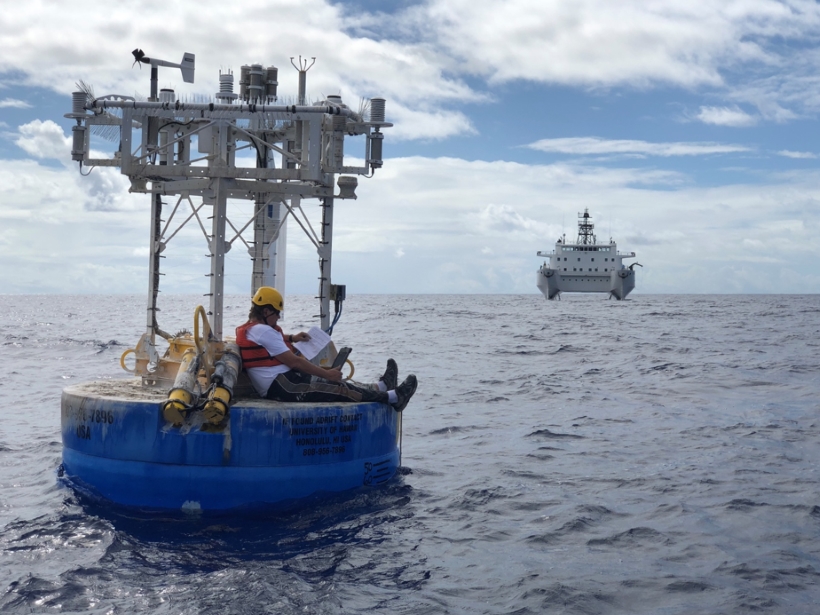
Reaching Consensus on Assessments of Ocean Acidification Trends
Scientists are working to establish a common methodology for evaluating rates of change in—and the various mechanisms that affect—acidification across ocean environments.

Posted inScience Updates
Torrential Rains and Poor Forecasts Sink Panama’s Infrastructure
Scientists are working to improve the forecasting of heavy rains in Panama following several events over the past decade that caused substantial flooding and damage.
Posted inScience Updates
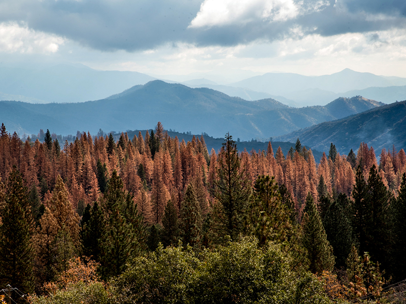
Linking Critical Zone Water Storage and Ecosystems
The geology and the structure of Earth’s critical zone control subsurface moisture storage potential and determine the resilience of forest and river ecosystems to drought.
Posted inScience Updates
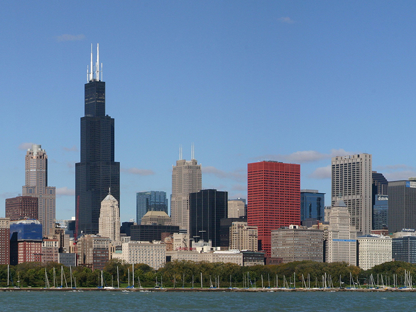
Converging on Solutions to Plan Sustainable Cities
Climate change will exacerbate the food, energy, water, health, and equity challenges that urban communities face, but cities also have opportunities to improve sustainability and outcomes.