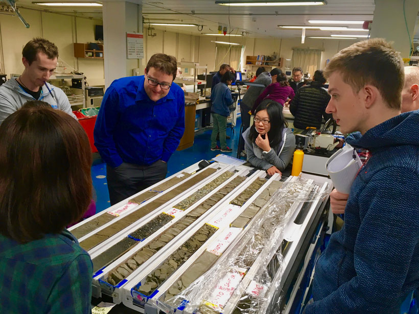
International Ocean Discovery Program Core-Log-Seismic integration at Sea (CLSI@Sea) workshop; Nankai Trough, Philippine Sea, off the coast of southwest Japan, January–February 2018
Science Updates
Posted inScience Updates
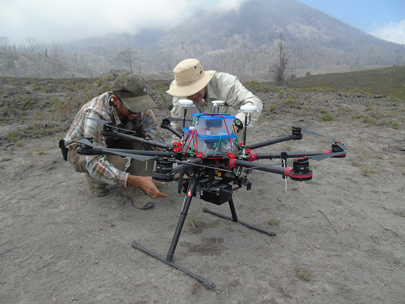
Drones Swoop in to Measure Gas Belched from Volcanoes
A team of volcanologists, chemists, physicists, and engineers from around the world test novel techniques at Central America’s two largest degassing volcanoes.
Posted inScience Updates
Connecting Students and Mentors Through Local Research Hubs
An online database can help connect prospective student researchers with university faculty members and collaborative projects that need their help. Could this model work at your university?

Posted inScience Updates
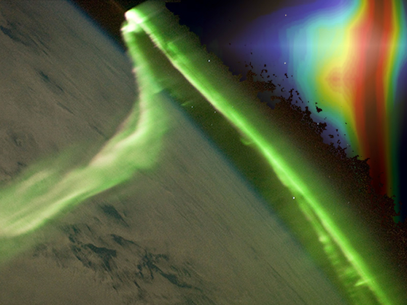
High-Energy Processes in Earth’s Atmosphere and Lightning
Thunderstorms and Elementary Particle Acceleration (TEPA-2017) Symposium; Nor Amberd, Armenia, 2–6 October 2017

Posted inScience Updates
Space Weather in the Machine Learning Era
Space Weather: A Multi-disciplinary Approach; Leiden, Netherlands, 25–29 September 2017
Posted inScience Updates
Toward Standardized Data Sets for Climate Model Experimentation
A new initiative collects, archives, and documents climate forcing data sets to support coordinated modeling activities that study past, present, and future climates.

Posted inScience Updates
Exploring the Interplay Between Ocean Eddies and the Atmosphere
Ocean Mesoscale Eddy Interactions with the Atmosphere: A CLIVAR Workshop; Portland, Oregon, 17–18 February 2018

Posted inScience Updates
Can We Crack the Climate Code of the Southern Polar Region?
The #GreatAntarcticClimateHack; La Jolla, California, 9–12 October 2017
Posted inScience Updates
Assessing the Future of Space-Based Experiments
Active Experiments in Space: Past, Present and Future; Santa Fe, New Mexico, 11–14 September 2017
Posted inScience Updates
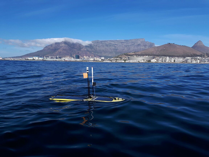
Ocean Gliders Ride the Research Wave in the Agulhas Current
Off the east coast of South Africa, robotic ocean gliders deployed in the Agulhas Current capture new data that help us better understand how energy dissipates in the ocean.