
Videos from Twitter and YouTube helped scientists tease out the physical mechanisms that generated the large tsunami in Palu Bay after a magnitude 7.5 earthquake.
landslides

Posted inNews
Seismic Noise Reveals Landslides in the Gulf of Mexico
Scientists found dozens of submarine landslides in the Gulf of Mexico, possibly triggered by remote earthquakes.
Posted inScience Updates
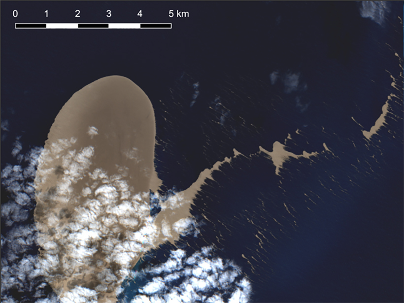
Satellite Sleuthing Detects Underwater Eruptions
Satellite data helped scientists locate the volcanic source of a pumice raft floating in the South Pacific Ocean, illustrating their promise in locating and monitoring undersea eruptions.

Posted inNews
Remote Landslide Puts Fraser River Salmon on Shaky Ground
An alliance of First Nations, provincial, and federal leaders worked with scientists, engineers, and emergency responders to rescue critical salmon stocks in western Canada.
Posted inNews
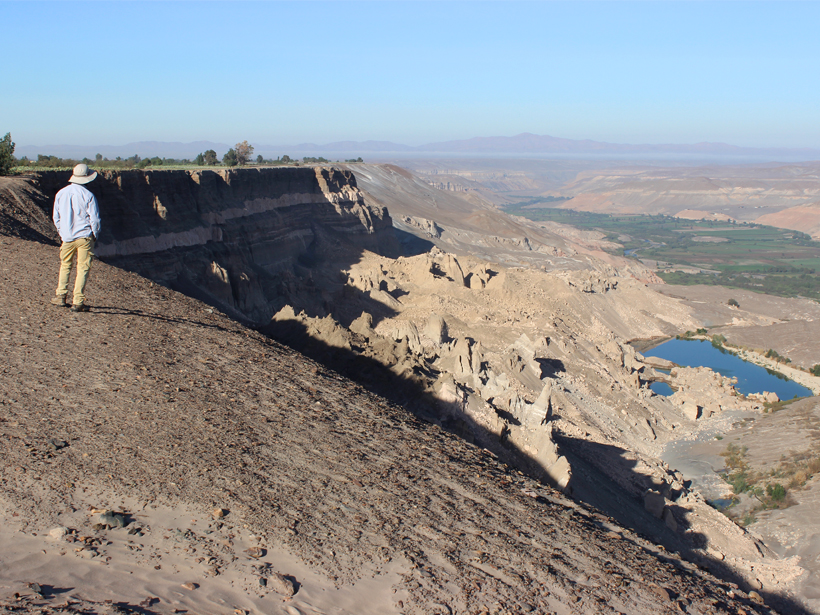
Modern Farming Kick-Starts Large Landslides in Peruvian Deserts
Large-scale irrigation programs have triggered giant, slow-moving landslides in arid valleys, leading to the destruction of both traditional and modern farmland.

Posted inNews
Using Satellites and Supercomputers to Track Arctic Volcanoes
New data sets from the ArcticDEM project help scientists track elevation changes from natural hazards like volcanoes and landslides before, during, and long after the events.
Posted inResearch Spotlights
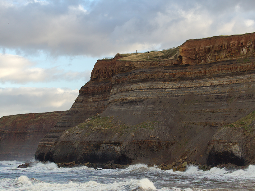
Timing Matters for Rockfall Estimates
Researchers studying an eroding coastal cliff detected 10 times more rockfall events when monitoring surveys were conducted hourly versus monthly.

Posted inNews
The Hazard Cascade That Led to the Anak Krakatau Landslide
Researchers used a combination of ground and space-based measures to look for warning signs for the flank collapse at Anak Krakatau in 2018, which triggered a tsunami that killed hundreds.
Posted inNews
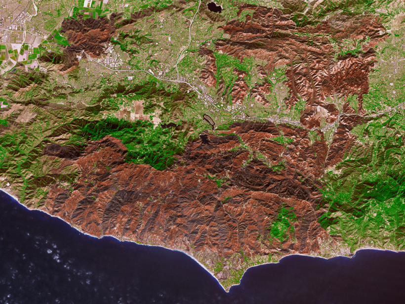
Wildfires Affect Water Resources Long After the Smoke Clears
Wildfires affect watersheds in myriad ways, from reducing evapotranspiration to changing soil repellencies, but new research suggests impacts on snowpack and runoff are the most significant.
Posted inNews
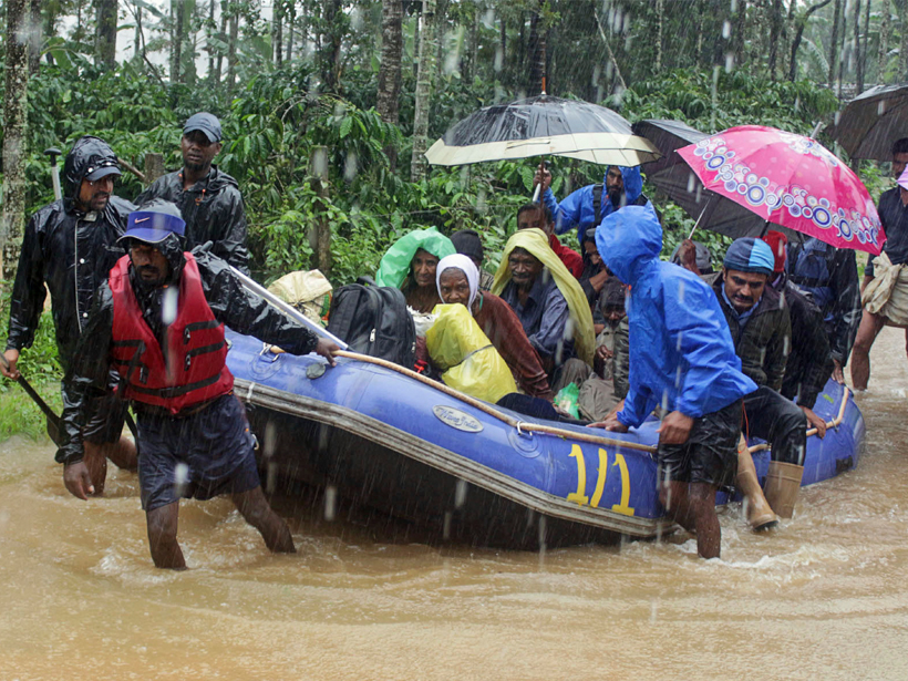
Devastating Floods Hit India for the Second Year in a Row
The deadly floods raise questions of land use and extreme precipitation trends.