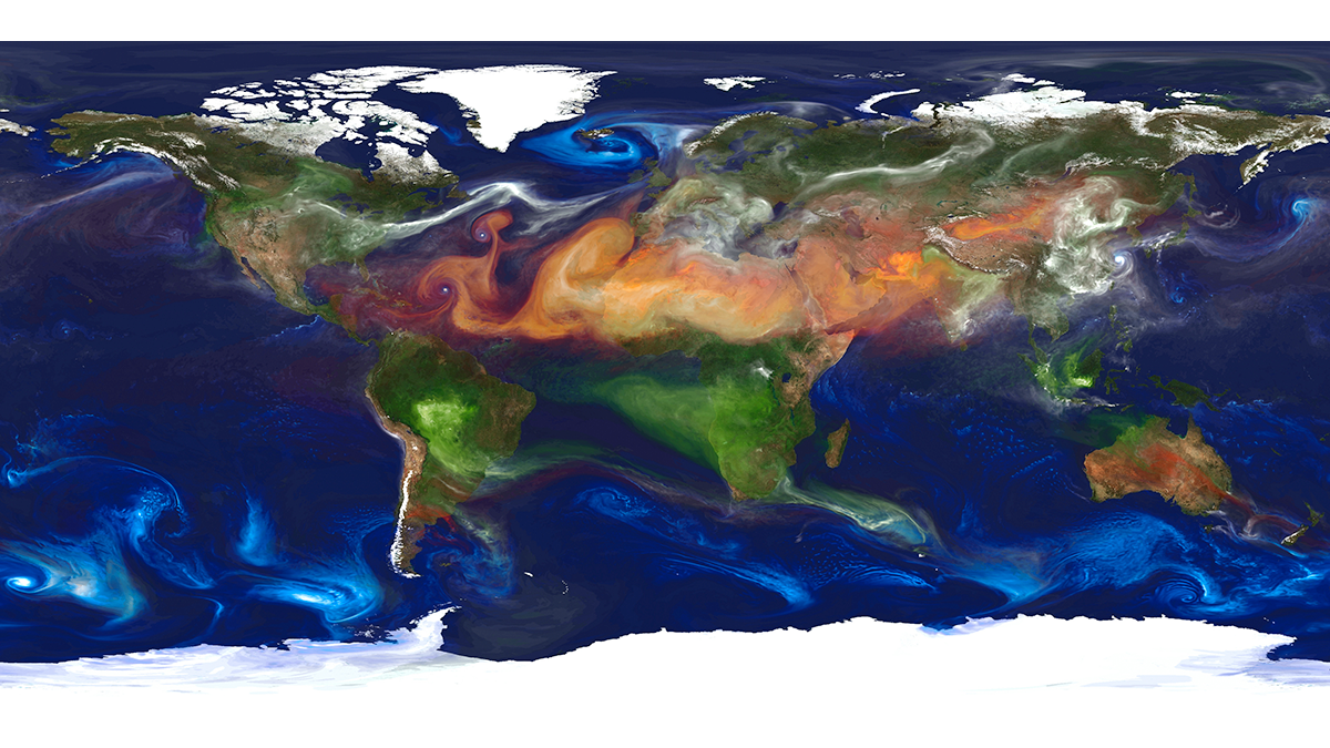
To reduce persistent aerosol-climate-forcing uncertainty, new in situ aerosol and cloud measurement programs are needed, plus much better integration of satellite and suborbital measurements with models.
Modeling
Posted inEditors' Highlights
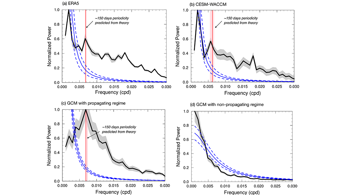
A 150-Day Periodicity is Revealed in the Southern Extratropics
An internally generated 150-day periodicity is newly identified in the Southern Hemisphere extratropical large-scale atmospheric circulation, which arises from the annular mode’s propagating regime.
Posted inResearch Spotlights
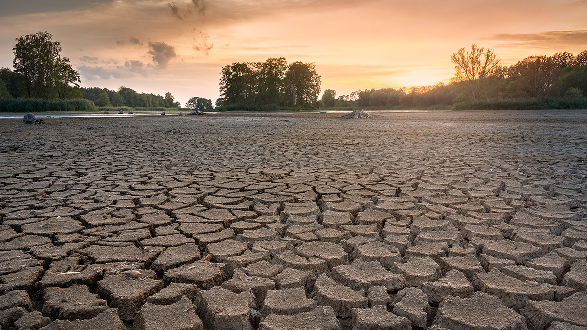
Climate Change Is Drying Out Earth’s Soils
Earth’s land is drying as it warms, but it is not clear how dry is too dry.
Posted inEditors' Vox
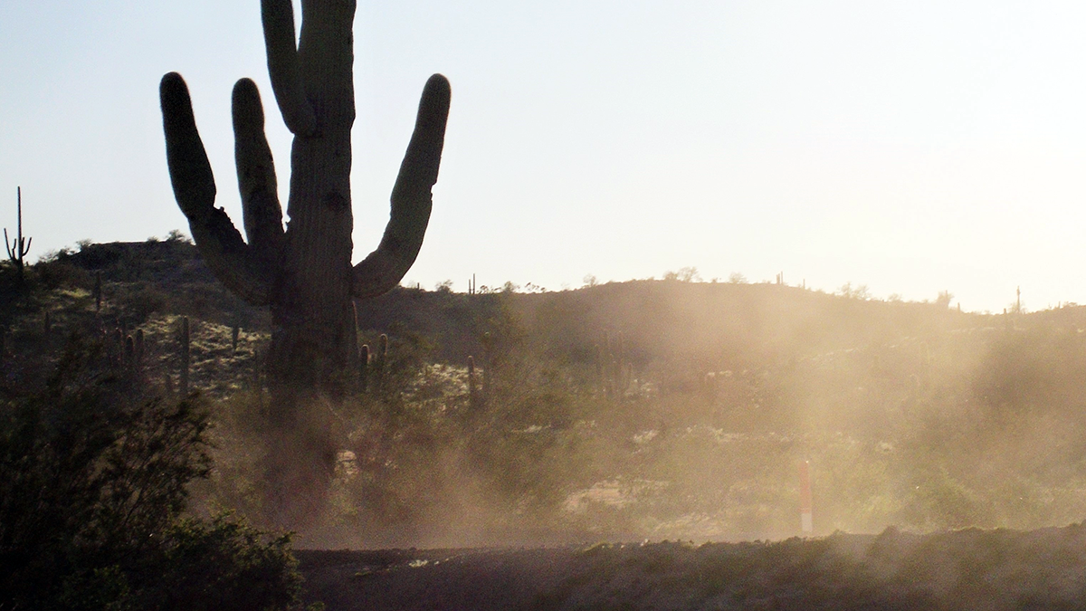
Danger in the Dust! The Hazards of Windblown Dust
Airborne dust not only causes disease, it also menaces transportation on land, sea, and air; disrupts renewable energy systems; transports pathogens and toxic substances; and poses many other hazards.

Posted inEditors' Highlights
A New Look at the Changing Water Cycle Over Land
Whether warming increases or decreases, rain over land depends on the relationship of soil moisture, evaporation, and aridity which shape rain regimes.
Posted inEditors' Highlights
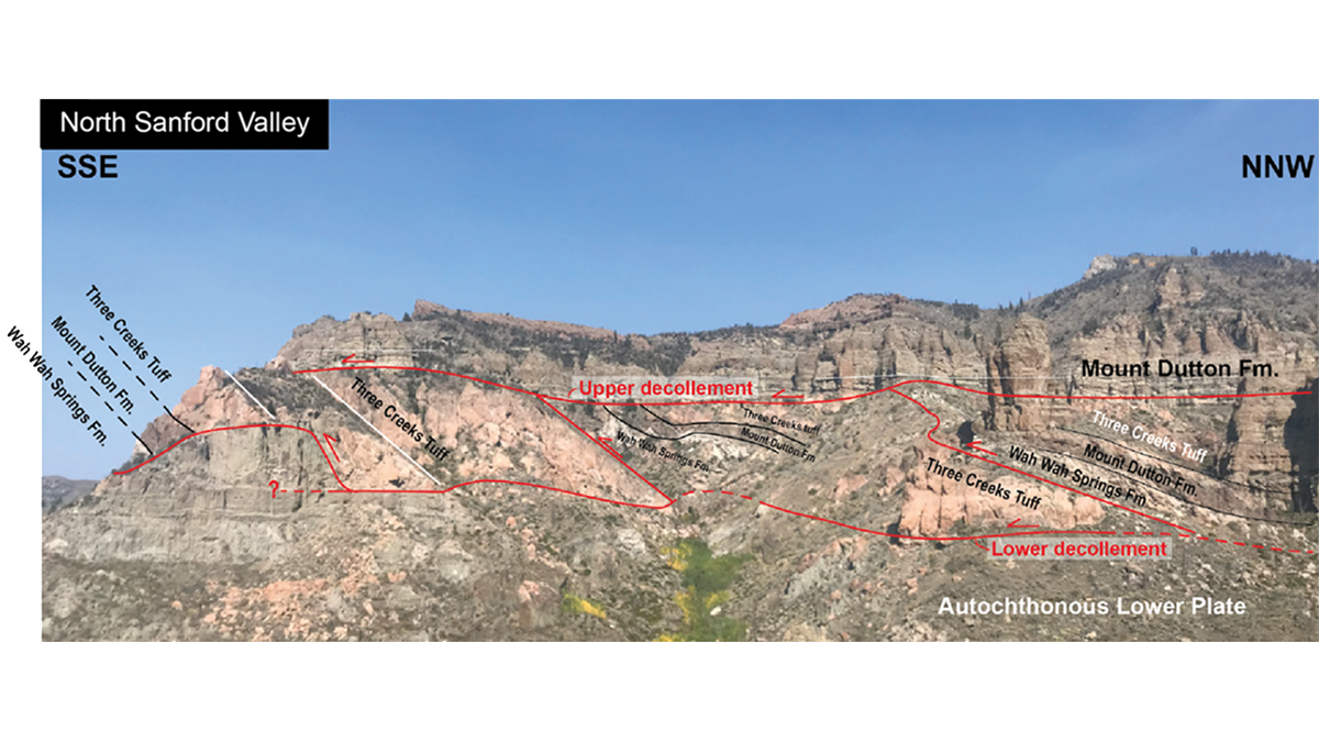
A Giant Rockslide on a Bed of Steam
Detailed observations of the giant Sevier gravity slide in Utah show that the exceedingly low basal friction required for its rapid emplacement was developed by trapped thermally pressurized fluids.
Posted inResearch Spotlights
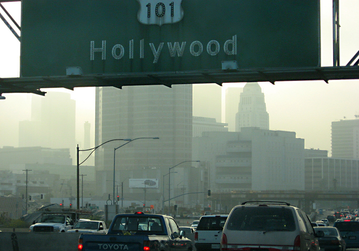
Fine-Tuning Air Pollution Models
InMAP estimates air pollution within cities, but its predictions are flawed for specific chemicals. Now, scientists are addressing that shortcoming.

Posted inResearch Spotlights
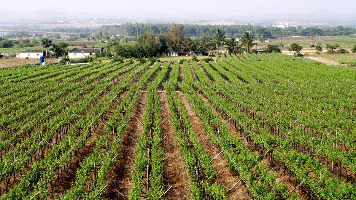
A Symbiosis Between Agriculture and Solar Power
A growing population requires more food and energy, which compete for limited space…unless they don’t.
Posted inNews
New Forecasting Tool Could Help Indian Farmers Plan Irrigation
Tropical weather is unpredictable, but a new tool could help farmers get a better grasp on it.

Posted inEditors' Vox
Heat Waves: A Growing Threat to Society and the Environment
With heat waves expected to worsen in the 21st century it is essential to take stock of our current understanding, knowledge gaps, and to set research priorities.