
A new baseline of volcanic contributions to the global mercury cycle reveals how drastically human activities have increased the element’s concentration in the atmosphere.
remote sensing

Posted inNews
Rainfall from Tropical Storms Might Be on the Downswing
Two decades’ worth of satellite data suggest that the rainfall rates of tropical cyclones might be decreasing relative to background levels.

Posted inEditors' Highlights
Observing the Impact of Convective Aggregation on Water Vapor
Remote sensing measurements for water vapor isotopic composition enable us to assess how convective aggregation influences the atmospheric hydrological cycle.

Posted inNews
Temperature Extremes Hit Lower- and Middle-Income Countries Hardest
Smaller cities in these regions are less likely to have infrastructure to deal with extreme climates.

Posted inEditors' Highlights
Wet Conditions Delay Wildfire Detection
When accompanied by a considerable amount of rainfall, ignition of wildfire by lightning over forested land may not be detected until days later.
Posted inEditors' Vox
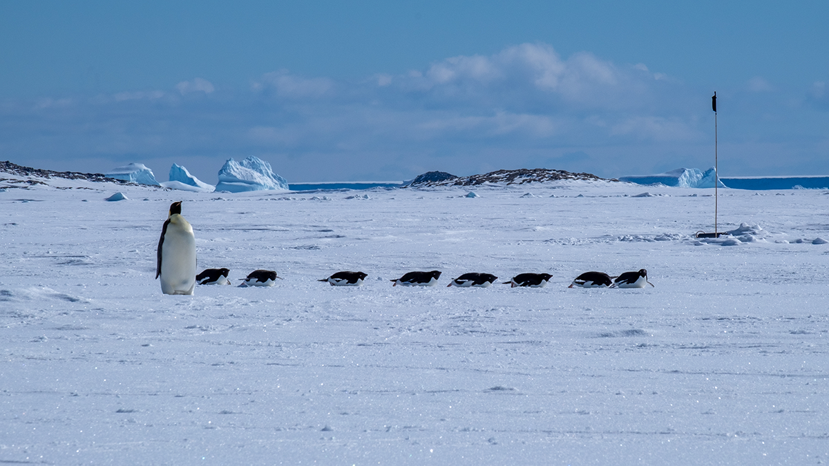
Landfast Sea Ice: The Most Important Ice You’ve Never Heard Of
Landfast sea ice, sea ice that is held stationary against the Antarctic continent, links firmly with many key climate processes, but its importance is only being fully realized as its extent dwindles.

Posted inNews
Rare Granite Body Discovered on Moon’s Farside
The granite couldn’t have formed the same way that it does on Earth—with liquid water and plate tectonics. So how did it get there?
Posted inEditors' Highlights
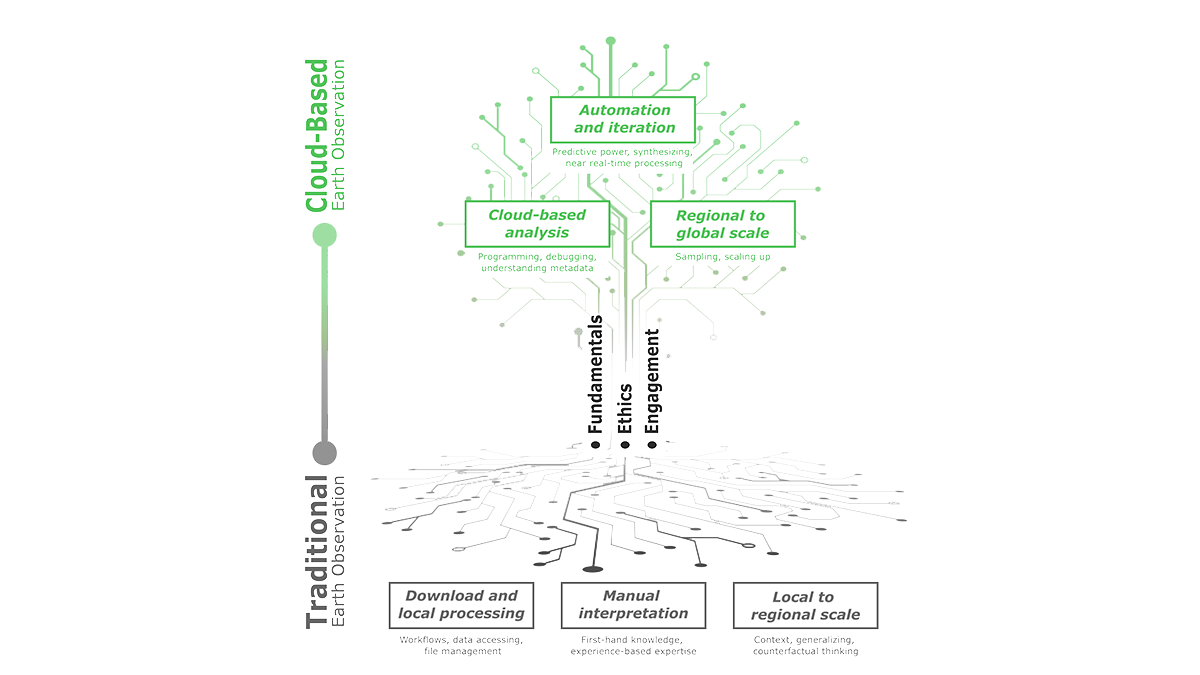
Education Lies Beneath the Clouds of Earth Observation
Cloud-based Earth Observation offers unique opportunities for education, but leveraging this requires new teaching methods that emphasize technical fundamentals, ethics, and stakeholder engagement.

Posted inNews
Where Does Fire Retardant Fall in a Forest? Ask a Satellite
Knowing where fire retardant lands once it’s dropped from a plane is hard to pin down. A new remote sensing approach offers clues.

Posted inFeatures
Hunting Hurricanes
NOAA’s Hurricane Hunters risk their lives each time they fly into the eye of a storm to collect crucial data for forecasting, hurricane modeling, and research.