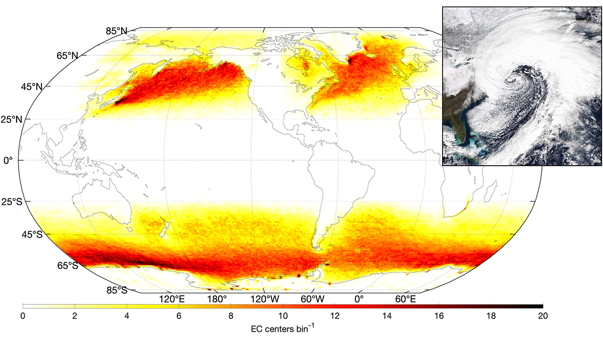
A new way of tracking ocean waves with satellite measurements was developed and applied to extratropical cyclones, revealing the effects of storm characteristics on extreme sea states.
satellites

Posted inNews
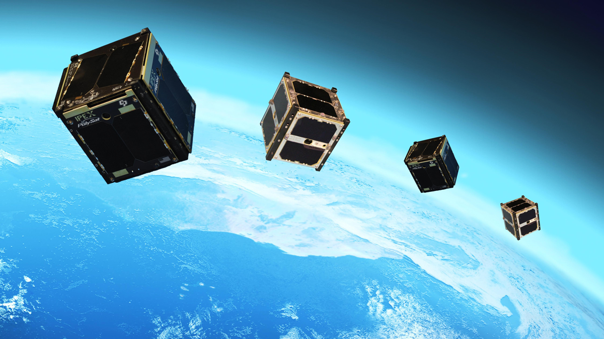
Earth’s Orbit Is About to Get More Crowded
The military is launching a fleet of small, interconnected satellites to collect data, track missiles, and aim weapons.

Posted inEditors' Highlights
First in Line to Track Blue Water From Space
“Blue water” is the water in rivers, lakes, and reservoirs. A new NASA mission will track blue water levels globally at least once a month. Early Adopters are eager and ready to use the data!

Posted inNews
Satellite Data Reveal Uptick in Cover Cropping on Farms
Over the course of a decade, farmers growing corn and soybeans in the U.S. Midwest increased their adoption of cover cropping—a tenet of so-called conservation agriculture—by fourfold.

Posted inResearch Spotlights
Enhancing Earthquake Detection from Orbit
A new application of machine learning boosts scientists’ ability to use data from satellite navigation systems to detect and warn of earthquakes.
Posted inOpinions
Looking to the Sky for Better Tsunami Warnings
Pairing navigation satellites and CubeSats could provide earlier, more accurate warnings of approaching tsunamis and other impacts of extreme events.

Posted inENGAGE, News
Satellites Get First Full-Year View of Arctic Sea Ice Thickness
The AI-based monitoring method may unlock data that could improve shipping safety and climate predictions.
Posted inEditors' Highlights
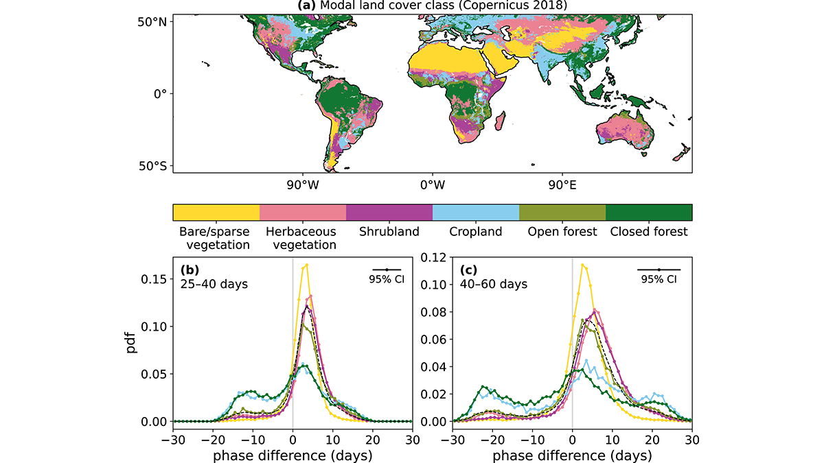
Vegetation Carries the Signature of Recent Precipitation
Vegetation response to precipitation is important for near-term weather predictability, and researchers show that such a response can occur within a few days and last up to two months.
Posted inEditors' Highlights
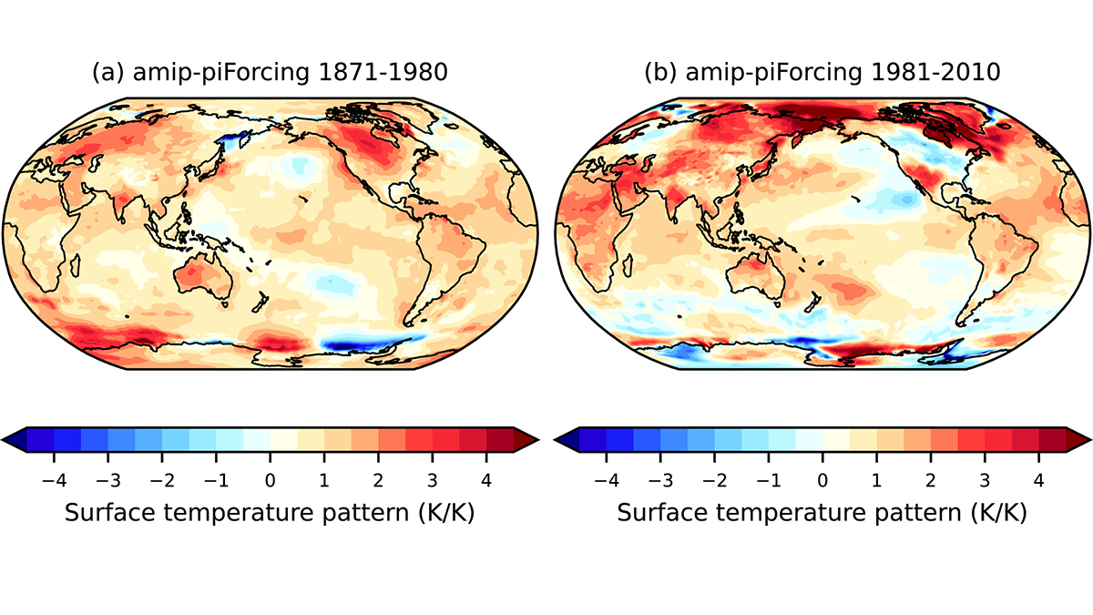
A Dilemma About Radiative Climate Feedback in Recent Decades
Given the unambiguous climate warming in recent decades, is it possible to infer radiative climate feedback from modern satellite measurements of the energy budget of the Earth?

Posted inResearch Spotlights
Satellites Can Accurately Take Earth’s Temperature
Satellite-based measurements of land surface temperature may prove to be an essential pairing with near-surface air temperatures to understand global warming and cooling trends.