
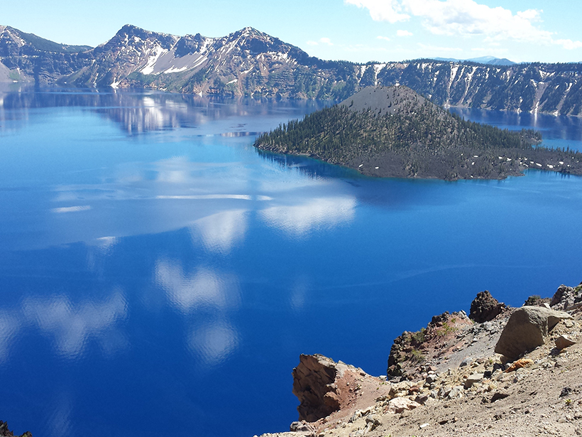
A novel interface allows users of MATLAB and GMT, two software packages widely used by the geoscience community, to simultaneously harness the capabilities of both products.
apps & software
Posted inResearch Spotlights
Water Quality Database Offers New Tools to Study Aquatic Systems
Researchers assess the federal Water Quality Portal, a Web portal that unites disparate water quality data sets and resources.

Posted inOpinions
Three Reasons Why Earth Scientists Should Edit Wikipedia
Are you looking to communicate science more broadly? Start by editing articles on the Internet's most popular general reference work.
Posted inNews
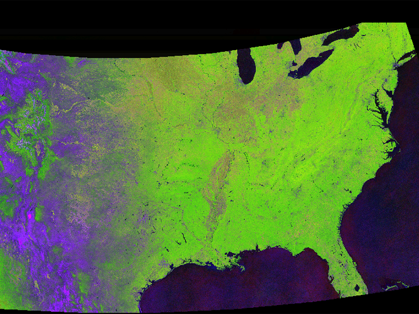
Tracking Global Change with a Cloud-Based Living Atlas
With their feet in the cloud, Descartes Labs is pushing the limit of how we study the Earth with satellite images.

Posted inNews
A Quest to Put Sea Level Rise Data in Your Pocket
A new climate change app uses interactive data maps to engage users and prompt the exploration of questions related to changing sea levels and climate vulnerability.
Posted inNews
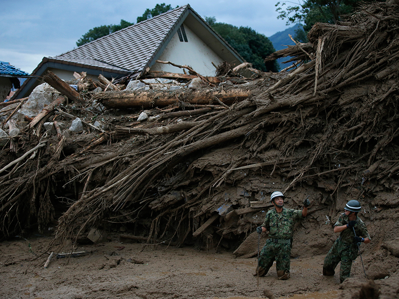
Tracking Landslide Hazards Around the World, Pixel by Pixel
Combining satellite precipitation measurements and remotely sensed environmental data, a new system aims to improve landslide awareness and preparedness in all corners of the globe.
Posted inAGU News
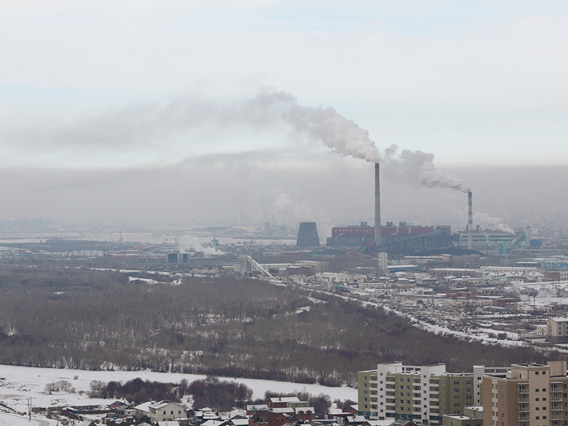
Closing the Air Quality Data Gap in the Developing World
How a husband-and-wife team created the world's first open access, open source international air quality data hub—a global resource for health organizations, policy makers, and others.
Posted inScience Updates
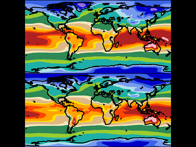
A More Powerful Reality Test for Climate Models
A new climate model evaluation package will deliver objective comparisons between models and observations for research and model development and provide a framework for community engagement.
Posted inNews
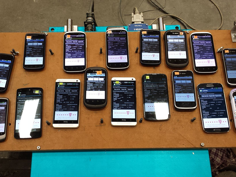
Crowdsourced Seismology
The seismologists of the world want to turn you into an earthquake detector.
Posted inScience Updates
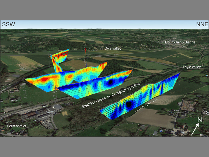
Visualizing Cross-Sectional Data in a Real-World Context
Combining the capabilities of an open-source drawing tool with Google Earth maps allows researchers to visualize real-world cross-sectional data in three dimensions.