A Streetcar to Subduction for the digital age: AGU revises a classic guidebook using Google Earth.
apps & software

Posted inNews
Virtual Super Instrument Enhances Solar Spacecraft
The same algorithms that help control self-driving cars and speech-to-text functionality have helped build a virtual instrument to study the Sun.

Posted inOpinions
Improving Reproducibility in Earth Science Research
Earth scientists need software technology that better integrates legacy data with current and future processing capabilities so they can assess and reproduce their colleagues’ results.

Posted inNews
Nineteen Eighty-Forams
Facial recognition technology is helping researchers identify marine microorganisms.
Posted inOpinions
It’s Time to Shift Emphasis Away from Code Sharing
Building well-documented, citable frameworks for Earth data analysis will encourage scientific replicability by addressing the underlying issues that inhibit code sharing.
Posted inScience Updates
Soil Moisture Data Sets Become Fertile Ground for Applications
An integrated data platform harmonizes many disparate soil moisture data sets to better inform disaster response planners, climate scientists and meteorologists, farmers, and others.

Posted inScience Updates
Understanding Electrical Signals from Below Earth’s Surface
A new version of a free Web application (SIGMELTS 2.0) helps Earth scientists interpret electrical anomalies in Earth’s crust and mantle and track the sources of earthquakes and volcanic eruptions.
Posted inScience Updates
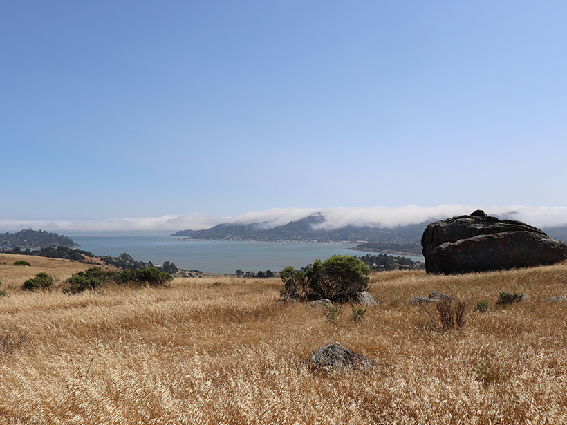
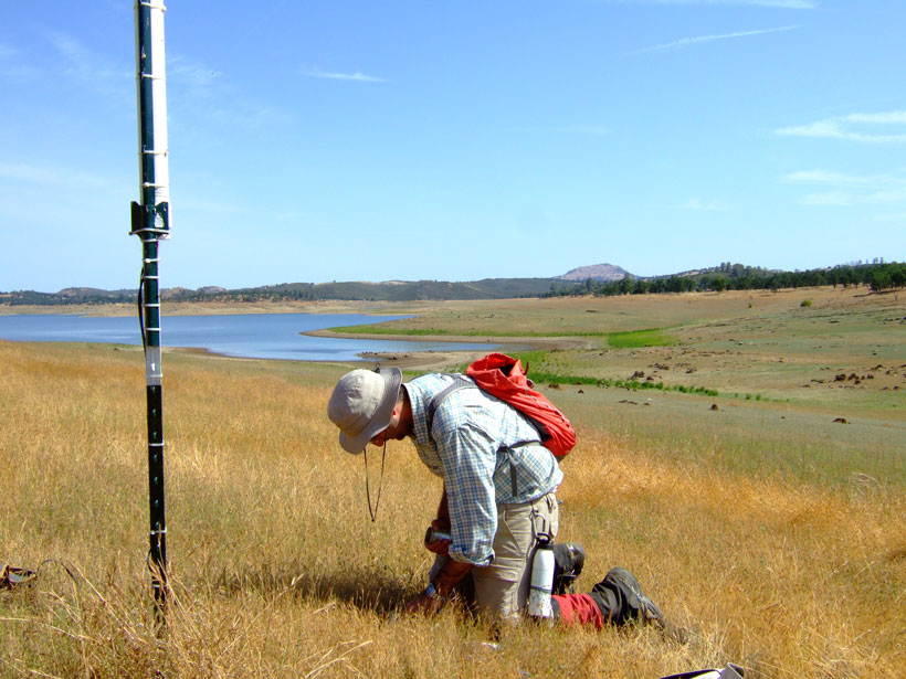
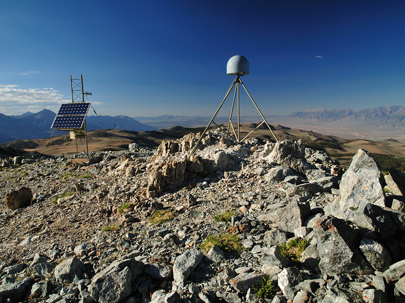
Harnessing the GPS Data Explosion for Interdisciplinary Science
More GPS stations, faster data delivery, and better data processing provide an abundance of information for all kinds of Earth scientists.

Posted inNews
Hack Weeks Gaining Ground in the Earth and Space Sciences
Workshops that fuse traditional learning with Silicon Valley–inspired “hack sessions” are giving scientists a new venue to build community and sharpen their skills.
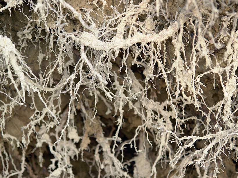
Posted inScience Updates
Better Plant Data at the Root of Ecosystem Models
Version 2 of the Fine-Root Ecology Database is bigger, better, and free to download and use.