In the age of monitoring nuclear weapons testing, existing regional seismic networks may be a key to discovering small, undetected explosions around the world.
hardware & infrastructure
Posted inNews
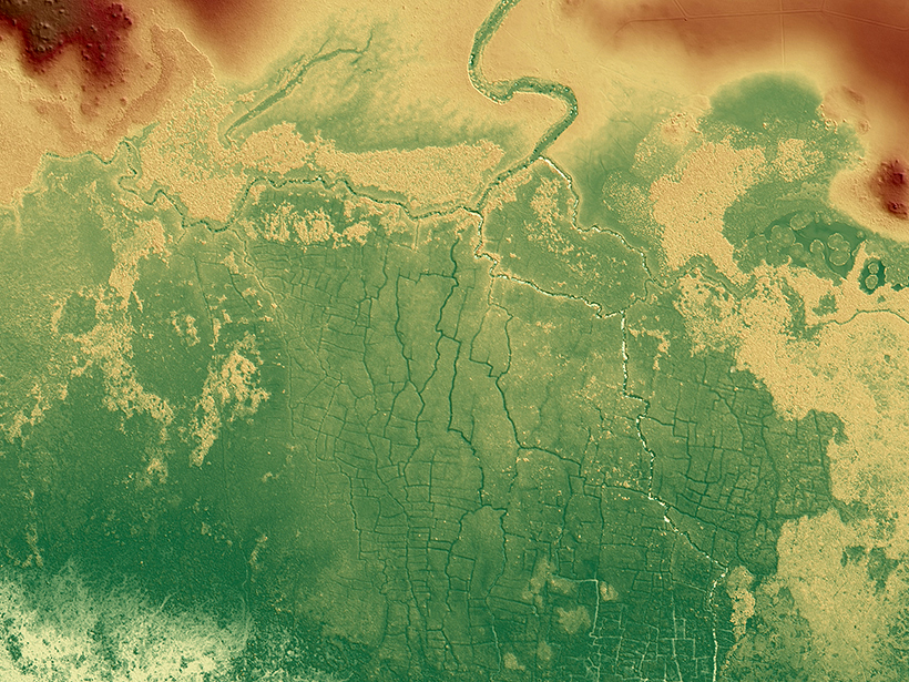
Ancient Maya Farms Revealed by Laser Scanning
One agricultural network was 5 times larger than earlier estimates, and the fields may be an early source of human-caused greenhouse gas emissions.

Posted inNews
Wind-Triggered Ground Shaking Masks Microseismicity
Ground motion caused by gusts of wind can drown out signals from the smallest earthquakes, potentially confusing earthquake detection algorithms.
Posted inNews
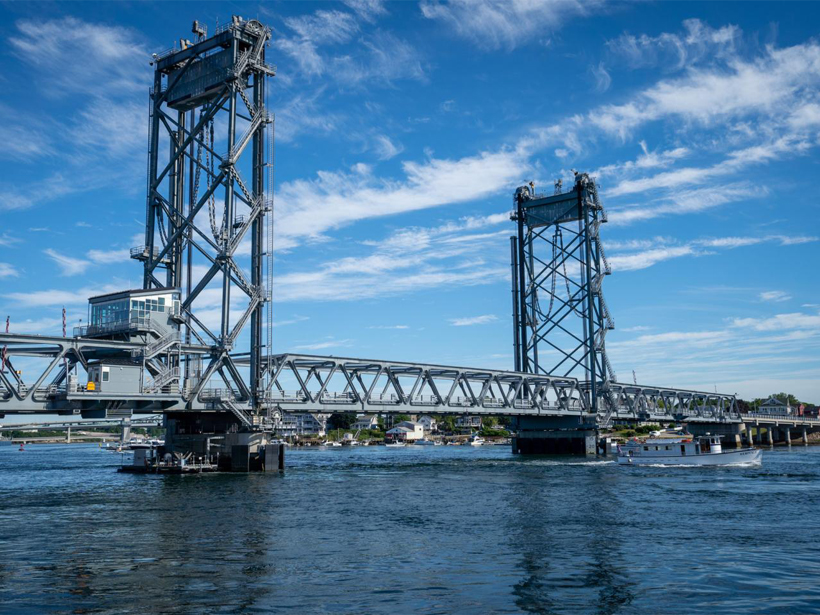
This Bridge Monitors the Environment and Harnesses Tidal Energy
The “smart” Memorial Bridge spanning the Piscataqua is outfitted with a tidal turbine and more than 40 sensors.

Posted inNews
Meteotsunami Spotted for the First Time in the Persian Gulf
The Persian Gulf, a region with high-end resorts and oil-related infrastructure dotting its shorelines, was hit in 2017 by weather-induced waves that rolled roughly a kilometer inland.

Posted inNews
Looking Straight at the Sun
Thanks to some crucial calibrations, the world’s biggest solar telescope will have a clearer view of the Sun.

Posted inNews
Recycled Glasses Connect Eclipse Watchers Across the Equator
Instead of throwing them in the trash, millions donated their slightly used eclipse glasses so that others around the world could share the experience.
Posted inFeatures
Seeing the Light
Scientists continue to use Apollo’s last experiment to probe everything from the interior of the Moon to theories of gravity.

Posted inFeatures
Gauging in the Rain
Measuring how much water falls from the sky is more complicated than it seems. To improve measurements, researchers are looking at umbrellas, hydrophones, and gamma ray detectors.
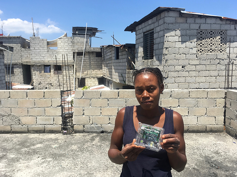
Posted inScience Updates
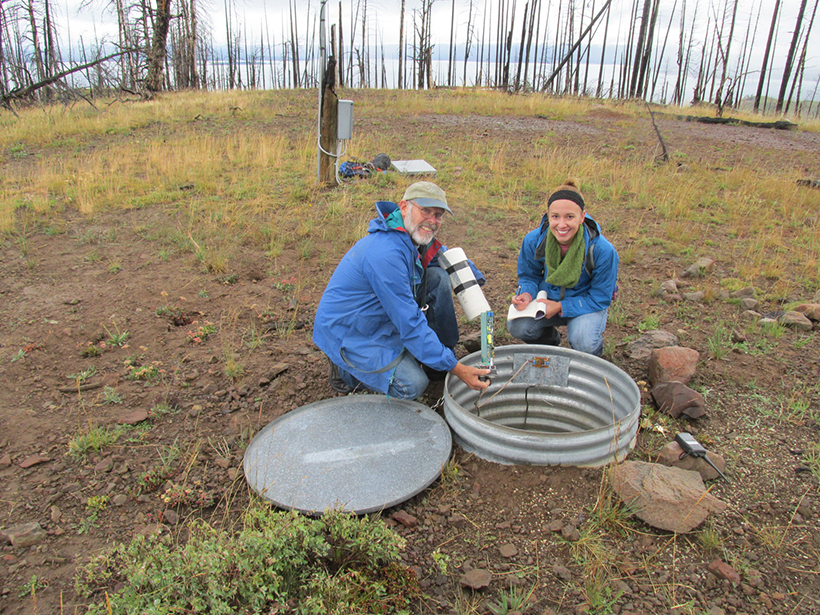
Monitoring Haiti’s Quakes with Raspberry Shake
A network of “personal seismometers” is intended to complement Haiti’s national seismic network to engage and inform residents about earthquake hazards and preparation.