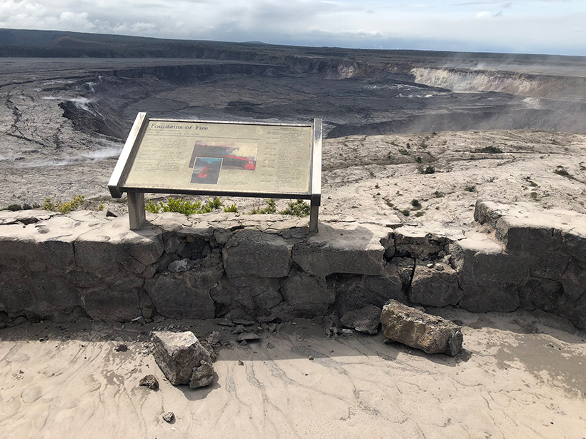
Seismic activity during the eruption of Kīlauea damaged the Hawaiian Volcano Observatory beyond repair. Now officials are looking for a new site.
hardware & infrastructure

Posted inNews
NOAA Monitoring Stations Are Off-Line from a GPS Y2K Moment
The outage could last until November for some stations.

Posted inScience Updates
Putting the Cloud to Work for Seismology
The cloud infrastructure developed in the business community has made access to cluster computing possible for even the smallest research groups, enabling new kinds of research workflows in geophysics.

Posted inScience Updates
Looking at “Night-Shining” Clouds from the Stratosphere
One research group studied noctilucent clouds at large distances from a different point of view, using cameras aboard a meteorological balloon that sailed into the stratosphere.

Posted inScience Updates
Examining Alaska’s Earthquakes on Land and Sea
The Alaska Amphibious Community Seismic Experiment is taking a close look at seismic activity along the Alaska Peninsula to understand earthquakes in this little-studied region.

Posted inNews
Unused Fiber-Optic Cables Repurposed as Seismic Sensors
So-called dark fiber can serve as regional seismic activity monitors and also detect earthquakes thousands of kilometers away, according to new research.
Posted inResearch Spotlights
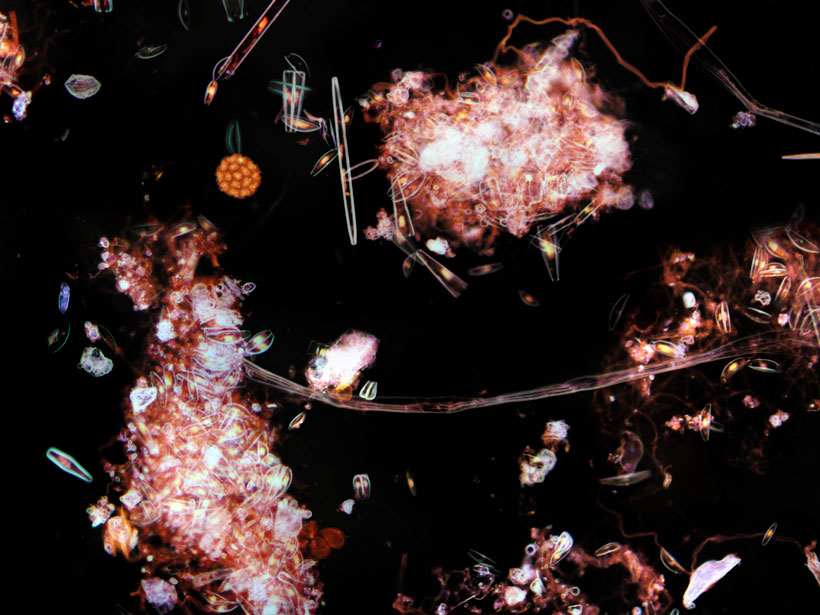
Oceanic “Pump” Sends Small Carbon Particles to Twilight Zone
Underwater gliders provide unprecedented, daily data that reveal new insights into how carbon gets from the atmosphere to the deep ocean.

Posted inScience Updates
A Digital Mayfly Swarm Is Emerging
Low-cost, open-source data collectors and a suite of collaborative online tools are making big leaps in the field of watershed monitoring.
Posted inEditors' Highlights
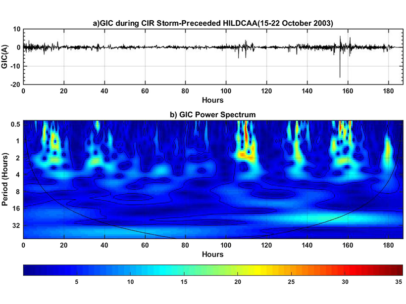
Can Moderate Space Weather Have Major Impacts?
Pipeline corrosion is an example of why we need better awareness of how long-term exposure to moderate space weather may have significant economic impact by slowly degrading vulnerable systems.
Posted inAGU News
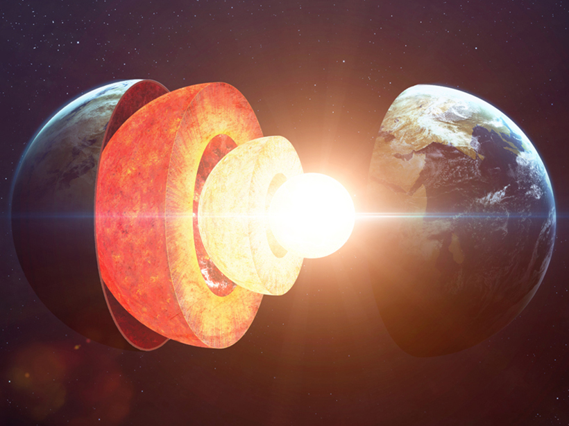
Collaboration Reveals What’s Beneath the Surface
How do scientists look underground? Answering questions about Earth’s interior requires an attack from many angles.