
Research is increasingly showing how drought, heat, and wildfire influence each other. Ongoing collaborations provide templates for how best to study these phenomena and plan for their future impacts.
disaster preparedness
Posted inFeatures
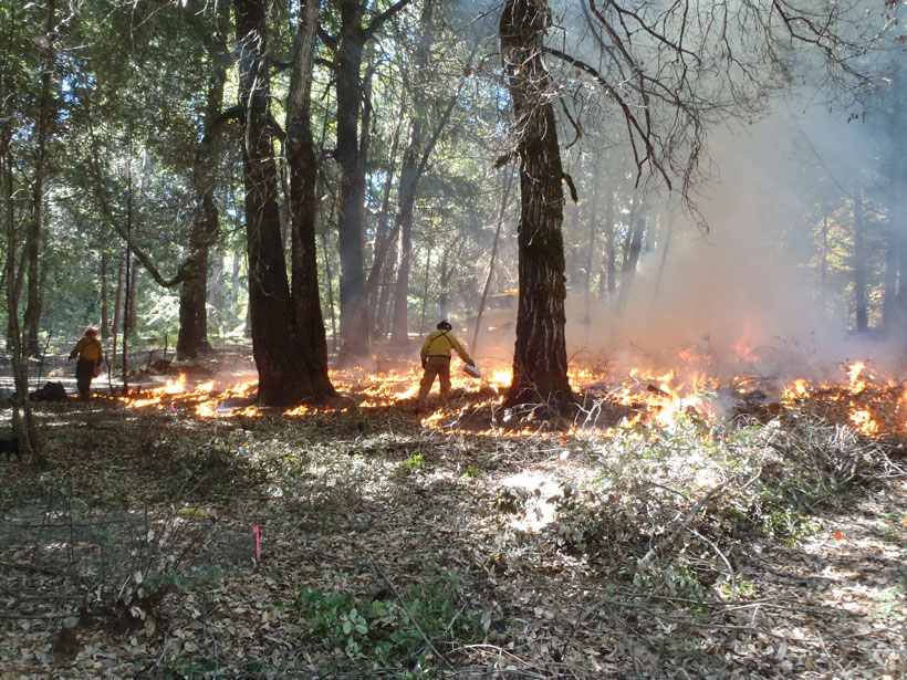
Fire as Medicine: Learning from Native American Fire Stewardship
For centuries, Indigenous peoples have worked to live in harmony with fire. Can integrating such cultural practices into contemporary wildfire management help prevent catastrophic wildfires?
Posted inNews
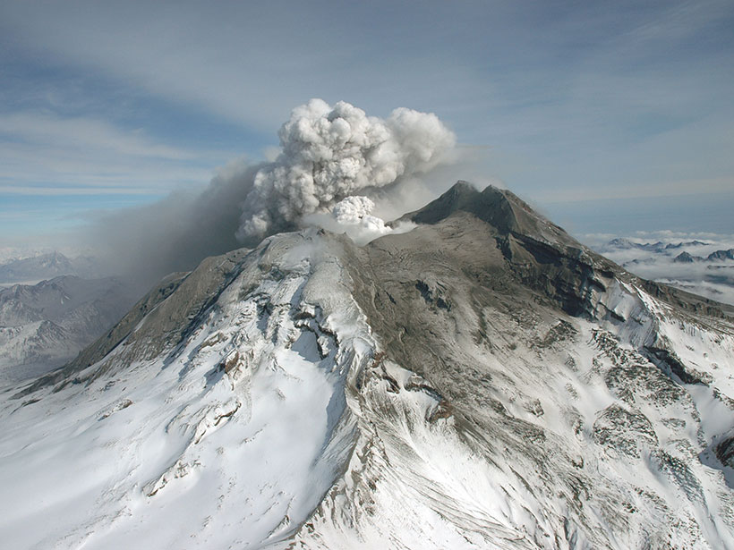
Volcanic Lands Warm Before Eruptions
Satellite data have revealed that ground radiant temperatures around volcanoes rose in the years leading up to eruptions. The observation may help in forecasting future volcanic activity.

Posted inAGU News
Building Equity into Hazards Research
In the March issue of Eos, we look at how scientists who study earthquakes, floods, and other hazards are factoring people into their models.
Posted inOpinions
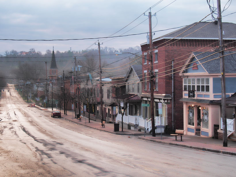
Building Resilience in Rural America
People in rural communities are often hit disproportionately hard by natural hazards, largely because of in-equitable and inflexible risk reduction policies. But there are ways to change that.
Posted inScience Updates
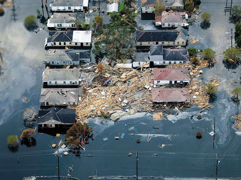
Assessing Social Equity in Disasters
Natural hazard impacts and resources allocated for risk reduction and disaster recovery are often inequitably distributed. New research is developing and applying methods to measure these inequities.
Posted inFeatures
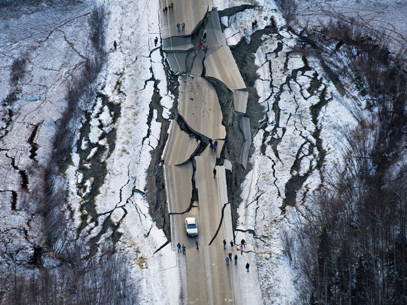
Where Do People Fit into a Global Hazard Model?
By incorporating human systems, scientists are modeling geohazards with equity in mind.
Posted inFeatures
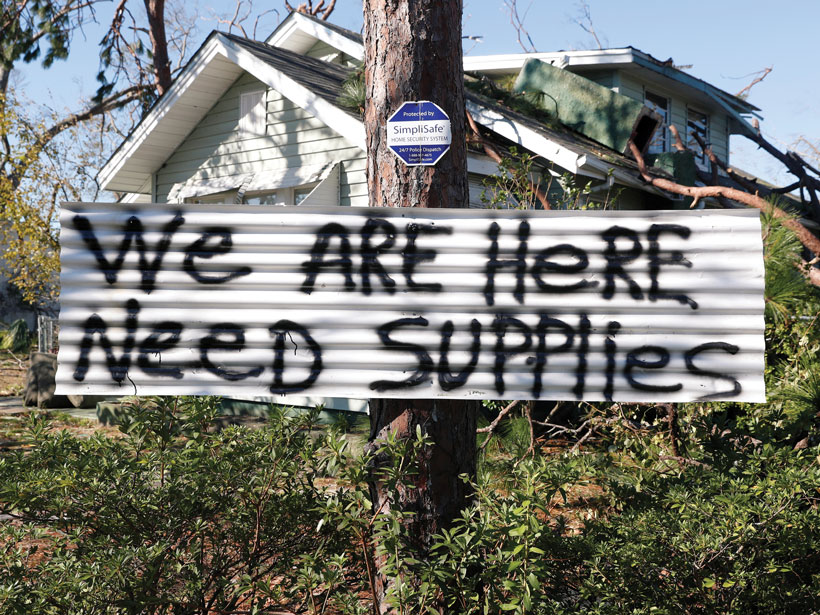
Natural Hazards Have Unnatural Impacts—What More Can Science Do?
As disadvantaged communities suffer disproportionately from natural hazards, scientists, policymakers, and emergency managers explore why policies are failing—and what can be done about it.
Posted inNews
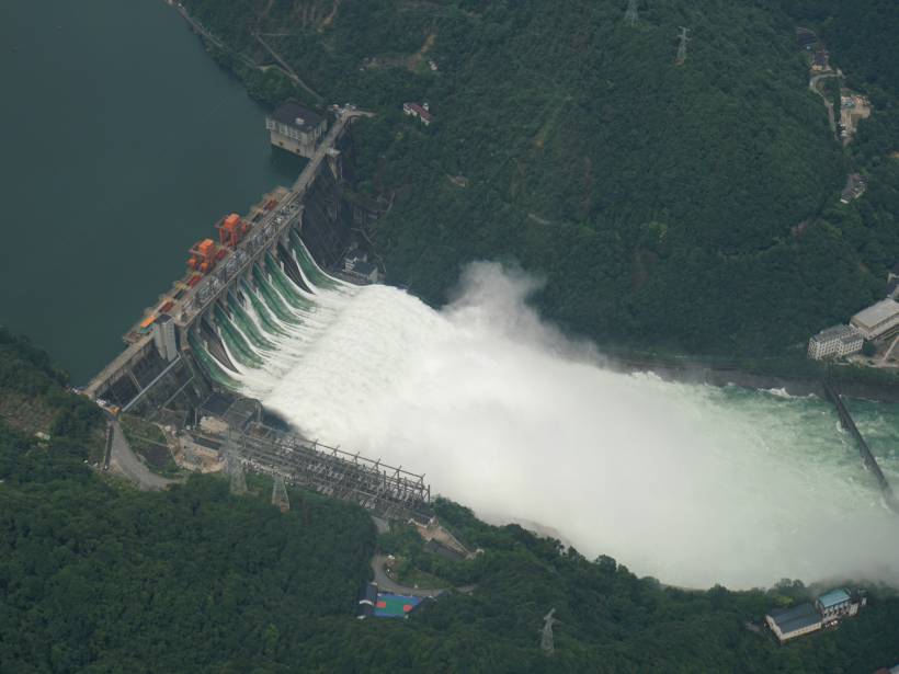
Finding “Glocal” Solutions to Flooding Problems
Scientists call for joint efforts to combine real-time global rainfall data with high-resolution local hydrology to better forecast floods.

Posted inEditors' Highlights
Post-Tropical Cyclones Influence on European Windstorm Risk
Comparing the importance of midlatitude cyclones and post-tropical cyclones on European windstorms during the Atlantic hurricane season using ERA-5 reanalysis.