• About
  • Sections
  • Topics
    • Climate
    • Earth Science
    • Oceans
    • Space & Planets
    • Health & Ecosystems
    • Culture & Policy
    • Education & Careers
    • Opinions
  • Projects
    • ENGAGE
    • Editors’ Highlights
    • Editors’ Vox
    • Eos en Español
    • Eos 简体中文版
    • Print Archive
  • Science Policy Tracker
  • Blogs
    • Research & Developments
    • The Landslide Blog
  • Newsletter
  • Submit to Eos
  • AGU.org
  • Career Center
  • Join AGU
  • Give to AGU
  • About
  • Sections
  • Topics
    • Climate
    • Earth Science
    • Oceans
    • Space & Planets
    • Health & Ecosystems
    • Culture & Policy
    • Education & Careers
    • Opinions
  • Projects
    • ENGAGE
    • Editors’ Highlights
    • Editors’ Vox
    • Eos en Español
    • Eos 简体中文版
    • Print Archive
  • Science Policy Tracker
  • Blogs
    • Research & Developments
    • The Landslide Blog
  • Newsletter
  • Submit to Eos
Skip to content
  • AGU.org
  • Career Center
  • Join AGU
  • Give to AGU
Eos

Eos

Science News by AGU

Support Eos
Sign Up for Newsletter
  • About
  • Sections
  • Topics
    • Climate
    • Earth Science
    • Oceans
    • Space & Planets
    • Health & Ecosystems
    • Culture & Policy
    • Education & Careers
    • Opinions
  • Projects
    • ENGAGE
    • Editors’ Highlights
    • Editors’ Vox
    • Eos en Español
    • Eos 简体中文版
    • Print Archive
  • Science Policy Tracker
  • Blogs
    • Research & Developments
    • The Landslide Blog
  • Newsletter
  • Submit to Eos

faults

Map of study area
Posted inEditors' Highlights

Radar Satellites Capture Subtle Slip Evolution on Faults

by Cécile Lasserre 30 March 202327 March 2023

A five-year time series from radar satellite imagery tracks surface slip on major faults in the San Francisco Bay Area, capturing subtle velocity variations and controlling factors.

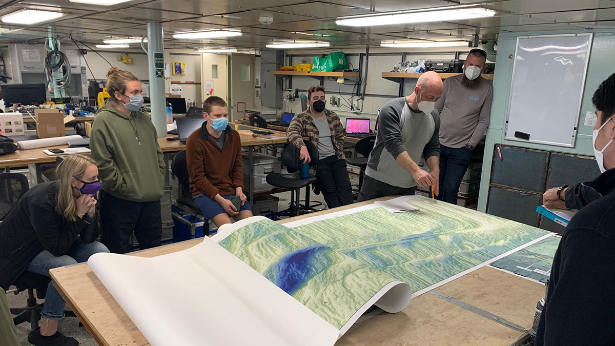
Several people sit and stand around a large map of the seafloor on a table in laboratory space.
Posted inScience Updates

Observing a Seismic Cycle at Sea

by Margaret Boettcher, Emily Roland, Jessica Warren, Robert Evans and John Collins 7 March 202325 May 2023

Scientists organized a trio of expeditions to document the buildup of stress leading to a large earthquake on a seafloor fault, developing innovations for successful seagoing research in the process.

Aerial photo of the San Andreas Fault
Posted inNews

Accounting for Offbeat Earthquakes Could Improve Forecasts

by Erin Martin-Jones 2 March 20232 March 2023

A new model considers the full history of earthquakes on a fault, improving forecasts of when the next will strike.

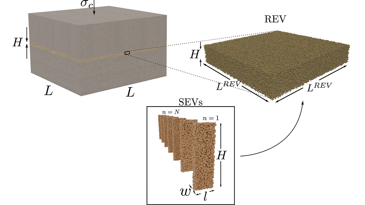
Diagram of a fault zone
Posted inEditors' Highlights

Upscaling Slip and Friction From Grains to the Fault Core

by François Renard 10 February 20238 February 2023

Numerical simulations demonstrate how averaging deformations at the grain scale may unravel the macroscopic friction and unstable slip behavior of a fault core.

An aerial view of a beige and green landscape on the San Andreas fault
Posted inResearch Spotlights

A New Measure of Roughness Could Advance Earthquake Geophysics

Sarah Stanley, Science Writer by Sarah Stanley 8 February 20238 February 2023

Scientists recently developed an alternative way to measure a rock’s roughness. It might help them understand the physics of faults.

背景是群山和蓝天,前景是绿色的牧场。一条路从前景延伸到群山。
Posted inResearch Spotlights

新的构造板块模型可改进地震风险评估

by Morgan Rehnberg 18 January 202319 January 2023

新西兰构造板块的一个新模型可以识别地震可能性增加的区域。

Mountains and blue sky in the background, with green pastures in the foreground. A road extends from the foreground toward the mountains.
Posted inResearch Spotlights

New Tectonic Plate Model Could Improve Earthquake Risk Assessment

by Morgan Rehnberg 21 December 202218 January 2023

A new model of tectonic plates in New Zealand may identify areas of increased earthquake likelihood.

Two maps showing the location and main tectonic features of the 1987 Edgecumbe earthquake.
Posted inEditors' Highlights

Coseismic Displacement of 1987 Earthquake from Aerial Images

by Daniel Melnick 8 December 20226 December 2022

Differencing digital surface topography models constructed from historical aerial photographs reveal the coseismic surface displacement field of the 1987 earthquake in northern New Zealand.

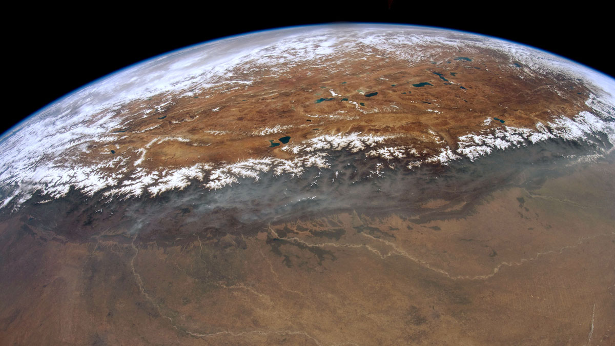
白雪覆盖的山峰排列在青藏高原的南部边缘。
Posted inResearch Spotlights

研究揭示尼泊尔西部喜马拉雅港湾状地形的形成

Sarah Derouin, Science Writer by Sarah Derouin 19 October 202219 October 2022

研究人员通过热运动学研究发现,沿着板块汇聚界面大型逆冲断层在中下部地壳深处的地壳物质堆叠塑造了高原的生长和区域水系的发育。

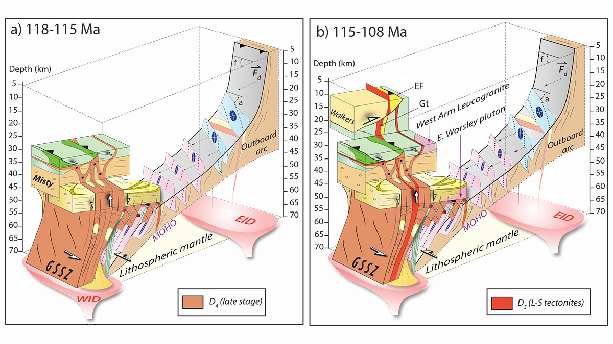
Two block diagrams that show how the George Sound shear zone (GSSZ) grew through the crust in space and time.
Posted inEditors' Highlights

Feedbacks Between Deformation and Magmatism as Shear Zones Grow

by Alexis Ault 29 September 202228 September 2022

New research reveals how the presence and absence of magmatism governs how shear zones initiate, grow, and reactivate to connect lower and upper crustal deformation.

Posts pagination

Newer posts 1 … 5 6 7 8 9 … 18 Older posts
A view of a Washington, D.C., skyline from the Potomac River at night. The Lincoln Memorial (at left) and the Washington Monument (at right) are lit against a purple sky. Over the water of the Potomac appear the text “#AGU24 coverage from Eos.”

Features from AGU Publications

Research Spotlights

In the Arctic, Consequences of Heat Waves Linger

22 August 202521 August 2025
Editors' Highlights

Long-Term Strain Record of Mount Etna Captures 84 Fountaining Eruptions

26 August 202526 August 2025
Editors' Vox

Waterworks on Tree Stems: The Wonders of Stemflow

21 August 202520 August 2025
Eos logo at left; AGU logo at right

About Eos
ENGAGE
Awards
Contact

Advertise
Submit
Career Center
Sitemap

© 2025 American Geophysical Union. All rights reserved Powered by Newspack